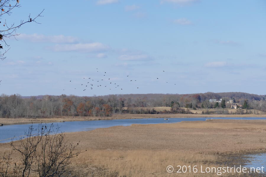
My fourth outing with MAHG was at the Jug Bay Natural Area, on the Patuxent River near Upper Marlboro, MD. Sunny, with no clouds, very light wind, and temperatures starting in the 40s (warming up to the high 40s or low 50s), today was another great day for a hike.
We met at the parking lot near the main visitor center near Jackson’s landing. A relatively large group of nearly 20 hikers, we weren’t the only ones there for a hike. The Appalachian Mountain Club was also leading a hike in the park, meeting at the same place and time. Since our hike leader was running a few minutes late, and the AMC hike leader also had a “Meetup” sign, several hikers with MAHG signed in for the AMC hike, not realizing it was the wrong group until I noticed and asked about it. (Not surprisingly, we saw or passed by the AMC group a few times throughout the day.)
Next to the visitor center is an approximately 25-foot tall wooden observation deck (with an elevator set to open next year), providing a lookout over Jug Bay. While waiting for our hike leader to arrive, I briefly pondered climbing the stairs to the top, before deciding to wait until after the hike was over.
Our hike leader, a member of MAHG’s leadership team, arrived shortly after the AMC’s group headed out, and after getting everyone signed in, we set off on our hike.
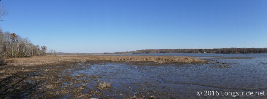
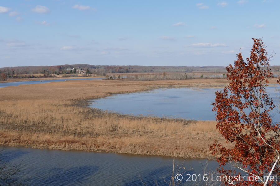
We started off heading southeast along the western bank of Jug Bay, taking side trails to two scenic overlooks of the bay before continuing on our roughly figure-eight shaped hike.
Being located next to a bay, our hike today involved very little elevation change. Covering roughly 8.5 miles, our hike had a little under 700 feet of total elevation gain, roughly a quarter of which came from steep descents into and climbs out of valleys with stream crossings. The rest of the hike was very gentle slopes, with about a 2.5% grade on average. This made today's hike the easiest by far I’ve had with MAHG, which is not a bad thing — I’d never been to Jug Bay before, and not every hike can or should be difficult.
We passed by two museums. Towards the start was the Patuxent Rural Life Museums, which we largely bypassed. Near the halfway point was the American Indian Village at Patuxent River Park, a replica of an eastern woodland American Indian village.
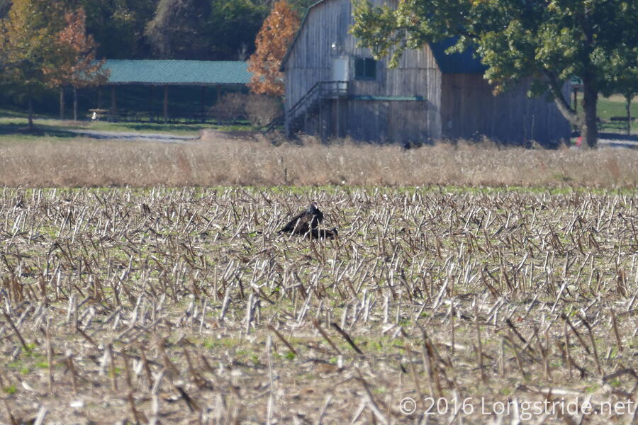
We paused at the Indian village, giving everyone a chance to take a short break. The village, located in a clearing adjacent to the former Columbia Air Center. The airport ceased operations in 1954, and today, no sign of it remains, save for an information plaque. The air field, now just a field, was filled with dried stems of harvested corn was otherwise empty, save for a few turkey vultures, who perhaps did not get the memo that flight service has been discontinued.
The wind picking up in the open field, we resumed our hike, heading back into the woods, passing a horse and rider on our meandering path back to where we started, making it back to our cars in the early afternoon.
All of the trails we were on today — we hiked parts of five of the park’s eight trails — were very well marked, with color-coded directional arrows on fiberglass posts at regular intervals and at each intersection. Armed with a trail map, it would be quite hard to get lost.
The park, adjacent to Jug Bay and with its observation platforms, is also popular for birdwatching. Unfortunately, it was far too late in the year to see the osprey which often nest along the Patuxent River and Chesapeake Bay, and while there were some sea gulls in the wetlands along the bay in the morning, there were hardly any to be seen after our hike had finished. The observation tower near the parking lot provided a great view, but with no birds to be seen, I didn’t linger there too long.
Not surprisingly, I spent a large portion of the hike talking about my experience on the Appalachian Trail. I’m just glad people are interested. Maybe one of these days, I’ll actually be the catalyst that convinces someone to hike the Trail.
Next up: a sevenish mile hike in Patapsco Valley State Park on Friday morning.
