Two bus rides, a shuttle, and a short walk brought me to Cape Reinga, the northern terminus of Te Araroa.
CareFree and I got up at 5:30, before sunrise, got breakfast, finished some last minute packing, and were out the door at 6:45, on our way to the trail.
A 20 minute walk brought us to the Sky Tower, a tall spire in the middle of Auckland’s CBD, and the bus terminal along its western side.
Boarding was a little slow; we boarded by roll call, the driver calling out names, presumably in some order that made sense given where people were getting off. We noted at least half a dozen obvious TA hikers, and several more backpackers, traveling with large packs on their backs and only-slightly-smaller packs on their chests.
After leaving Auckland, the bus passed through forested rolling hills and meadows, winding its way to the north. Along the way, we saw several work crews on the steep hills, stabilizing them from erosion.
At a short break at a rest area with a small bakery, we chatted with a few of our fellow passengers, also on their way to the TA.
As we approached Whangārei, we could see the ocean. A couple of small islands, and the mountains across Bream Bay, rose dramatically from the water. (The trail will take us along the water there in a few weeks.)
Progressing further north, clouds gradually filled the sky. The weather report continued to look good — no rain — though some raindrops splashed on the bus windows, which wasn’t really surprising, given the clouds. By the time we reached Waitangi, a steady drizzle started.
We arrived to our bus transfer at Kerikeri a little late, and it took a longer than expected to get everyone on the bus because there were more backpacks than they’d planned on, and a couple of bikes that took up a lot of space in the luggage compartment, forcing the last few people to get on the bus (not us) to have to carry their packs on.
To be honest, I napped most of the bus ride to Kaitaia. The scenery was nice, but I’d gotten up early. As we got closer to Kaitaia, the occasional drizzle turned into a steady rain, which tapered off just as the bus dropped us off. We got off the bus at a public building at the south end of town, with public toilets and a meeting hall, and a New Zealand iSite, a local information center. We registered that we would be hiking along 90 Mile Beach, which we will get to tomorrow.
I confirmed our 4pm shuttle, and we walked into town to get cash to pay for our shuttle. Hannah, whom we met at the bus’s rest stop, opted to join us, since she didn’t yet know how she was getting to the terminus. She’s from Germany, taking a break between graduating from college and starting working.
A little after 4, we got picked up by Dan, who shuttles hikers from Kaitaia to Cape Reinga as one of his businesses. The ride from Kaitaia to Cape Reinga took about two hours, during which time Dan regaled us with plenty of stories from his years of shuttling hikers — and then rescuing them; he’s also a paramedic and participates in search-and-rescue operations.
The drive to the cape was quite scenic. Near the end of the road, Dan stopped briefly at a scenic overlook to the west, with a view to the old lighthouse on the peak of a small island. We could also see the main track of the TA, closed for repairs due to bad weather earlier in the year.
About five minutes later, Dan dropped us off at the parking lot outside of Cape Reinga.
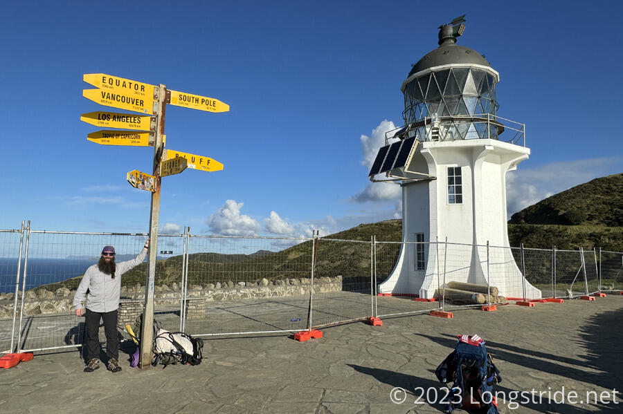
We walked down a stone path from the parking lot, winding down the side of a hill to go out to the edge of the cape, where a small lighthouse stood, behind a metal fence — presumably to guard visitors from some restoration work.
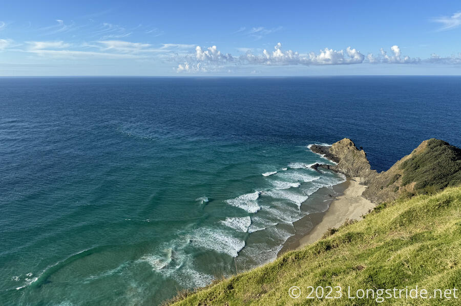
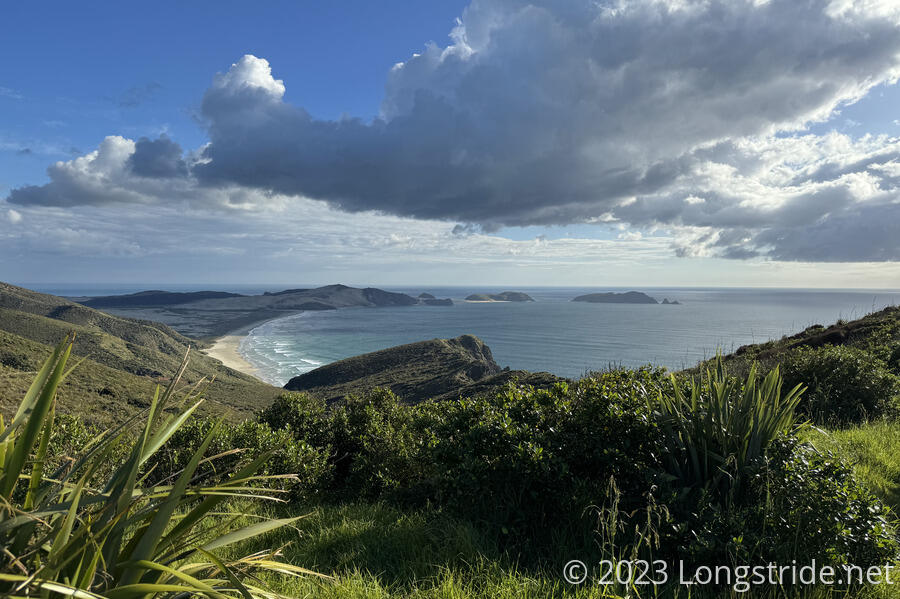
It was not as windy as I expected. Visibility out over the ocean was pretty good; we could see some faint islands in the distance.
Also at the cape is a signpole with directional arrows pointing towards various major cities. Bluff, the southern terminus of the TA, is “only” 1,452 km away, though it will take over 3,000 km of hiking to get there.
The lower arrow, pointing towards Tokyo, is nearly completely covered with stickers, seemingly mostly from German hikers or tourists. (Apparently, Germans love collecting stickers, and pasting them elsewhere.)
From the lighthouse, we began our hike of Te Araroa, heading back towards the parking lot. We passed the turn to the trail’s usual route along the Te Paki Coastal Track, closed for now, reentered the parking lot, and headed down the road, back in the direction we’d come from. Only an hour and a half before sunset, there was no traffic to speak of.
We turned off the road, heading down a gravel road that wound around a couple of ridges, dropping us down to sea level, and the Tapotupotu Bay Campground.
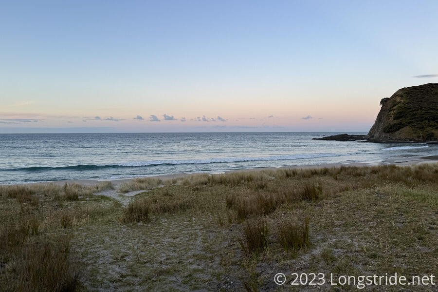
We pitched our tent shortly after sunset, in a grassy area up a bit from the beach. One other tent was also nearby. CareFree suspected it was her friend Ulrike, though they’d already gone to bed, so we couldn’t tell for sure.
Having come from our apartment today, we had plenty of extra food we’d intended for the bus ride, including sandwiches and veggies that CareFree prepared this morning. While we were waiting for Dan to pick us up, she also picked up a can of soda and a cupcake for each of us at a coffee shop in Kaitaia.
Hannah joined us for dinner; after we finished eating, conversation was abruptly interrupted by the sudden arrival of sandflies and mosquitoes, no small number of which had also gotten themselves stuck in our tent.
With the sun set and the temperature dropping, humidity rose, and everything was starting to collect dew. Still, it was very nice out, and a great way to end the first night on trail.
A note on trail culture: while US long-distance trails often have a culture of trail names, Te Araroa does not. For consistency, I’ll continue to refer to CareFree and myself using our trail names, but everyone else will likely have their real names.


