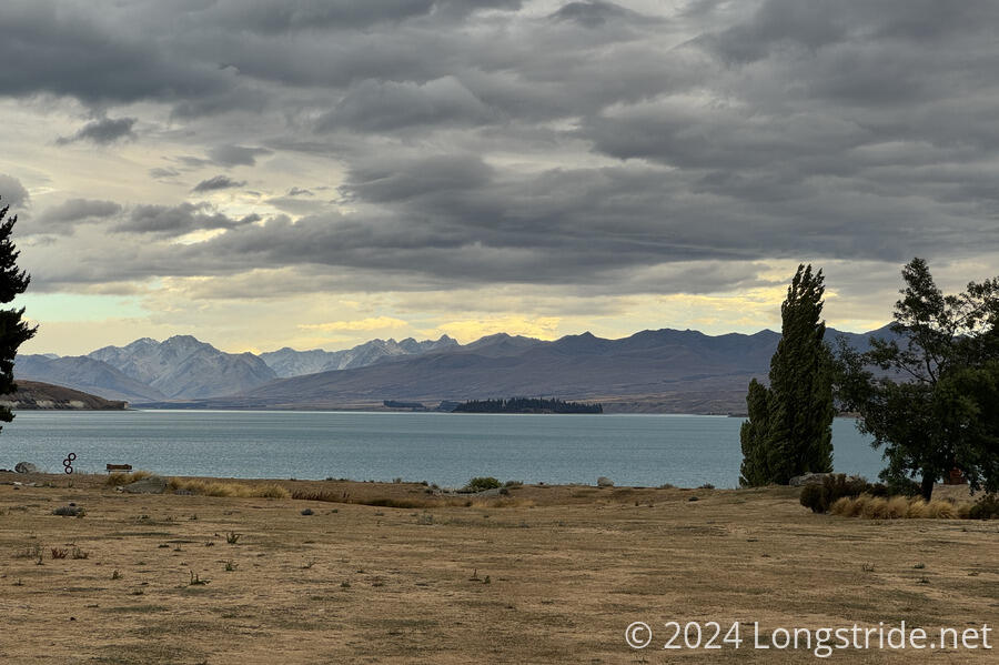
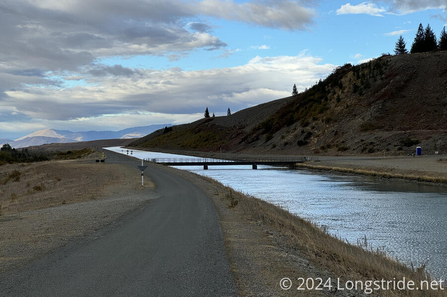
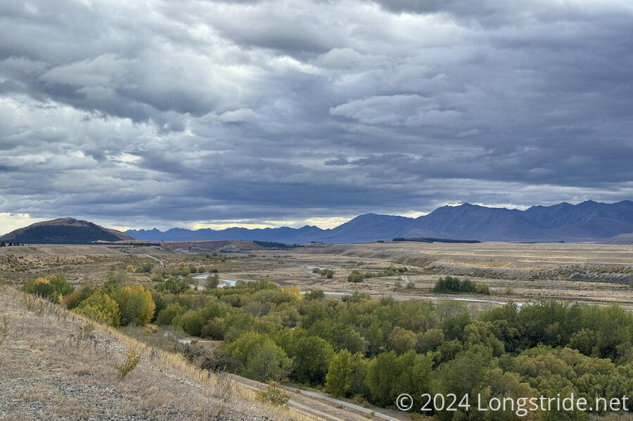
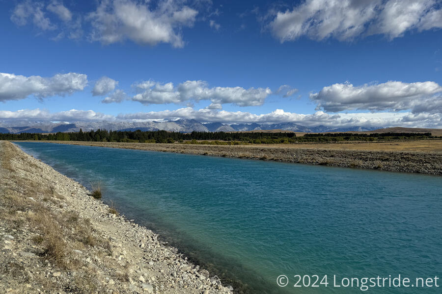
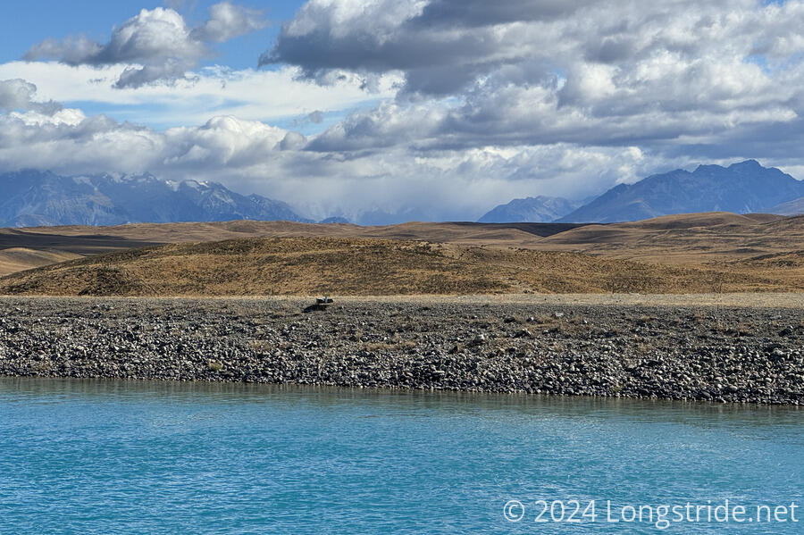
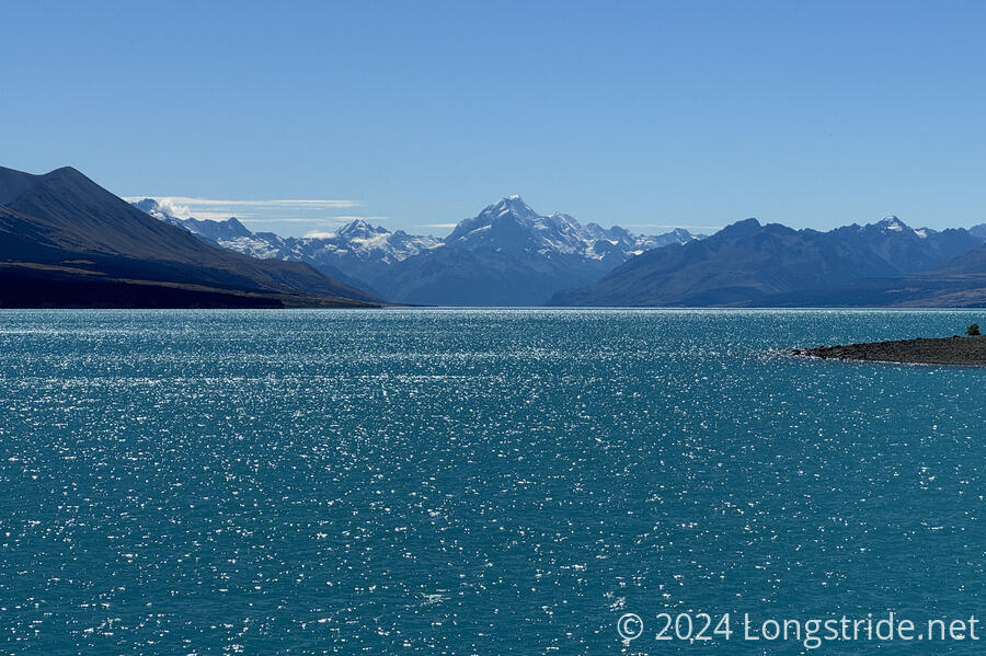
A long bike ride along the Alps 2 Ocean Cycle Trail took me past canals and stunning lakes on the way to Twizel.
Getting up a little later than I wanted, I had a fantastic pancake breakfast at The Greedy Cow, then returned to my room to finish packing. With my pack being shuttled to Twizel, I only needed to carry with me snacks for the day. I also brought a large bottle of soda (the Four Square had non-caffeinated Coke Zero, which was a nice treat), and my electronics and toiletries bags, just in case.
It was cool out this morning, and a little bit windy. Dark clouds brewed over the mountains to the east; I hoped it wasn’t going to rain (though the weather forecast looked fine).
From Lake Tekapo to Twizel, Te Araroa mostly follows the Alps 2 Ocean Cycle Trail, which starts at the base of Aoraki / Mount Cook (the tallest mountain in New Zealand), and travels to the Pacific Ocean. This is why a bike ride is feasible for today: the TA is actually on a bike path most of the day.
I left my pack in the hostel’s baggage room, and headed out shortly after 9 am. After quickly crossing the highway (with very little traffic on it this early in the day), I joined the A2O, following a neighborhood road to its end, and the paved road turned to a gravel path. This was a bit nerve-wracking, since this was initially quite a steep downhill, and for me, it was a delicate balancing act between keeping enough speed to not fall over, and going slow enough to not run off the trail. The gravel was also a complicating factor. But, I managed to survive that, and that was really the only slightly scary section of trail today. Good to get it out of the way early, I guess.
At the bottom of the hill, the trail passed a dam on the outflow from Lake Tekapo, and began following the Tekapo Canal.
The gravel track became paved, at least for a while, and in combination with the slight downhill, I picked up a good pace, managing over 20 km/hour for a few kilometers. (I don’t know what my top speed was, but there was one kilometer I did at 24.7 km/hr, which was my fastest for the day.) Then the gravel came back, and my pace dropped a bit, but it was still much faster than walking. I probably could have walked this section at around 5 km/hr, so being able to go more than twice as fast most of the time, and up to five times faster, it felt like I was flying.
Which was good, because the dark clouds to the east seemed to be getting more ominous, and a wind was picking up. This made the cycling much harder. It was a crosswind, so I was being blown to the side and had to constantly adjust for that. Which meant trying to stay in the middle of the cleared path on the cycle track was a lot harder than it would have been with no wind at all.
I saw both Masako and Mikkel in town before I left, and zoomed past them on that first stretch along the canal. They were the only TA hikers I saw today. I did see a few other cyclists throughout the day, usually a handful per hour.
In about an hour and fifteen minutes (including stopping for photos and a couple of tiny breaks), I crossed the highway again, and stopped for a break, having cycled just over 14 km.
This was hard work. My legs were using different muscles than hiking, I’m not used to sitting on a bike seat, and my arms and hands were quite sore from pushing into and (tightly!) gripping the handlebars. But an hour of cycling had gotten me a quarter of the way to Twizel, along a mostly very straight road following the canal.
If there was any section to cycle, it was this one. The scenery was nice — a lower valley to my left, and Mt. Cook (obscured by clouds) and the Southern Alps to my right — but it changed slowly, and cycling helped the scenery move along a bit faster.
The next stretch was probably the most memorable of the day. It started off with a “better” view of Aoraki / Mt. Cook, covered in clouds.
Then, the TA departed from the A2O, heading off onto a new (this year) trail through a farm. This trail was unsuitable for bikes, so I stayed on the A2O. Continuing along the canal, this took me past a salmon hatchery, built on several floating platforms on the canal. There were quite a few anglers out trying to catch fish.
Going around a bend, and now on a paved road, the road dropped quite steeply, towards a stunningly blue lake, Lake Pūkaki. This presented one of the downsides of cycling: if I’d been hiking, there were any number of incredible viewpoints I could have taken a picture from higher up. But zooming downhill, it was impractical to stop and take pictures. Any time I passed a good viewpoint, I’d be already past it further downhill, and I wasn’t going to backtrack and haul the bike uphill for a photo.
Once the road stopped its steep descent (and started going uphill a little), I stopped for a break on the side of the road, at a nice overlook to the lake.
Continuing along the road, the TA rejoined the A2O. Shortly after, the TA/A2O departed the road, joining a single track dirt and gravel cycle path following above the shore of Lake Pūkaki. This was perhaps the hardest section of the day, with the trail somewhat undulating up and down as it followed the lakeshore. Across the lake, I had a good view to Mt. Cook, which was gradually shedding the clouds that covered it. By the time I took a break at a car campground behind the toilets (for shade), the clouds had completely cleared from around the mountain.
Crossing the highway again, the TA/A2O followed a dirt track most of the rest of the way to Twizel, through the Pukaki Flats, a mostly flat tussock expanse, though there were a couple of short but steep hills that I had to walk my bike up because I ran out of steam trying to pedal uphill. This was a bit rugged, and a little challenging, compared to the gravel paths earlier, but it wasn’t unmanageable.
Crossing the highway one final time, now on the outskirts of Twizel, I departed the A2O to head to the Twizel Holiday Park, a short distance (by bike) off-trail. I arrived to find my pack sitting on the porch outside of reception. Now 3 pm, I’d cycled 55 km in just under six hours. Not bad for the longest bike ride I’ve ever done.
After checking in, I got a shower, and pondered what to do about tomorrow. Another 37 km to Lake Ōhau Lodge would be a very easy day of cycling, compared to today, but it’d take all of tomorrow to walk there. So, despite initially not planning on cycling further than Twizel, I decided to continue cycling for another day.
This had the benefit of also not requiring me to carry my entire food resupply for the next section from here. It might be relatively flat to Lake Ōhau, but six days of food is tiring to carry, no matter how agreeable the trail is.
As I was getting ready to get dinner and do my resupply run, I noticed that the tip of one of my trekking poles had fallen off in transit from Lake Tekapo. When I arranged for tomorrow’s cycle trip, I also asked the bike rental company to check their transport vehicle to see if they could find it. I also arranged with CareFree to possibly send me a new pole tip to Wānaka, my next resupply stop. Unfortunately, this wouldn’t include the basket to help keep the pole from sinking arbitrarily deep into very soft ground (or through gaps in rocks), but that was of less concern than not having pole tips at all.
I saw a few other hikers in Twizel: Matt and Leonie (from when we crossed the Rangitata), and Macro (from Arthurs Pass). The holiday park was otherwise filled with car campers and RVs.
From the cycling, my right hand felt a bit numb and weak, probably because I spent hours tightly gripping the handlebar. Hopefully, that’ll just be a temporary thing.
