Our trek through the forest continued, bringing us to the next stage of the Great South West Walk: the Glenelg River.
Rain started overnight, and continued through morning. It was difficult to tell how hard it was raining, but I suspect not very hard. The forest looked properly damp in the morning, but we didn’t see any puddles.
We’d set an alarm for 6 am, but the rain kept us in our sleeping bags at least another hour, and once we did get out of the tent, we weren’t especially quick about leaving while it was still lightly drizzling. Again having the campsite to ourselves, we pitched the tent mostly under the shelter’s roof, so only a small part was wet, making it much easier (and lighter) to pack.
We finally left camp shortly after 9, the skies still overcast. What new Australian animals would we see today? We hoped not leeches, because the forest was now much damper than it was.
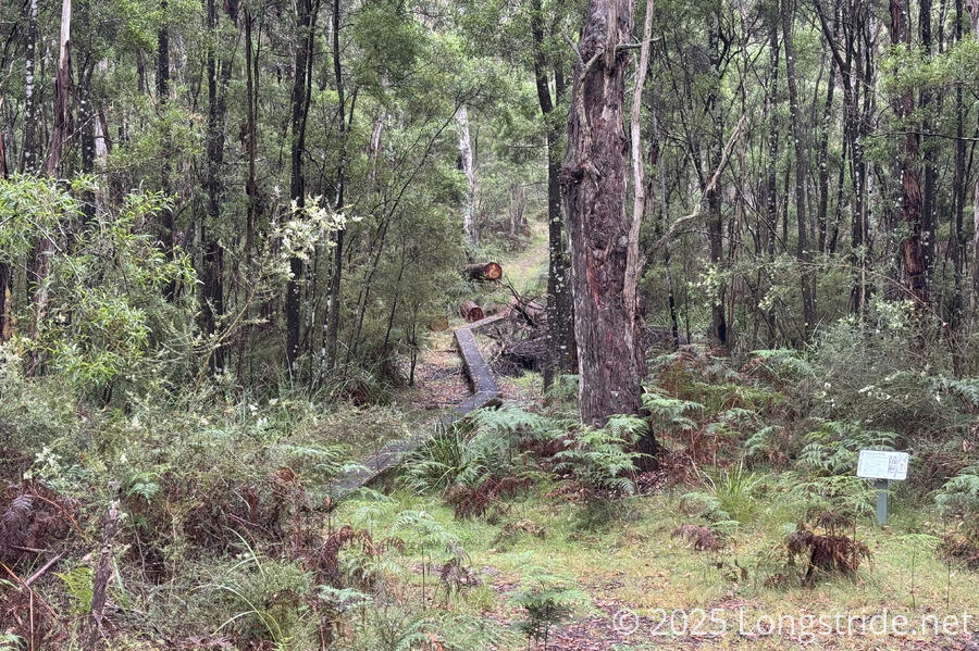
The camp is named after the Fitzroy River, which we soon reached. A bright yellow sign at camp warned that the river could flood over its bridge after prolonged rain, though our guidebook claimed the river is usually dry and only rarely floods above the bridge. This indeed was the case. The river was completely dry.
Shortly after the bridge, we saw two wallabies, but didn’t see much else for the rest of the day. Given the rain and overcast skies, the birds were quieter than usual.
CareFree pointed out that the damp forest and gloomy atmosphere felt a little bit like New Zealand. Aside from the trees being all wrong, I think it did have that feeling.
After a couple of hours, the clouds started to clear, revealing a bit of blue sky, and a nice breeze blew in. The forest started to dry out from the rain.
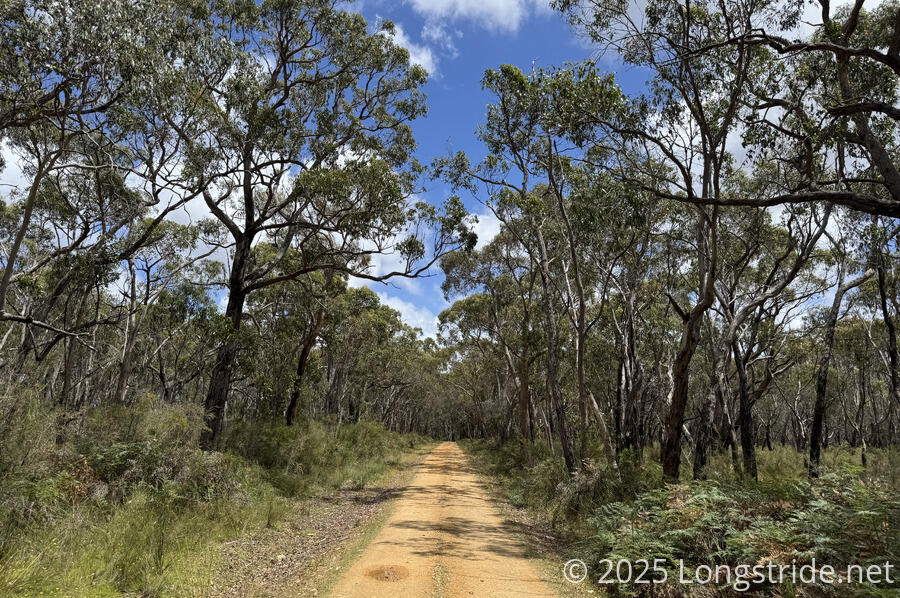
Coincident with this was the trail becoming more sandy, as we gradually approached the Glenelg River (which no doubt helped the water drain away faster). The forest, already short, continued to shrink in height. Our boots, which were slightly damp from the ground cover, began drying out, much quicker than I would have expected. After noon, a stronger breeze whipped up, which helped clear away a bit of the humidity.
We continued to see numerous “anthills” along the trail, but we are less sure that is what they are now, since we really haven’t seen ants scurrying into or out of any of them. I broke into one with my poles, and there wasn’t any sign of an any colony. So they probably belong to some other insect, or maybe spiders.
The trail has not been especially challenging — it’s generally be wide, free of obstacles, and almost flat. Still, it’s been rather hard on our feet. Particularly today, mine, especially my left foot, have been hurting. The easy trail means we can go pretty fast, which (especially when carrying packs) is still hard on my feet.
The trail eventually left the forest, following a firebreak between the forest and an electric fence around a farm. (The fence’s efficacy was in question: there were several ruts dug between the fence poles so that animals could cross.) After zig-zagging along the perimeter a bit, the view opened up to the Glenelg River valley in the distance. We couldn’t see the river, but the valley was quite clear. The view was almost epic, at least as much as it could be, given we were only 100 meters above sea level, and had been in a forest with no particular views for three days.
Shortly after re-entering the forest, I apparently stepped clear over a (venomous) tiger snake. (Oops!) I didn’t see it at all, and CareFree was following closely enough that she only saw it once it started coiling up after I passed it. Fortunately, nothing happened.
A little while later, we saw a dead wallaby next to the trail. We might have stopped to look at it for longer, were it not for the massive swarm of flies around it.
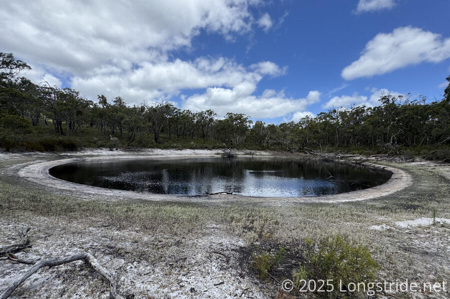
Rejoining Inkpot Road, the trail took us to “The Inkpot”, an inky-black pool of water, thought to be formed by either an underground cave collapse or the erosion of the underlying limestone rock by water. We started to stop for a break by its shore, but thought better of sitting in direct sunlight, and retreated back to a shaded area along the road.
As we neared our campsite, we first passed a bridge over its eponymous Moleside Creek and walked through a small picnic area with a short spur to a waterfall on the creek.
A short while later, we passed the Moleside Canoe Camp, also used for drive-in campers. One such camper was already there, taking a nap in the bed in the back of his SUV. We skipped going down to the dock in favor of checking out our campsite first, up a short hill.
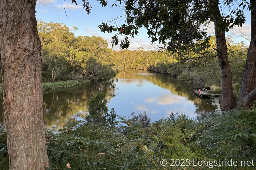
This gave us our first view of the Glenelg River (known to the indigenous population as Bocara), a slow, brackish, meandering river.
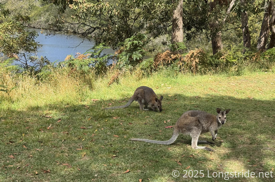
After relaxing for a bit, we attempted to set up our tent, but were distracted by a pair of wallabies who’d come out of the bush to graze on the lawn in front of the shelter. Clearly used to humans, they were surprisingly chill, and let us get entirely too close to them to take photos.
While setting up the tent, we thought we could see a platypus in the river, so after we were done, we went down to the boat dock for a while to try and see more. We didn’t, and later, after reviewing the video we took, decided that we’d probably seen some sort of water bird and not a platypus.
As has been consistent the past few days, right around 7 pm, it starts to get noticeably cooler. With the heat wave (at least temporarily) over, by then it was almost a little cold out.
As the sun set, CareFree heard the grunting sounds of a kola mating call, but we couldn’t see any in the trees near our campsite.
Tomorrow will be a long day, over 30 km, to Patersons Camp, setting us up for a “short” 20 km day into Nelson the day after for some rest and resupply.
