A day mostly along roads, with a side excursion to the Waitangi Treaty Grounds, brought us to Paihia, the next stop on our trek south.
We tried to sleep in a little, which was possible because we didn’t have to deal with taking down a tent this morning, but we still had to get up early enough to be ready to go when Diane was ready.
Now that I once again have dried-out boots and clean, dry socks, my feet felt much more comfortable in my boots. (It also helped that we didn’t resupply yesterday, so I wasn’t burdened by more food.)
Diane dropped us off at the car park we left the trail at, and CareFree and I continued across the Kerikeri river on a footbridge.
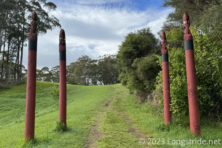
We passed through the entrance to Kororipo Pā, a Māori defensive fortification that had had been replaced by a kāinga (a village) in the early 1800s because the local tribe had become powerful enough they no longer needed to defend this place.
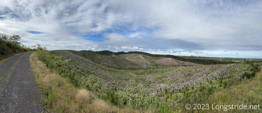
After winding through southeastern Kerikeri on roads for an hour, we entered the Waitangi Forest. Unlike the impressive Raetea and Puketī Forests, this one was extensively logged; with bare hillsides, or hills with freshly-planted pine trees for later harvesting. It was a little sad to see what was probably once a great forest reduced to this, and it reminded us about the plantation forests near CareFree’s home in Germany.
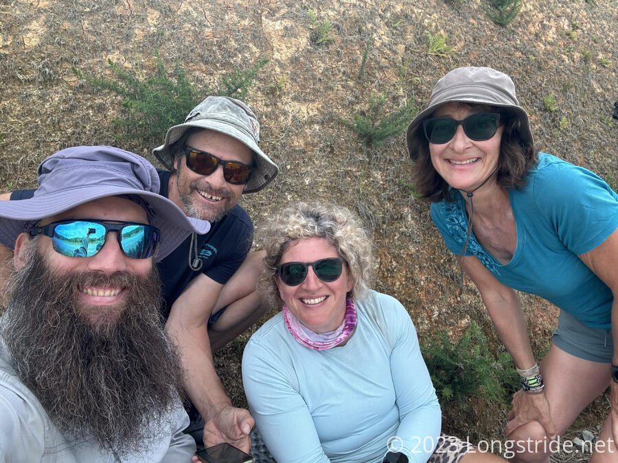
We met up with Susanna and Peter while we stopped for a break, and worked out with them a plan to reach Ngunguru in a few days. (We had a tentative plan before, but we were missing one campsite that we’d failed to noticed in the various trail notes. The next section especially is complicated, and there’s too many disparate sources of info that need to be combined into a coherent plan.)
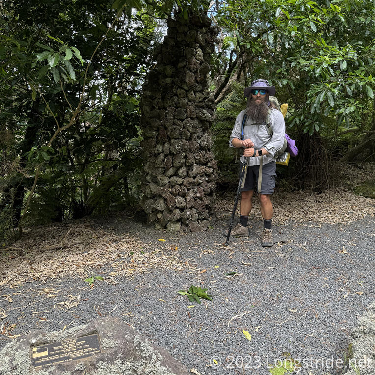
We also passed a monument to the opening of Te Araroa, a large rock cairn and a small plaque commemorating the event.
Out next stop was a slightly off-trail viewpoint at Mt. Bledisloe, overlooking the Bay of Islands. From here, we could see our destination this evening, Paihia.
From the overlook, we continued on dirt roads until we reached a golf course.
After walking along a paved road through the golf course, we reached Waitangi, the site of the Treaty of Waitangi, an agreement between the British Crown and Māori which gave the Māori the rights of British citizens, and allowed them to continue to self-govern, in exchange for the Crown becoming sovereign and providing protection (mainly from the French, which the Māori were concerned about). Being a significant part of New Zealand history, we decided to visit the museum at the site.
There are two museums in the complex; we visited the first, a history of the events leading to the Treaty. Our visit there was cut short by our joining a guided tour of the grounds, to the house where the treaty was first signed. The museum was excellent; the tour a little less so. Our tour guide seemed quite knowledgeable, but the group moved very slowly, and because I hadn’t changed out of my boots, it was uncomfortable to simply stand around. The tour was stretched long enough to end shortly before a cultural performance at the Māori marae (meeting house) built next to the treaty house as a gesture of friendship. The performance was quite good, and involved a musical performance, with signing and dancing, and a weapons demonstration, all under the guise of our visiting “tribe” of tourists being welcomed by the local tribe.
A significant problem with the Treaty of Waitangi was that its two different languages — English and Māori — have slightly different content, owing to the (historical) Māori language not having the same concepts of sovereignty as English. This difference of understanding between the two versions led to many disagreements (and wars), and were not significantly resolved (or rather, improved on) until new settlements in the 1990s.
A short walk from Waitangi towards Paihia brought us to the Waitangi Holiday Park, where we got a cabin for the evening.
Our initial plan for tomorrow was to kayak from Paihia to Waikare, roughly 15 km. However, we’d been told secondhand that the place renting kayaks was closed today. So instead, we shifted to taking a ferry from Paihia to Russel, just across the bay, and then road walking the distance. (Kayaking would also require a late start, to coincide with high tide coming in.)
After relaxing a bit, we walked to the nearby food store. Rather than buying food in town, we got material to make sandwiches, which saved us a little money. We also got a small bottle of wine as a treat, which nicely complemented our dinner, on the picnic table in front of our cabin, in front of the Bay of Islands reflecting the clouds lit in reds and purples by the setting sun.
We got food for three days, to get us to our next resupply in Ngunguru in four days.
With a longer day — nearly 30 km — planned for tomorrow, we decided to aim for the 7:20 ferry to Russell in the morning, which will give us plenty of time to get to our destination without having to rush too much.


