A long walk through Auckland, New Zealand’s largest city, gave both urban and natural landscapes, as we made our way from the Central Business District to the airport.
We planned for a long, but easy, day today: by taking advantage of Auckland’s bus system, we planned to hike over 30 km through Auckland, ending at the airport, and then coming back home for the evening. (And then doing this again tomorrow to go as far south as the bus system reaches.)
Being at home has its challenges, though, and getting an early start is one of them. We didn’t leave the apartment until almost 10 am.
Like yesterday, it was warm, bright, and sunny, a great day for being outside.
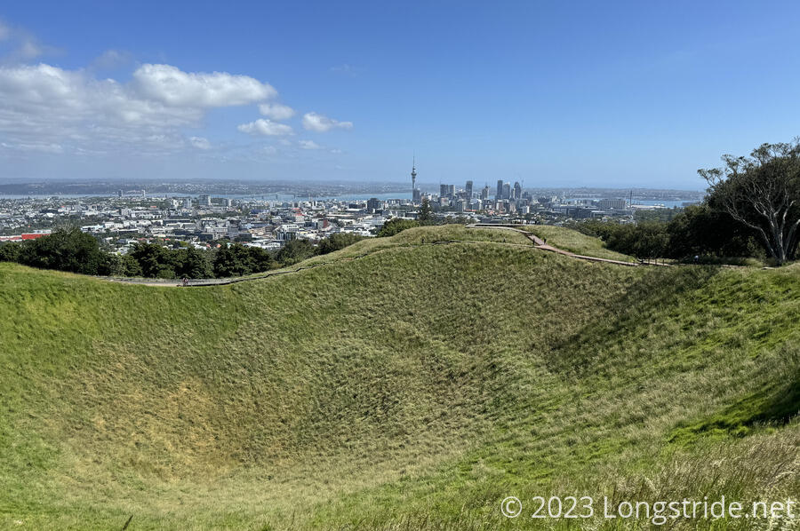
About fifteen minutes along city streets brought us to Mount Eden Domain, which contains Maungawhau / Mount Eden. At 196 m, it is the tallest volcano in the Auckland volcanic field and the highest point in Auckland. Mount Eden is fairly prominent, and can be readily seen from much of the city. Uncharacteristically, the TA went out of its way to go to its summit, which gave fantastic views of the city. The volcano also has an impressive grassy caldera 50 meters deep.
Like yesterday’s excursion through the Auckland Domain, the trail today went through another cricket field in Melville Park, named after a pioneering feminist in the early 1900s. Unlike yesterday, this cricket field actually was in use, and though we tried to stay wide of the game, we accidentally walked through the edge of the marked field.
In Auckland, the TA runs over the Coast to Coast Walkway, a walking path connecting Waitemata and Manukau Harbours, so it’s fairly well-signed. Still, we managed to miss a turn, and missed going through a park. That did give us the opportunity to stop at a grocery store for ice cream, though.
We reconnected with the TA in Cornwall Park, which was quite busy with people exercising and having picnics on a beautiful Saturday afternoon.
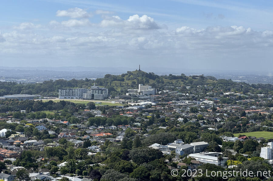
Cornwall Park is adjacent to Maungakiekie / One Tree Hill, another volcano in the Auckland volcanic field, so-named by the British because (at the time) it had a solitary tree on its summit. Now, it has a tall obelisk, built in 1940, originally intended as “memorial” to the Māori, who were expected (by European New Zealanders of the era) to gradually die out. (This obviously did not happen by the time the monument was finished, and a seemingly more fitting suggestion that the monument be dedicated to the centennial of the Treaty of Waitangi appears not to have been accepted.)
We had summited One Tree Hill back in April, so we opted not to go out of our way to climb to the top today.
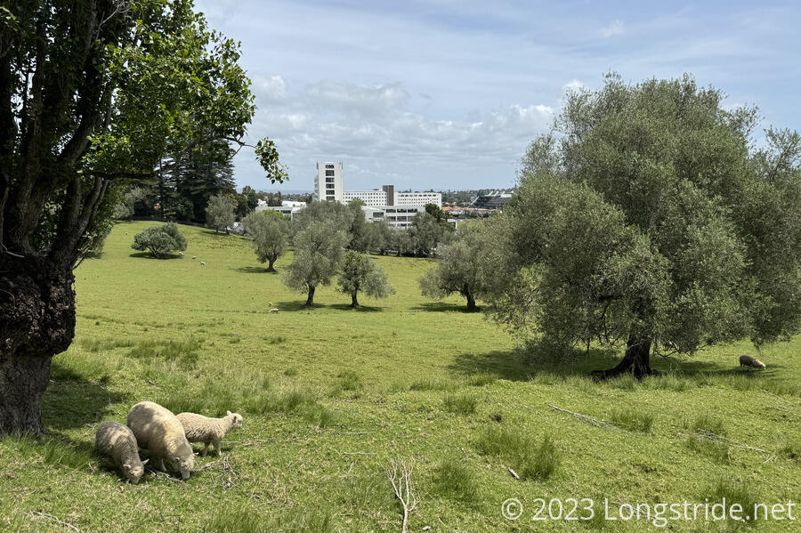
On our way out of One Tree Hill Domain, we passed by a small herd of grazing sheep. It seems weird to have sheep in a pasture in the middle of a city, but, that’s Auckland for you.
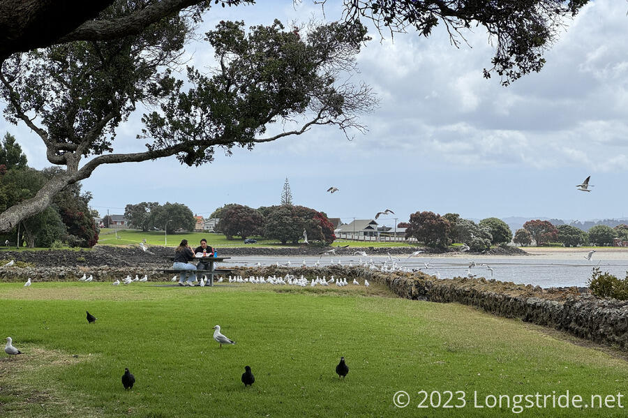
From One Tree Hill Domain, we continued south through the city, reaching Manukau Harbour. Joining a cycle track there, we crossed the harbor on a bridge, taking us into the Māngere Bridge neighborhood, named after the volcano Māngere. We picked up some food at a nearby gas station and cafe, and returned to a picnic area on the harbor to eat.
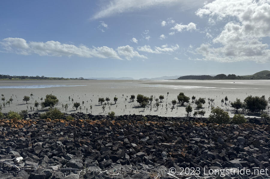
Leaving the picnic area on a wide walking path, the Kiwi Esplanade, we toured Manukau Harbour. This led us to Ambury Park, and the Ambury Foreshore Walk, which continued on the coast for a while before turning inland. Especially now that it was low tide, we could easily see the result of ancient lava flows from Māngere.
On our way out of the park, we passed some more sheep, including two that had managed to get out of their pen, and were wandering the dirt road we were on. We “chased” them for a few hundred meters before they reached an intersection, turning right where we needed to go left.
That brought us to the Watercare Coastal Walkway, on the property of Watercare, Auckland’s water and sewage treatment provider. Unfortunately, due to a gigantic sewage construction project, the trail along the waterfront was closed for about a kilometer, resulting in a 2.5 km detour. Once we were back on the trail, we passed a large man-made pond next to the harbor that was home to hundreds of ducks and swans.
Further, along the coast, we got one last look at the harbor with a view to its entrance from the Pacific Ocean, before turning inland.
The last park we passed through today was the Ōtuataua Stonefields Historic Reserve, which protects a landscape rich with historical artifacts, rare plants, and two volcanoes. On our way out, back to roads, we passed a curious sight. Two Māori, sitting in a large wooden rectangular area on the Māori land adjacent to the road, with two dogs, and a smoldering fire in the center of the rectangle. It almost appeared they were guarding the area. Turning onto the road, a pair of guard houses flanking the road seemed to block access. A large sign read “Not One More Acre”, the continuation of a 1975 protest concerning the loss of Māori land. We had no problems getting through — no one stopped or talked to us — but it certainly left an impression of people who were serious about stemming the loss of their ancestral land.
Another 45 minutes on roads brought us near the airport, and we took a detour to go to the food store to get food for dinner and tomorrow’s hike. This was conveniently located near a bus stop. We missed our bus by a minute, but caught the next bus, and a little more than an hour later, we were back home.
Today was a nice variety, going through several very different parks, and showing us a different slice of the city than we’d seen yesterday. Where north Auckland and place in or near the CBD were all very nice (and obviously expensive), as we got further south, the homes and businesses lost that upper-class shine and gradually became more muted and subdued. It’ll be interesting to see what happens to the city as we hike south of the airport tomorrow.
