Today was our second day on the Whanganui River, a long 44km stretch that gave us more interesting rapids than yesterday.
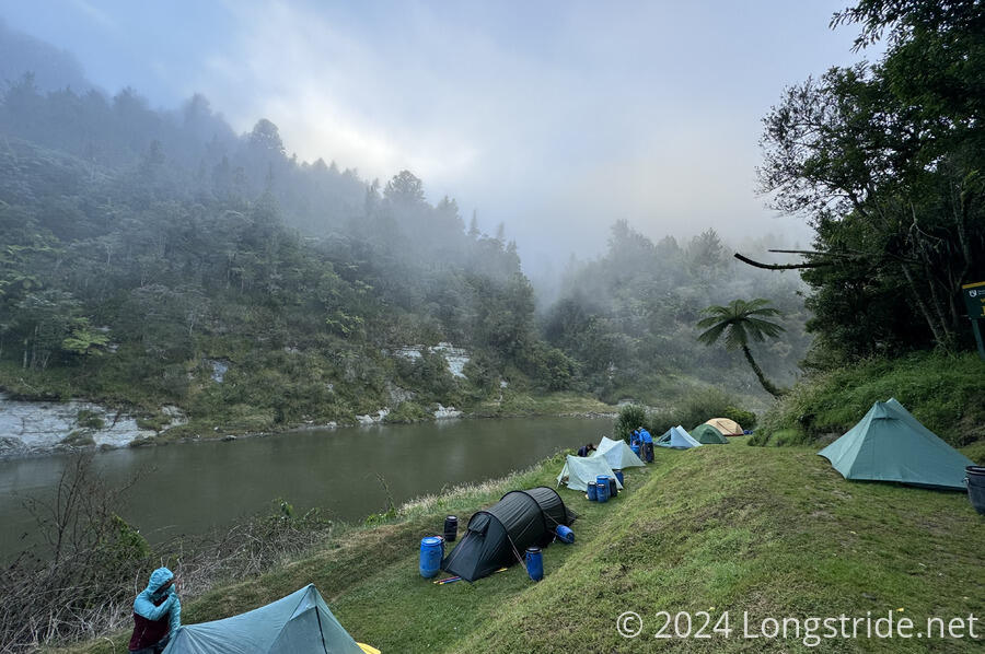
Like yesterday, the day started off with fog over the river that gradually lifted as the morning progressed. By the time we had the boat packed and set off, the fog had lifted.
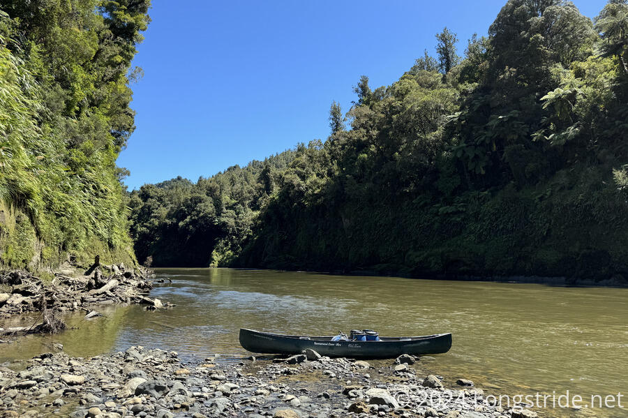
Getting the boat packed was the hard part of the morning. Lugging the barrels down to the landing and getting them into the boat was not easy, but we had help, like we did last night, and the barrels with food were at least a little bit lighter than they were yesterday.
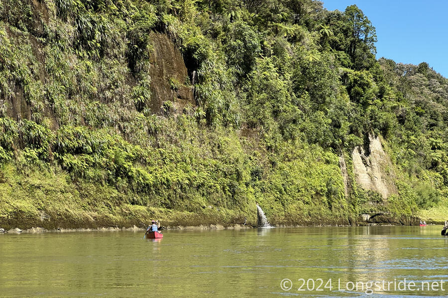
The river and scenery was mostly the same as it was yesterday; there really isn’t much to write about that.
The river seemed a little lower than it had been yesterday, but it was a little hard to tell. Especially in or near rapids, we were moving along quite quickly, often over 10 km/hour. In calmer stretches, we were going slower, but still comparable to a fast walking pace.
A bit after noon, we passed Mangapurua Landing. From Whakahoro, the official TA follows a cycling path to here, but then the trail ends. The official trail beyond Mangapurua Landing to Pipiriki is via the river. (Of course, there’s no service to get a canoe to the landing, so in practice, if one wants a continuous self-powered path along the trail, that means taking the alternate we did, the river from Whakahoro.)
Mangapurua Landing is also the trailhead to the Bridge to Nowhere, a bridge that was constructed in the 1930s for a community near the landing that ceased to exist by the time the bridge was completed, and the area was never really repopulated. Today, the landing serves as a way for tourists to see the bridge by getting dropped off by a jet-boat, and hiking about 45 minutes north. (The TA from Whakahoro goes over the bridge.)
CareFree had been there in 2018, and wasn’t interested in hiking out to the bridge and back: it’d be an hour and a half round trip detour when we still had a long day of paddling ahead of us. (Plus we’d already been to a Tunnel to Nowhere, on the Benton MacKaye Trail.)
Canoeing today was a lot easier than it was yesterday, in that we had better figured out how to work as a team to control the boat. There were fewer rapids than yesterday, but they were more interesting, and made us work a little harder. That was good: the main event tomorrow is the “50/50” rapid, so-named because there’s (supposedly) about a 50-50 chance of capsizing. But the river is still running a little higher than usual, so I expect it’s not going to be as bad as the averages say.
We stopped for two snack breaks, and then an unexpected third break to dip in the river for a little swim when Miriam waved us over from a small beach. (Tabea was also there, as were a Canadian couple, Melanie and Oliver.) I made the mistake of taking my boots off, which made my feet very unhappy because of the rocky river bed.
It took us about eight hours (including breaks) to paddle 44.6 km downstream, our furthest day so far, and which is far faster than we could manage by walking.
Our campsite tonight, Ngaporo, doesn’t have a hut; it’s just several areas to pitch tents. Getting the barrels out of the canoe and up to the campsite was a bit harder than yesterday; the campsite was a bit further uphill from the boat landing.
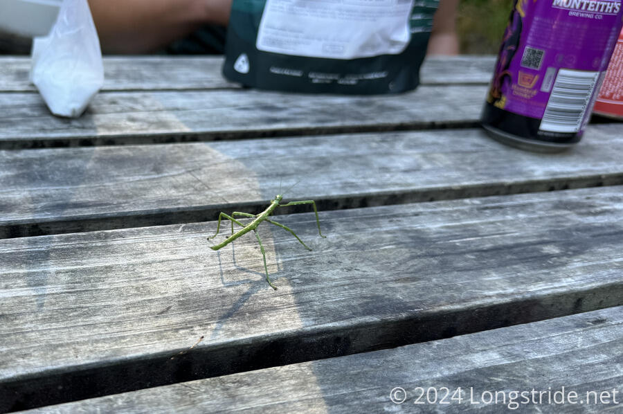
We had dinner again with Miriam and Tabea. While I was cooking my food, a walking stick climbed my fuel can, and tried to climb up my stove. It didn’t particularly like that the stove was on, and jumped off onto the table, walked over to Tabea’s stove, and tried to do the same thing. After it jumped off again, it wandered towards Miriam, who lured it onto a wrapper from dinner, which she used to transport it to the forest.
There were no clouds at all today, so the sun was bright and hot. Tired after a long day of rowing in the sun, we turned in to our tent a little earlier than usual.
From all of the rowing, I probably have two blisters on my hands under my ring fingers. That’ll probably make it a little harder to row tomorrow, but, I’ll manage somehow.


