A short day brought me into Havelock, where I prepared for the long stretch through the Richmond Range.
I was a bit lazy this morning getting up, on account I only had 16 km to hike to Havelock.
My tent was surprisingly dry, given all the rain from yesterday, and that it was a bit cool overnight. (I was glad I slept in my fleece and wool baselayer pants.) Unsurprisingly, my ground sheet was quite wet, but, better it than the tent. It might be the wrong size, but it’s still doing its job.
There was a picnic table next to where I’d set up last night, which made breakfast and taking down the tent and repacking go faster than they otherwise would have. While I was packing up, with bright sun out, it rained for a few minutes. Thankfully, my campsite was nearly entirely under tree cover, so nothing got wet.
I left around 8:30, continuing along the pathway adjacent to the road. At a bridge, where the pathway temporarily shunted onto the road and a sign urged “extreme care”, I finally got a name for the trail: the Link Pathway, which connects Picton to Havelock (with a spur to Anakiwa).
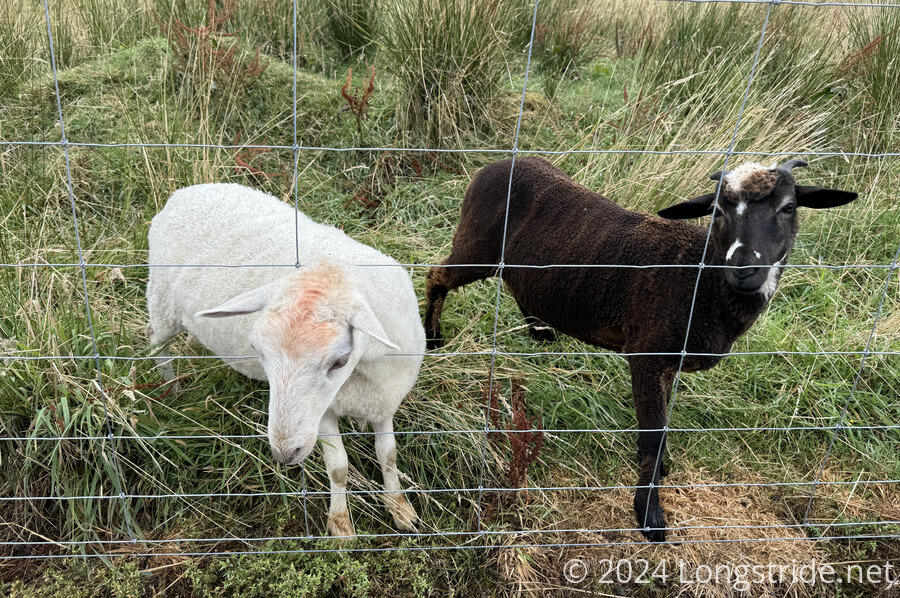
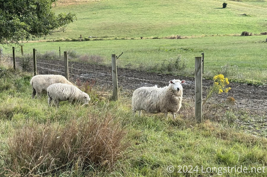
The Link Pathway stayed immediately next to the road for about 4 km, occasionally veering off around some bends. Initially, the road (and trail) went alongside farms (goat, sheep, and cows). Further on, the farms were replaced with the Mahakipawa Arm of Pelorus Sound, and the trail more often veered away from the road. I passed a few people out walking their dogs on the trail, but I saw way more farm animals than people all morning.
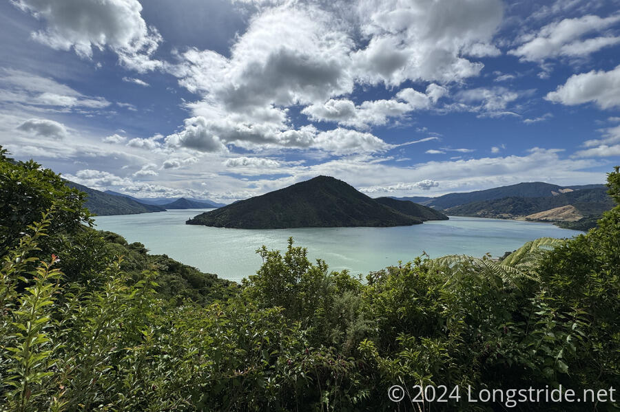
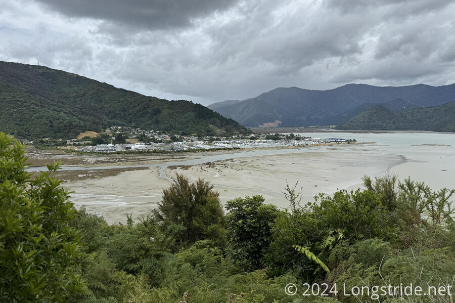
The Link Pathway eventually left the road, climbing up along and around a hill. I stopped for a break at a picnic table with a view, about halfway through the day. I had a good view of both Pelorus Sound and its Mahakipawa Arm.
This section of the Link Pathway was quite well-constructed and maintained. Most of it was double-track, and quite easy to follow. I made great time.
When I started, it was sunny out. But as morning progressed, it became progressively more cloudy. A very light drizzle fell on occasion, but fortunately, nothing significant.
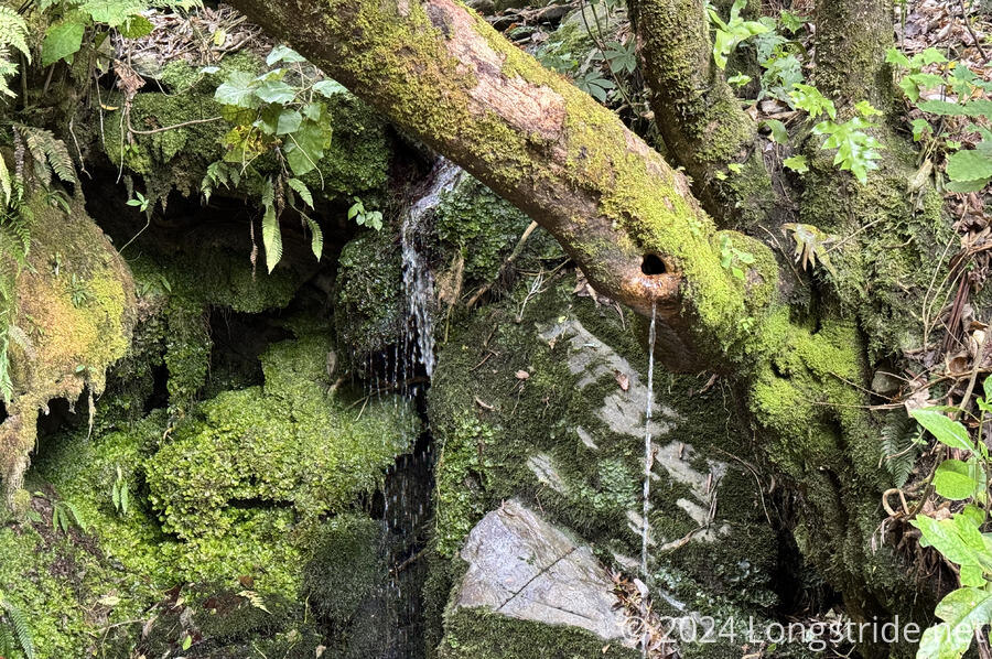
The forest felt rather bland for the most part, but I did pass two small creeks with waterfalls, one of which had some of its water flowing through a hole in a dead tree branch.
Near the end of the pathway, I got a view of Havelock, nestled at the mouth of the Pelorus River and the head of the Pelorus Sound. Leaving town tomorrow will take me (roughly) upstream along the Pelorus River.
I departed the Link Pathway just before its actual end, taking a side trail into Havelock. I checked into my lodging at Blue Moon Backpackers, and decided my first order of business was to get lunch. I got a cheeseburger at the restaurant in the Havelock Hotel, which was surprisingly mediocre.
Back at the hostel, I got a shower, did my inventory, and then went to the Four Square to bring me up to nine days of food for the combination of the Pelorus River segment and the Richmond Range. It should take me nine days to reach St. Arnaud, the next resupply opportunity, which gives me a day’s worth of leeway (expecting that I get breakfast in town tomorrow and lunch or dinner in St. Arnaud). The weather forecast currently looks to be great, with only one day towards the end of that stretch that might have bad weather.
Not wanting a complete repeat of lunch, I went to another restaurant, the Mussel Pot (Havelock calls itself the green shell mussel capital of the world) and got a burger there. (Despite being a seafood restaurant, the burger was actually quite good.) I splurged and got desert, cheesecake, which was fantastic.
A light drizzle when I left the restaurant turned into full-on rain for about ten minutes once I returned to the hostel. After that, I relaxed.
Tomorrow is going to be a bit rough, with a 20 km roadwalk (easy) with an awful lot of food (not easy). But, I’ve carried heavier packs than this, so it should be fine.
