For breakfast, Jess made eggs for everyone that was there. I also had juice and hot chocolate (which was pretty awesome, since it was a bit cool this morning). She dropped me off at the trailhead at just after 8, and I got started on a 20.6 mile slackpack to Main Rd in Tyringham.
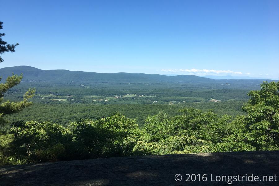
It was cooler today than yesterday (a blessing), though there was a bit less of a breeze, and it was a little more humid. The trail started out mostly flat, as easy of a start as yesterday's end. Quickly, though, the trail turned slightly more rugged as it climbed June Mountain. Aside from the hills, though, the trail was pretty nice.
I stopped at the Tom Leonard Shelter after 6.4 miles for my first break. I almost forgot my water bottle there; fortunately, I realized I was missing it when I finished walking back to the AT from the side trail to the shelter, so I didn't have far to go to retrieve it.
On the way to the next shelter, Mt. Wilcox South, 5.3 miles ahead, I passed a place on the trail called "The Ledges". Called out in the guidebook (with no details), and then shown on a sign at the bottom of the hill leading to it, The Ledges seemed to take on a bit of an ominous quality. In actuality, though, it seemed like it was just a series of rock steps, and if it hadn't been named in the guidebook and on a sign, you'd probably have never noticed that there was anything interesting about that section of trail.
Mt. Wilcox has a shelter on its north face (which I didn't stop at), and two shelters on its south face: an older shelter which I stopped at, and a newer one further down the side trail, which I didn't take a look at. In a nice touch, the log book had a pencil with a sleeve of about 20 different colored leads, so people had taken to writing entries in different colors, or even drawing color pictures in the logbook; some were quite nice. I tried texting Jess to let her know where I was and with an ETA for my arrival at the end of my hike so she could know when to leave to pick me up, but I didn't have signal, a rarity these days.
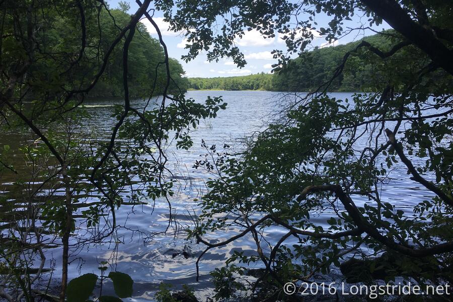
Up to the shelter, the light ruggedness of the trail was not really making my slackpack go faster than a full-pack hike (though it was certainly easier on my legs). After the shelter, though, the trail became a lot nicer, especially as it entered the Tyringham Cobble park. I wound up making such good time that I kept on going past where I had planned to stop for my third break, and instead stopped about 1.6 miles south of where I was supposed to get picked up. Fortunately, this time I had signal, and was able to arrange my pickup.
I reached Tyringham's Main Rd. about 35 minutes later, getting there just after Jess. There was also trail magic, provided by a thru-hiker named Kid and his aunt. They all but forced a Gatorade on me; I wasn't going to take anything at all since I had been slackpacking and was imminently on my way back to the hostel. On the ride back to the hostel, we saw a smallish bear on the side of the road.
I happened to notice that Jess had a scale, so I weighed myself, and found that my weight continues to appear steady; I'm down only about 6-7 pounds from where I was when I started my hike.
I ordered pizza for dinner, and while I was eating, reworked my plan for the next few days. Instead of doing a resupply here, I'll be using the rest of the food I have and getting food and snacks as I go through the towns ahead (Dalton and Cheshire), so I can keep my pack weight down and not have to do a full resupply until I reach North Adams, the last trail town in Massachusetts. That day's going to wind up being a short day, and I'm still a bit unclear what I'm going to do that day after resupplying. I've got a few days to figure that out, though.
Tomorrow: tenting at the "Cookie Lady"'s farm.