I got up today at 6:30, ready for the 7 am pancake breakfast. Consisting of 12 pancakes with three different kinds of fruit and covered with powdered sugar, and also including an egg and sausage, it was excellent.
While eating, and then for a while after, I chatted with Old Buzzard, who thru-hiked in 2008. He lives in Maine, and, after noting the lack of trail magic in Maine, has been organizing increasingly elaborate trail magic for the last few years.
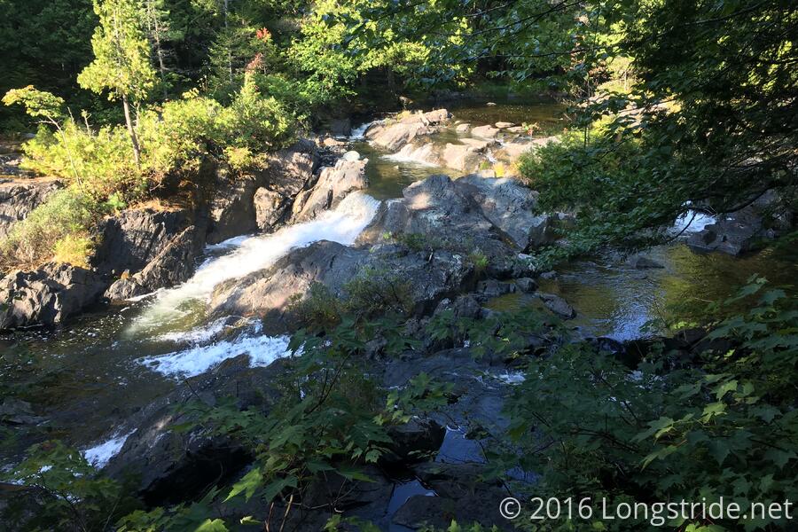
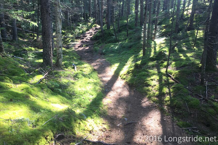
I wound up not leaving until almost 8:30. The trail was similar to yesterday: no big rocks to climb, and rarely anything steep, but lots of rocks and roots to avoid. On the way to the Kennebec, the trail followed the Pierce Pond Stream, which had several waterfalls.
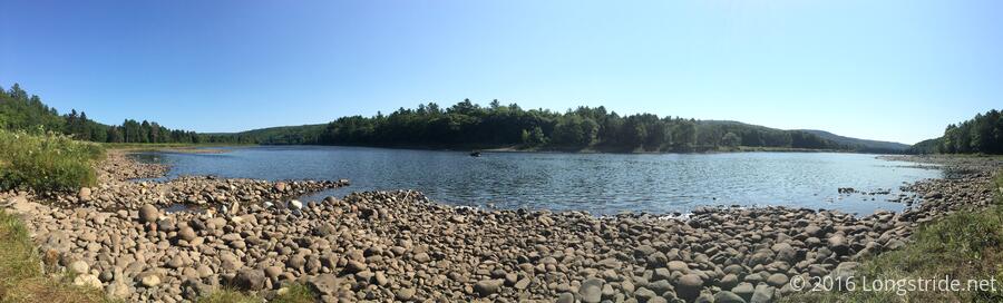
At 10:15, I reached the Kennebec River. The Kennebec is the only river on the AT where the official means of crossing is by ferry. A dam upstream releases water without warning, and the water level can rise 2-4 feet very quickly.
I only had a short wait for the ferry; two hikers who got there right before me were in the process of getting on the ferry, which only takes a few minutes to cross the river.
Across the river is Caratunk, the penultimate trail town before reaching Katahdin. A tiny town (a sign says population 63), I didn't have a particularly good reason to stay. But, hearing that there were good burgers and milkshakes at the Caratunk B&B, I took the short detour there to get some (early) lunch.
The burger and milkshake were excellent, and I also got a soda and an apple. My plan for today only involved going to the next shelter, another six miles ahead (I was unclear how long the ferry would take; there could easily have been a significant wait), so I took the opportunity to hang out, taking advantage of their wifi and chatting with owner. The owner, whose name I forgot to ask, hiked the AT in 1990 and 1992, and the PCT in 1994. Today was a slow day; I was only the second hiker today to stop by, and no one had yet booked a room for the night. This is in contrast with Friday, which apparently set a record for ferry crossings, and he had way more people than he could put up in his house.
The trail north of Caratunk was a nice, gradual uphill, and while it was a bit easier that this morning, it was still full of rocks and roots.
About a mile short of my destination, the Pleasant Pond Lean-to, a note on the ground warned of a hornets nest ahead on the trail. Sure enough, there was a large nest, I'd guess about the size of a basketball, sitting in the middle of the trail. There was no real other choice but to go off-trail and detour around. On the other side, someone had actually put a branch across the trail (such that you'd have to duck under or weave around) in addition to two warning notes.
I made it to the shelter, Pleasant Pond Lean-to, around 3 pm. While I could have easily continued hiking further, the next shelter is another nine miles ahead, and that's too far to go for that time of day. The shelter is old, and a little small, and the floor is not level. I was strongly considering tenting, but really didn't want to have to deal with a tent in the morning.
I collected and filtered water (for the first time since Mt. Greylock!), cooked my dinner, and talked with Dave, a section hiker currently hiking from Katahdin through the Whites; and another NOBO.
After the sun set, we were subjected to a fireworks show, probably coming from locals at the nearby pond. It certainly sounded impressive, and from what little we could see through the trees, it looked like it was impressive.
Tomorrow: 13.1 miles to Moxie Bald Shelter, or maybe a little further if there's reasonable places to stealth camp.