Sea Dog, Pepper, Salt, Shiv, T3, and I got started around 7, heading over to the ranger station to drop everything we weren’t going to need to hike up to the summit and back on the ranger station’s porch. (This is encouraged, but not required.) We began our ascent of Katahdin, and I had probably the lightest pack I’ve ever carried this hike.
To the Katahdin summit, the AT follows the Hunt Trail. At the trailhead, a park ranger made sure everyone signed the register with trail name, time, and expected return trail (there are several other trails that return to different places from the summit). At the register, I again ran into Fob, and the great many of us there began our ascent.
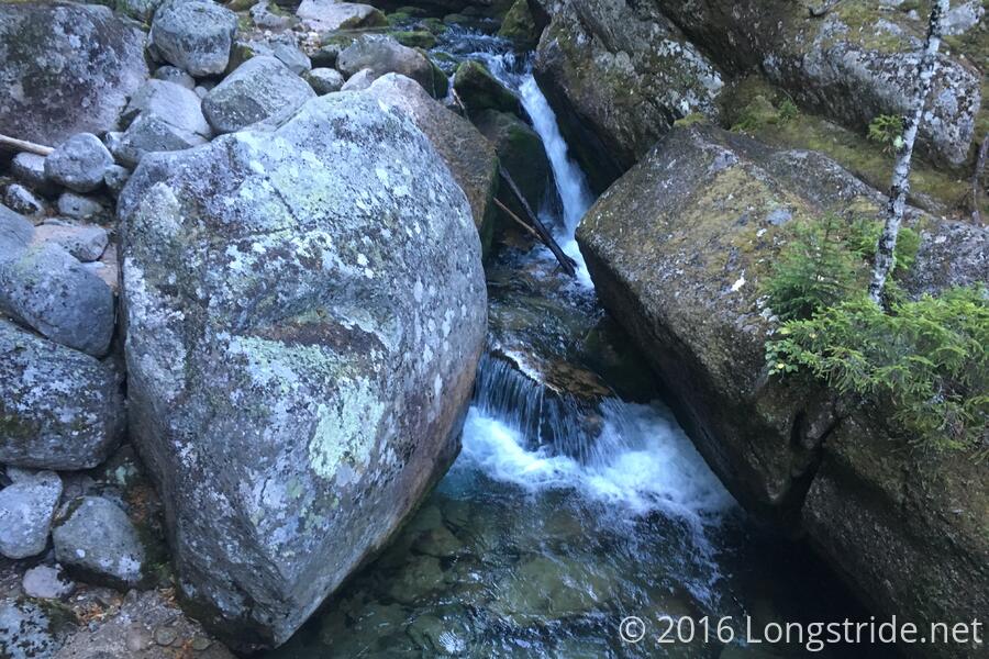
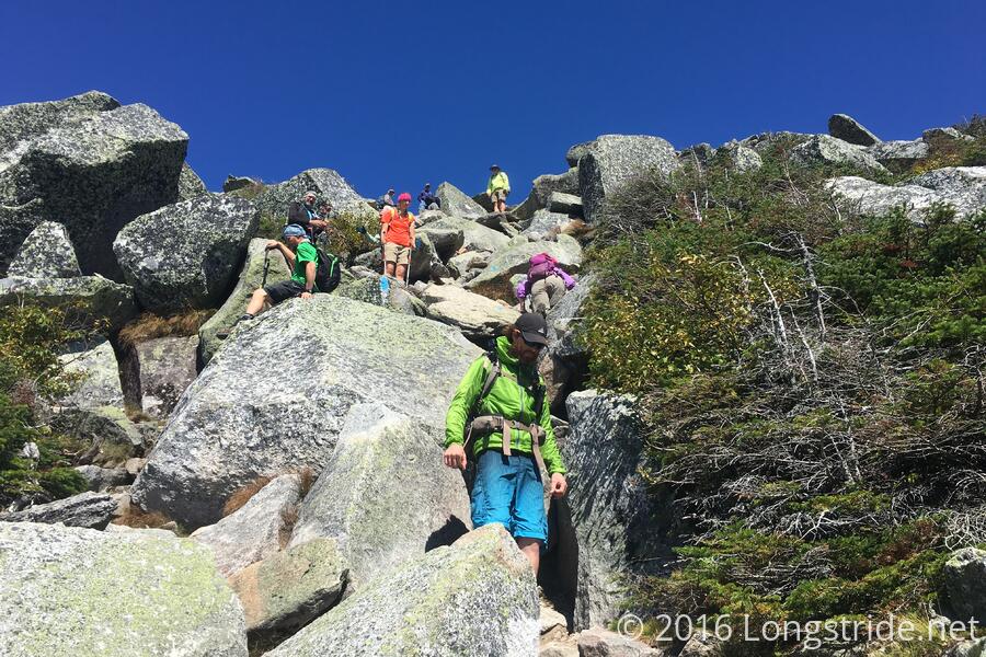
The climb, at first, was easy: a dirt path up a gradually-increasing incline. By 8 am, after about a mile and a quarter, as the trail became steeper, it started gradually transitioning into more climbing than hiking. By 9, we were in the middle of difficult rock climbing, using metal loops drilled into the rock for leverage, and progress was slow going.
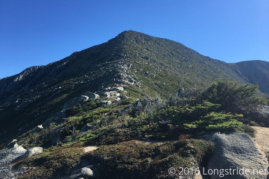
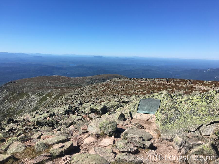
After 3.5 miles, we reached the Gateway, the end of the rock climbing, and The Tableland, a mile or so of broad surface, a gradual incline leading to a more steep rock scramble, leading up to the summit.
At 11:11 am, 176 days and two hours after I stepped through the arch at Amicalola Falls, I reached the sign at the summit: Katahdin, Baxter Peak, Northern Terminus of the Appalachian Trail. I was done.
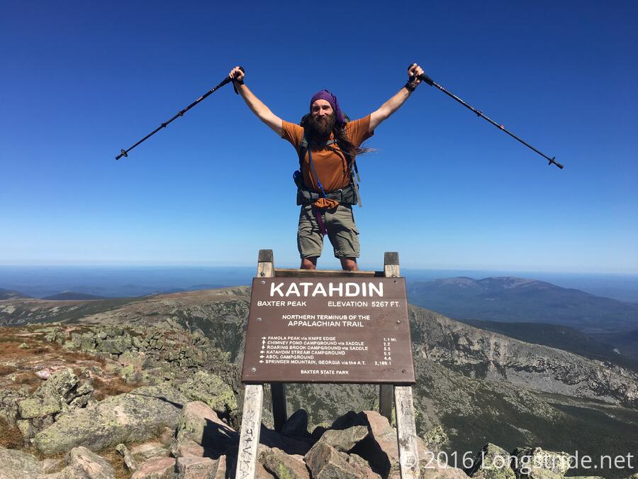
Well, not quite, we still had to get back off the mountain.
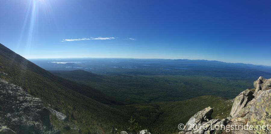
The weather today was flawless, not a cloud in the sky. It was a little windy at the summit, but that could easily be excused. As exhausting as it had been, I was glad I pushed hard the last three days to make it here today.
Taking the advice of some other hikers, rather than return to KSC via the Hunt Trail, the way we came, we instead took the Abol Trail down the mountain. I’ll admit, I was not looking forward to climbing back down the rocks; it was hard enough going up, and coming down was going to be much harder.
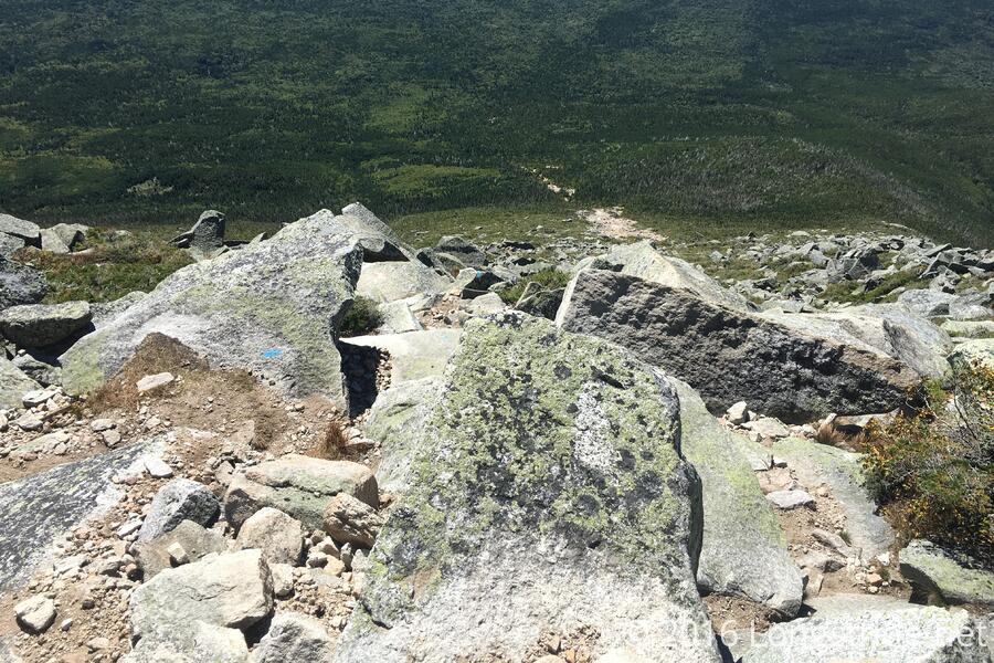
The Abol Trail splits off from the Hunt trail about a mile from the summit, and after reaching the edge of the Tablelands, takes a steep dive off the edge of the mountain, dropping almost 600 feet over 1100 feet of trail (61% grade!), before taking a sharp turn to the side and continuing down the mountain on a recent trail reroute, not quite as steep as before.
While the trail was incredibly steep coming off the tablelands, it was a much easier hike down than it would have been going back the way we came. I was able to get into a groove, slowly and steadily working my way down the slope, rarely having to stop.
We took a break just under two miles from the summit, and continued on, passing trail maintainers who were adding steps into the trail. It was slow going, mostly from the steepness, and my knees were crying out in agony, after having done 65 miles the previous three days and the hard work they were handling today.
My pace gradually quickened as the trail slowly became less steep as it reached the base, at the Abol Campground, four miles from the summit. From there, it was a brisk 2.4 mile (dirt) road walk back to KSC.
I made it back to the ranger station about 3:15, just over eight hours after setting out from there this morning. I signed up for a shuttle to the AT Lodge in Millinocket (which was now two people over-capacity), and waited at the ranger station.
The head ranger was there to talk with us. A former National Park Service ranger, he left the NPS to work at Baxter specifically to help coordinate and improve the AT experience in Baxter, both for thru-hikers, and for the park itself.
He, and the other ranger on duty explained why the Abol trail had been re-routed. One of the oldest and steepest trails to the Katahdin summit, it has eroded considerably over a hundred years due to constant use. The trail original had been closed in recent years because it was manifestly unsafe: the trail had eroded to the point that there were huge boulders that were visibly sliding down the slope. The relocated trail, while still very steep, does have a number of switchbacks to reduce its steepness and help extend the life of the trail. The erosion of the old trail is clearly visible from a distance, a white scar on the mountain where there should be trees.
The shuttle to the hostel arrived at 4:20, and after confirming that a few people had made other arrangements and weren’t there, the twelve or fourteen of us at the ranger station packed ourselves into the van, heading out of Baxter, to Millinocket. Now, finally, the hike was over.
At the AT Lodge, I grabbed a bunk, got a shower, and grabbed dinner at Scotic In with Sea Dog and the others I hiked with today, and while I had planned on going to the bar across the street afterwards, I was exhausted, and my bunk beckoned.
Tomorrow: figure out how to get back to my car in Andover.