After yesterday’s hike through the Gila River, I continued upstream to the Middle Fork Gila River, ensuring a second day of waterlogged boots.
Pretty tired from yesterday’s hike, I set my alarm for 6 am today, hoping an extra hour of sleep would help make me less tired today. I’m not entirely sure it did, but part of it might have been the somewhat lumpy ground I put my tent on.
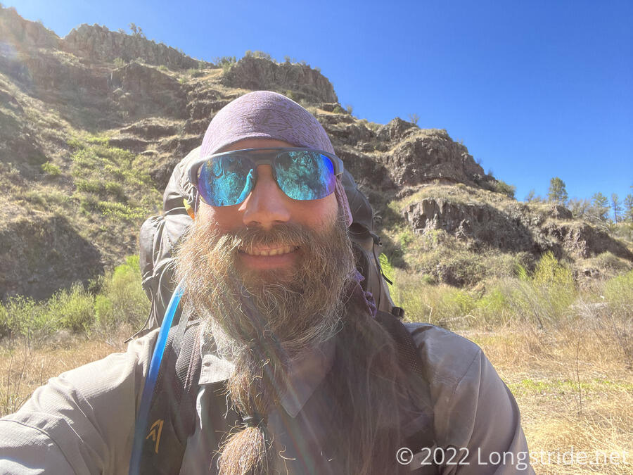
It was cold out, though not as cold as it was two mornings ago, and I dawdled a bit taking down my tent by chatting with Simple as he took his tent down. Mostly, I knew I was going to have to hike with a rather heavy pack today, and I wasn’t really looking forward to it.
I left Doc Campbell’s at 8:30, probably about an hour after everyone except for James and his dog. Part of that was waiting for my phone and watch to recharge; it seemed like in the cold, it took them extra-long to charge up to full (despite being nearly fully charged when I went to sleep last night).
The day started off with a three mile roadwalk to enter the Gila Cliff Dwellings National Monument. From here, there are two options: the Gila High Route, which visits the cliff dwellings and follows a trail high on the canyon ridge; and the “low route” (the Gila River Alternate) which follows the Middle Fork Gila River.
Not carrying a lot of water, I stopped by the visitor center’s water fountain and drank a lot to ”camel up”. While I was there, I chatted with one of the park rangers, who was very enthusiastic about getting people to come back and hike more of the trails in the park. She also said that the fire up ahead that is closing part of the trail is 85% contained, so there is the slim chance that by the time I get up there, it’ll be dealt with and I’ll be able to hike through. Fingers crossed for that.
She also said that the cows in the river canyon (which I saw evidence of yesterday, but did not see the cows themselves) are actually the third generation descendants of cattle left in the canyon when the forest service revoked ranching permits 100 years ago. Hopefully, someone will do something about the cows, because as they continue to make herd trails, it really makes a mess of figuring out which trails are the hiking trails.
From the visitor center, I continued on the low route, heading to the Middle Fork Trailhead, and was back on trail and off road. The fording of the Middle Fork Gila River begin fairly quickly.
Yesterday, I left the Gila River at the confluence between its East and West Forks. I rejoined it today just upstream of the confluence of the West and Middle Forks. From here, I’ll be along the Middle Fork until I reach Snow Lake in a few days and depart the river for good.
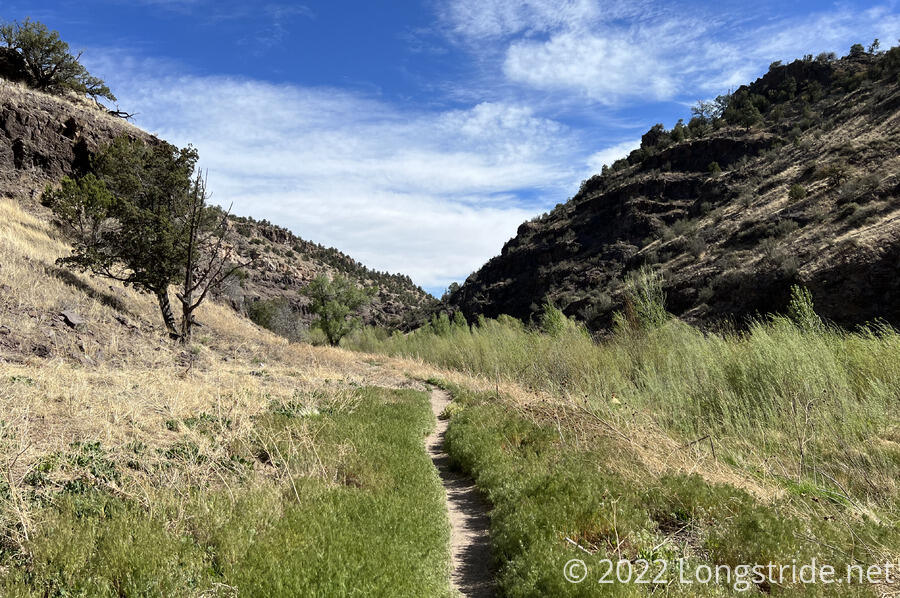
In comparison to the Gila, the Middle Fork is a calmer, slower moving river, with less water and less depth. It is also markedly clearer, with much less debris in the flow. The crossings today were generally easier. Most of the crossings were below the height of my waterproof socks, so my feet weren’t nearly as wet, but there were just enough deep crossings today to refill my socks with water after every break, leaving my feet very unhappy by the time I stopped.
The constant crossings also kept my boots waterlogged, and almost every crossing charged uphill rather steeply ten feet or so, which was a chore with the pack and wet, heavy boots.
I passed by four beaver dams today. The first one was the biggest, but I was already a bit tired passing it that I didn’t recognize it for what it was until I’d passed it and was up on the floodplain behind the dam with the tell-tale signs of trees downed by beavers.
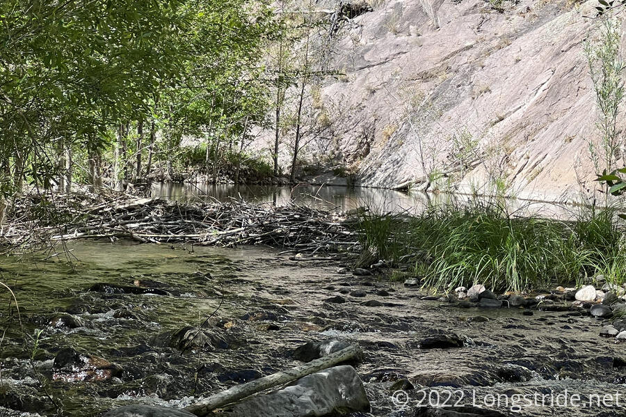
The Middle Fork seemed to have more life in and around it than the Gila did. At almost every crossing, I saw small fish, tadpoles, dragonflies, and/or other insects. There seemed to be more birds. I don’t recall seeing any cow pies today, so perhaps the presence of cattle is adversely affecting the water quality of the river to the south.
Late in the day, I also encountered a snake on the trail. It seemed disinclined to move, even after I knocked a couple of rocks and twigs into it, so I had to resort to poking it with my poles until it got the hint and slithered off the trail.
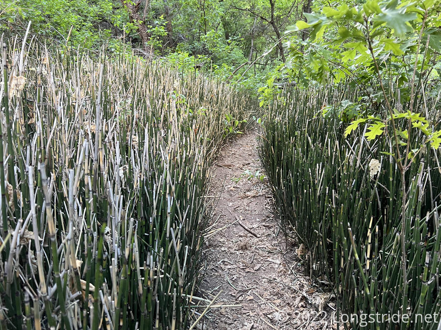
The weather today was great, and it felt like there was more forest shade than yesterday. I think the canyon walls are also generally closer to the river than yesterday; they started blocking out the sun somewhat earlier in the day. (At one point, the trail also went directly against the canyon wall, a jagged sheer rock face at that point.)
After noon, I passed a group of hikers doing a short loop of some sort taking a break at a campsite. They let me know about a hot springs five miles further up the trail. I thanked them, but I was already disinclined to stop by the hot springs, since I got a late start and felt I was hiking slowly. By the time I got to the turn-off for the hot springs, I was definitely too tired to enjoy them.
I’d planned on hiking about 18 miles, but my heavy pack, late start, and 71 water crossings conspired against that. My first two breaks were after about five miles each, relatively short by CDT standards, and my third break was after not quite four miles. Even after that break, I was pretty exhausted, and after 15.5 miles, just before 6 pm, I saw a nice pair of campsites right after a river crossing, and decided to stop there. I was done for the day. I was a little disappointed I fell short of todays goal by about 2.5 miles, but that distance with nine days of food did feel like an accomplishment. Especially considering how tiring the repeated water crossings were. And there will be still yet more fords tomorrow…