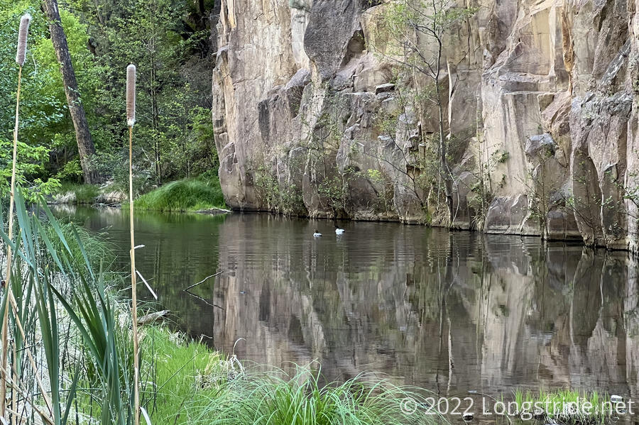
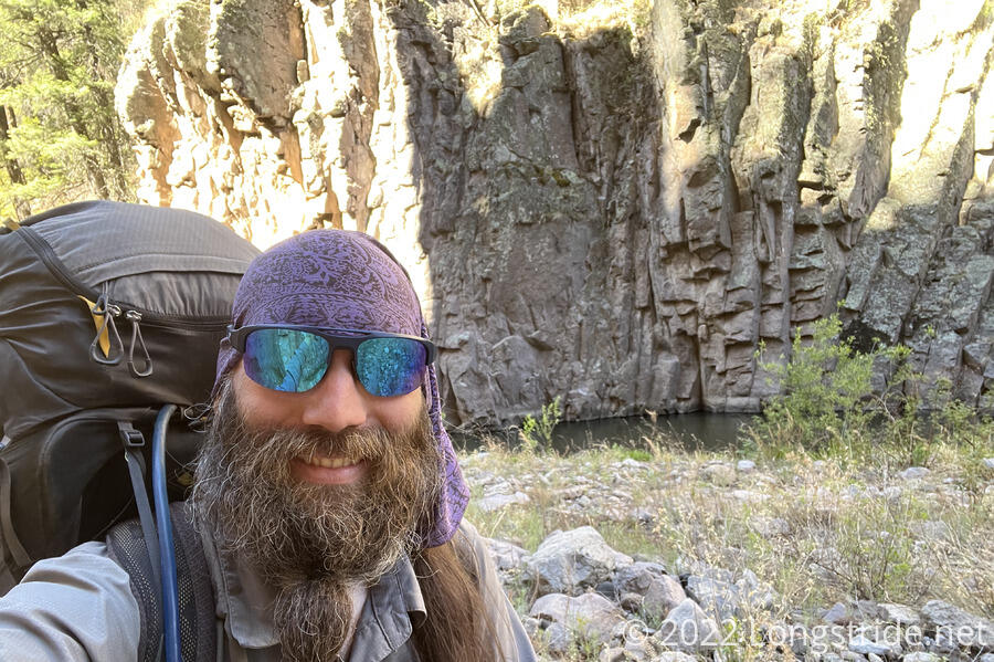
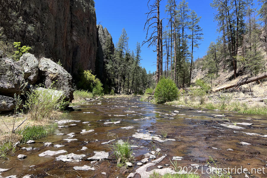
After three continuous days of water crossings and wet feet, I’m still not done with the Gila River.
As I was taking down my water bag from the tree I’d hung it on yesterday, I noticed that one of the grommets protecting the bag form the handle had fallen out. I’ve been using this bag since my Long Trail hike, so it’s not surprising it’d eventually start to break. Hopefully it’s not going to become a problem, and in the meantime, I can probably reinforce the bag with tape. In any case, it’s doing pretty well for having a few thousand miles of use.
I managed to get off to a slightly earlier start than I did yesterday, leaving camp at quarter to eight. It’s a good thing, too. I very much underestimated the difficulty of this section of the trail, and I needed all the time available for hiking.
The early part of the hike today was nice. The trail went through a small forest, and in the shade, the chirping birds reminded me of the Appalachian Trail. The AT was never quite this wet, though.
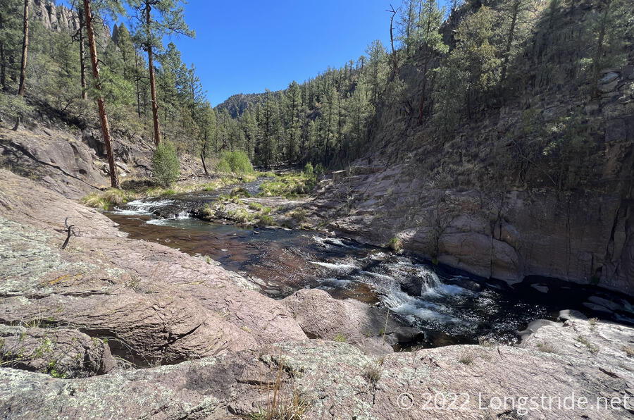
As yesterday, the trail was fairly clearly distinct, except for a few areas where the trail could have done with some better markings. In particular, at a small waterfall. I figured the trail didn’t actually go up the waterfall, but it took some searching before I found a trail that went up a steep rocky outcrop. After passing the waterfall, a bit further up the trail, the trail seemed to disappear, and I just happened to notice a cairn on the other side of the river. I backtracked a bit and was able to cross and get where I need to be, but it was never clear where I was supposed to have crossed.
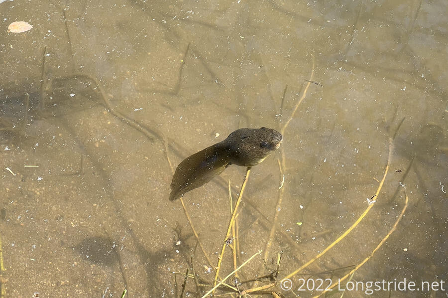
Just below the waterfall, in a calmer pool of water, a bunch of tadpoles gathered, very much on their way to becoming frogs.
As I proceeded upstream, the river seemed to generally become a bit wider (and thus also less deep). There were also several places where, rather than a bed of small rocks lining the bottom of the river, the riverbed was just sheets of bedrock.
Later, I somehow went off the intended trail, taking a wide loop following the river instead of cutting the bend. Once I got back to the line on the map, it wasn’t clear there even was another direction the trail came from, so it seemed like a chance the map was wrong. At least following the river has been generally easy, and given the steep canyon, it’d be kind of hard to get too far off-trail.
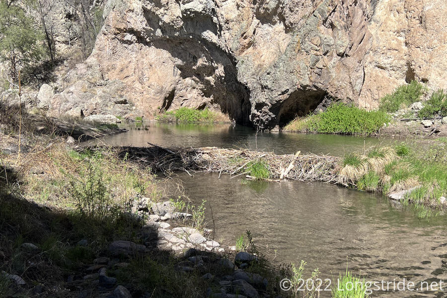
The trail also passed by several more beaver dams, the last of which was the deepest water crossing I’ve had to do so far — the water came up to my crotch.
Today was a challenge. I was hiking pretty slowly, because the combination of the river crossings, the usually steep drop to and climb up from the river at each crossing, and a lot of twisty trail and hard-to-hike-on sandy surface made it hard to get up to a good pace and maintain it. Part of what kept me going was noting that the canyon walls seemed to be shrinking as I was moving upstream. And the water level at most of the crossings was slowly getting lower. I was gradually making my way towards the end (or rather, the beginning) of this river.
For most of yesterday, and a bit this morning, it was clear there were other people hiking. At the crossings, the ground would be wet or damp for a little bit after the river. For several hours today, though, I saw no signs of anyone else being on trail. The crossings were all dry.
Around four, I saw the first sign of other people since early this morning: wet ground at a river crossing. I’m not sure that actually helped me hike faster, but after going the whole day without seeing anyone (and I knew there “had” to be lots of people around somewhere because I’d just camped with seven of them two days ago, and passed several other non-CDT hikers yesterday as well.)
I passed several nice campsites, but kept hiking since it was still a few hours away from sunset, and if here were other people out here, I kinda wanted to catch up with them. Eventually, I started to regret that decision after going for awhile with no campsites and the sun starting to sink.
Eventually, I caught up with Noodle?, and shortly after, Simple, who’d hung back to carry Noodle?’s pack across an especially deep crossing that, for once, did not involve a beaver dam. (Noodle? is short, and her pack almost certainly would have gotten wet. This was a worry I’d had myself, because my sleeping pad is strapped to the bottom of my pack, and the heat-reflective coating easily washes off when it gets wet. Fortunately, the river level has always been low enough that that hasn’t been a problem for me.)
About an hour and a quarter before sunset, I caught up with the rest of the group that had left Doc Campbell’s a bit before me. We’d missed each other on trail because they’d taken the Gila High Route yesterday to visit the cliff dwellings (so I never would have seen them yesterday), and rejoined the low route where the high route crossed it earlier today.
One other hiker joined our camp, Chairman. We very quickly learned how he got that name: he carries a lightweight camp chair. I offered that someone should give him a plank so he could be the Chairman of the Board.
I had 108 crossings of the Middle Fork today. But, tomorrow, finally, we leave the Gila River. While it’s been much different (and welcome) to have the shade and plentiful water, compared to the desert, it’s been exhausting hiking the river, and I’m very much looking forward to dry feet again.
