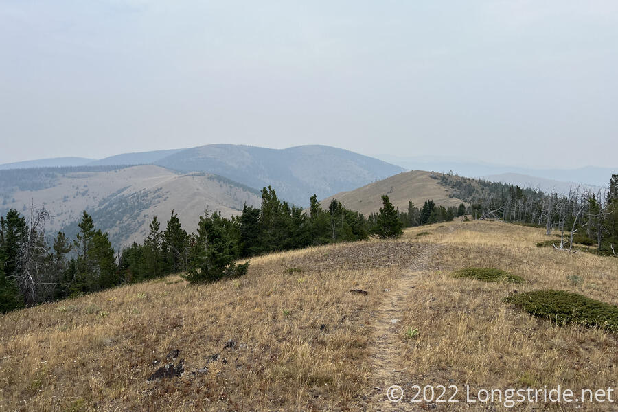
A smoky day along ridges and a rainy evening in Central Montana continued somewhat atypical gloomy weather on the trail.
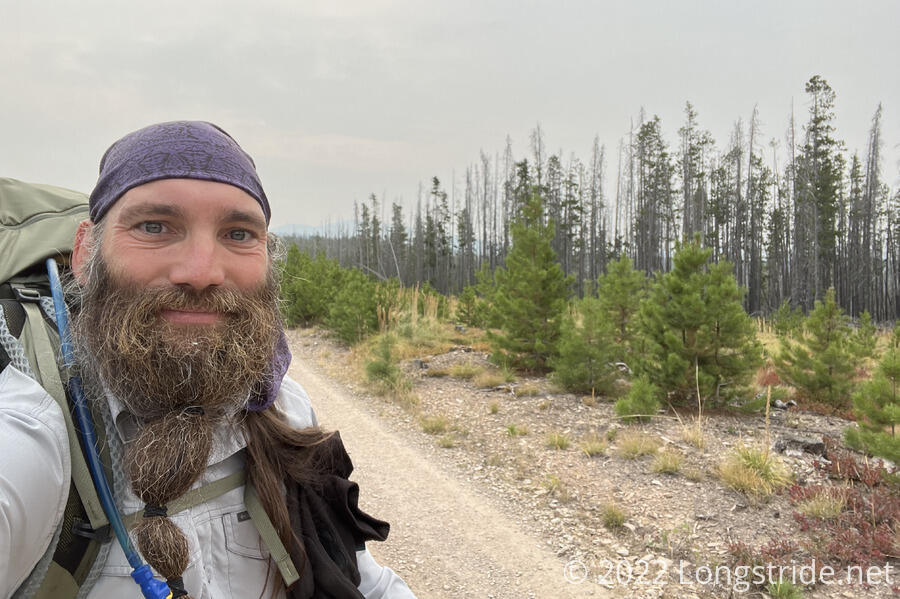
After a few cold nights in a row, I was pleasantly surprised with the temperature being warmer than I expected. Not surprisingly, there was still smoke in the air. Throughout the day, most views were obscured. If I was actually hiking away from the fire, it sure didn’t seem like it.
Leaving camp, we found dog kibble lying on the ground. The guy from last night really was shaking out a can of dog food.
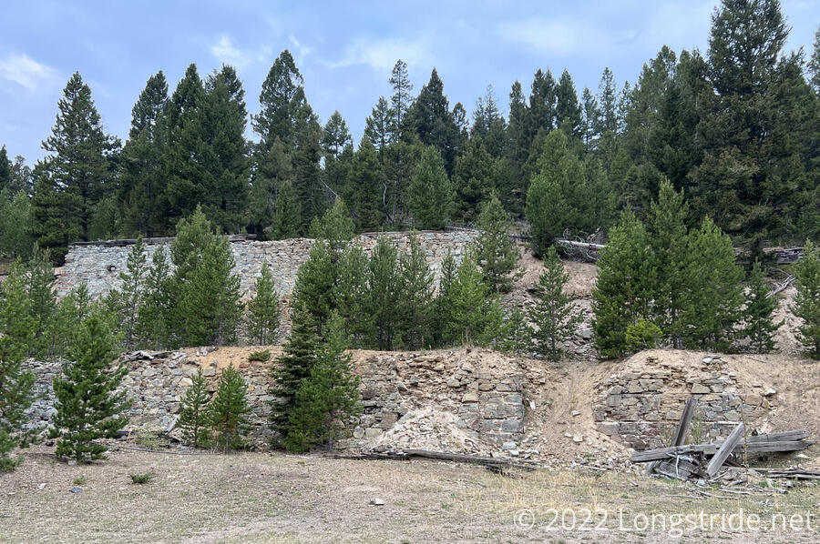
A short distance up the road, built into the hillside was the stone ruins of some kind of structure. I assumed an old mill, but that was just a guess based on there being a creek nearby, without really any other evidence.
Following a network of roads, I made my way up a valley, rejoining the CDT, continuing to follow dirt roads up and around a mountain. Along the way, I passed a truck slowly driving down a road. At an intersection, a sign for a lost dog was stapled to an empty message post.
After about three and a half miles, I diverted from the trail to get water at a bathtub (literally) water trough. Recon, Flame, and Waves were there already; they said that Fuck-It had caught up, and was now ahead with Wild Man. Flame and Waves spoke with the guy in the truck I passed; it was the guy from last night, who lost his dog two weeks ago. Now, he comes out every morning and evening to try and find it, hoping to lure it back with a trail of food.
From the water trough, the road continued uphill, flanked on both sides with forest with a fairly significant setback, and new pine trees growing almost right up to the road. My initial thought was there had probably been a fire here, but the strip along the road could just as well have been from logging.
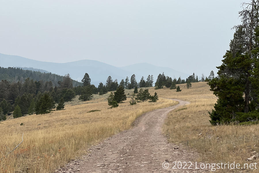
As the morning progressed, it got cloudy, and began feeling a bit cooler than it did in the morning. And for about 8.5 miles, I followed a dirt road through a clearing, gradually gaining elevation.
The trail eventually turned off the road, passing through a clearing before entering forest and making a steep climb up the side of a mountain. The clouds brought with them a few raindrops, but nothing significant, at least, not yet.
I made a wrong turn at a trail junction, turning up towards the summit of Black Mountain, rather than down along it’s eastern edge. Once I realized I was off-trail, I was already halfway to the summit (only half a mile away from the trail), and decided to just drop my pack and finish the ascent. The final part of trail near the summit was a bit indistinct, and I wound up bushwacking a little to find the summit cairn. Shrouded in forest, there was no view from the summit. The detour in all cost me about half an hour. On the way back, a light rain started to fall.
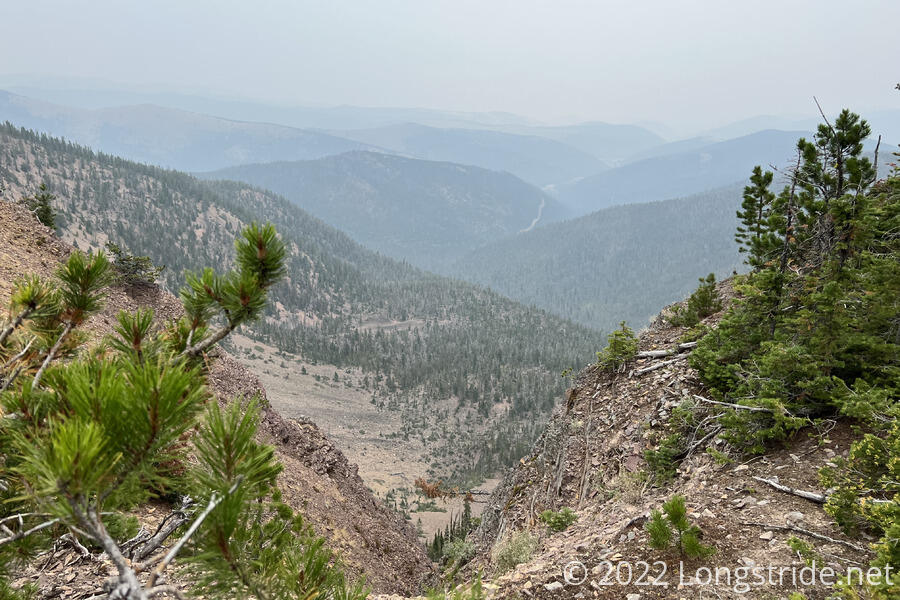
Now roughly following a ridge, the trail passed by a few steep cliffs with views to the east. The haze in the air (and the clouds) did little to assist the view, but it seemed clear that there would have been a good view in better conditions.
The trail continued to follow a ridge, climbing several hills. The ridge itself was largely bald, so I could well see the trail snaking along in the distance. The clouds and smoke in the air gave the landscape a gloomy feel to it.
For much of the uphill today, I felt like I’d been going slower than I really was. Once I made it past Black Mountain, though, the trail provided some downhills, and that was enjoyable.
Shortly after passing two hunters with bows, I reached a clearing in a saddle, and the junction to the Nevada Creek Trail, which heads west downhill along the creek’s valley. We had originally planned to camp somewhere downhill at a flat area along the creek, but at some point during my leapfrogging with the rest of the group, the plan had changed, so that we were going to get water there and go a few miles further to another campsite along the trail. I wasn’t really looking forward to that with my water filter being as slow as it has been, but having the extra push to go a few miles more was probably a good thing.
It was a fairly nice downhill along the trail to the creek, but the creek itself was not flowing until much further down than I expected, and I had to go three quarters of a mile down the trail until I found a place where the water was both flowing, and accessible. I collected enough for dinner tonight, but didn’t add any to my pack bladder, since there’s an outfitter just off-trail tomorrow morning that I should be able to get water (and maybe some snacks) at.
It drizzled occasionally while I was at the creek, which was annoying. It’s bad enough getting rained on while hiking, but getting rained on while filtering water is simply the worst.
This was also my third out-and-back detour away from the trail today, which was quite unusual. Granted, the summit was unplanned, but I’m having a hard time remembering the last time I had three out-and-back detours in one day. It was a few miles of extra hiking for “only” water.
About an hour after I left, I returned to the trail, climbing back up through the forest around the creek to the bald area near the saddle. As I returned to the trail, I could see two people uphill a bit, near the trail a little further ahead. One of them had a blaze-orange poncho. I thought it was more hunters, but later, once the trail took me back into forest, I found that it was Velveeta and Fuck-It. The large poncho did look kind of ridiculous, but it did a very good job of keeping Fuck-It dry, and highly visible.
A few more miles brought us to a campsite just off the road. I got my tent set up quickly, but shortly after I started cooking dinner, it started to rain. I got my macaroni and cheese done, but the rain had picked up to an extent that instead of cooking ramen, I decided to pack up dinner and get in my tent, having some snacks instead.
Tomorrow will take me to an outfitter along the trail, and get us most of the rest of the way to a resupply in Lincoln.
