Leaving the desert for the mountains brings me to Mount Taylor’s plateau, the final stretch of trail before descending to Grants.
With no tent to deal with this morning, I finished packing up shortly after sunrise, just as the sun came out from behind the clouds. It was cool, with a light breeze, but I knew it soon wouldn’t be.
After passing through another extremely tight stile, the trail took me along a gentle downhill towards Mount Taylor. I was pleased with my choice of campsite last night; in the first several miles today, there wasn't really anywhere good to camp. The trail this morning has often been a narrow bumpy uneven ditch, with grasses and cactuses on both sides. The relatively flat ground was anything but flat over tent-sized distances. This all made hiking this morning slower and more annoying than usual.
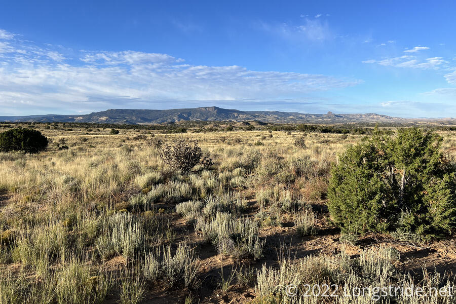
The trail passed across a very wide (and deep) wash, that had a wide, shallow stream going through it. Because it was so shallow, I was able to find a way across that mostly kept my feet dry, though this was still a bit tricky because the stream bed was sand, and my feet sunk in if I moved too quickly (or not quickly enough). Like the other washes I saw a few days ago, this would have been very not fun to cross if there’d been much rain recently.
After the wash, about six miles into the day, I stopped for a break next to a bush that provided a tiny bit of shade from the sun. This was the beginning of today’s uphill. If the weather forecast is accurate, and there’s going to be rain all day Sunday, and Monday morning, then I’m likely going to not summit Mount Taylor, and this will be the last significant uphill of the hike.
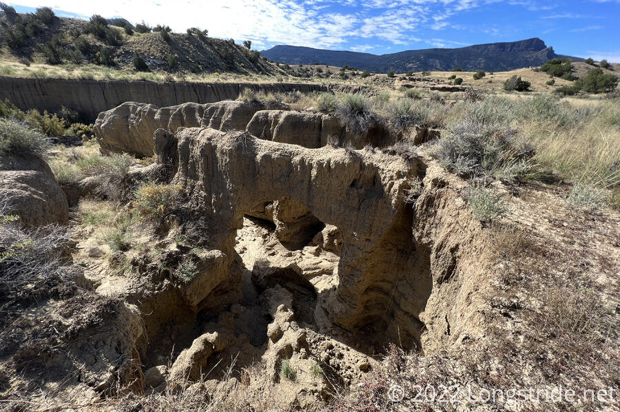
Beyond that a bit, an area adjacent to a different wash was significantly eroded out, resulting in an arch below ground level.
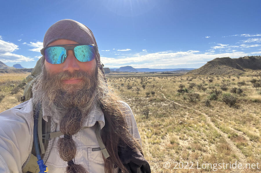
The trail briefly joined a dirt road, then turned off as it began the steep climb up the side of the plateau leading to Mount Taylor. A car parked on the road just past the trail junction suggested there were probably day-hikers out somewhere. It turned out the “day hikers” were actually two trail maintainers, who were hacking away at weeds — some of them cactus — that were starting to overgrow the trail.
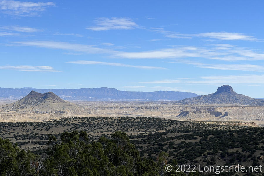
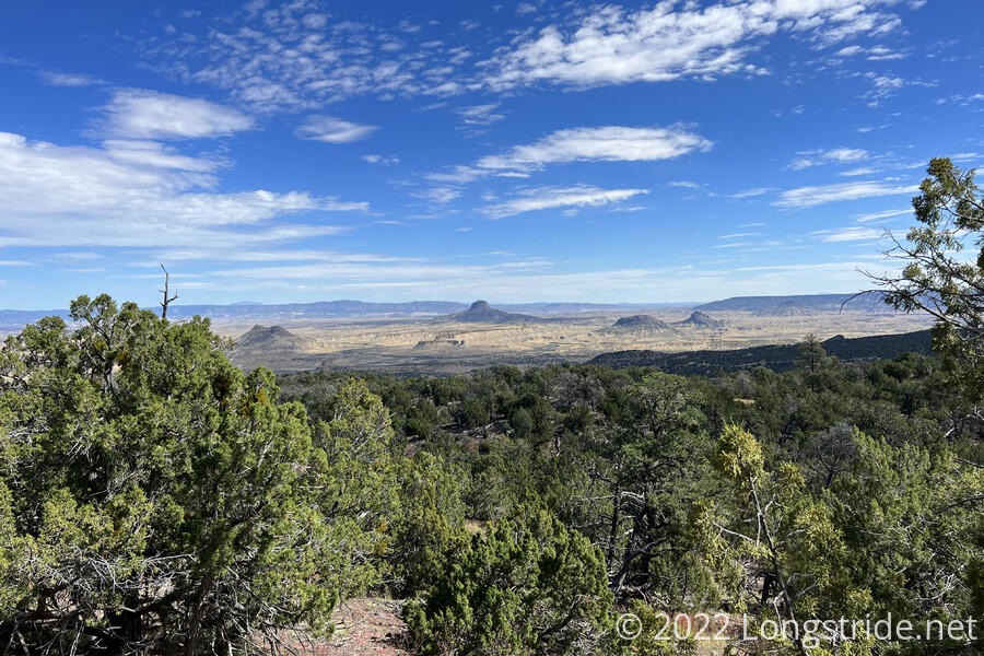
Cabezon Peak, visible for most of yesterday, continued to remain prominent for most of the morning.
The trail zig-zagged up the side of the plateau. About halfway up, I started to see bits of volcanic rock, evidence of the mountain’s long-dormant volcanism.
Climbing up almost 2,000 feet from the desert floor, the mountainside gradually grew some trees, and the desert gradually receded.
The forest on the side of the mountain was short-lived. Once I reached the top of the plateau, the forest quickly vanished, and the trail zig-zagged its way through relatively flat meadows. I stopped for a break under a tree once it became clear that there wasn’t going to be much forest left to provide shade.
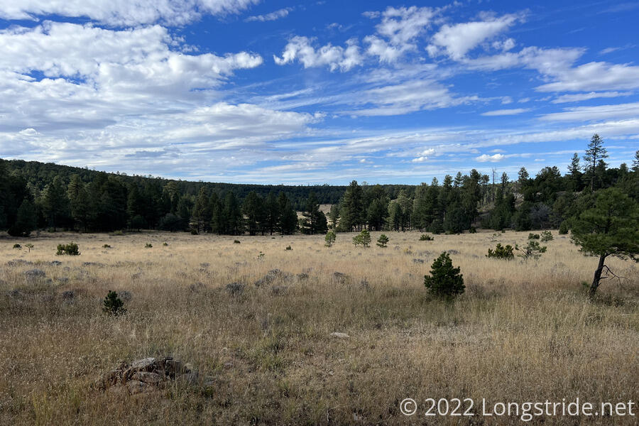
With the trail on a relatively flat plateau, I made excellent time across the meadow, and after a couple of miles, the trail dipped into a light forest for a while. After five miles, I stopped for a break. Because the trail had been so easy, I’d been pushing pretty hard — over three miles an hour — because I could, and because the further I got today, the more options I’d have tomorrow and Monday.
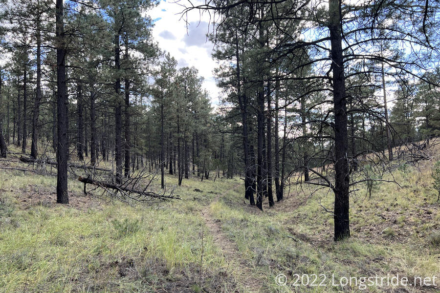
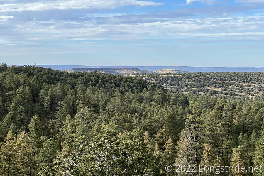
The relatively thin forest continued for a while further, without much in the way of views. After about 3.5 miles, I reached a road junction at the entrance to the Cibola National Forest, and followed a side trail about half a mile off to a spring. Just off the road, the side trail had a number of nice areas for camping. Beyond that, the trail switchbacked down a steep canyon, which provided one last view to the northwest.
The spring, well flowing, was piped into a large trough in a fenced off (with barb wire) area. This took some careful maneuvering to duck in and out through the fence, but the water was otherwise very clean for tough water, and easy to access, and I got enough water for dinner tonight and to drink tomorrow.
Already at the spring were Speck and Space Jam; Wonder Woman arrived a bit later as I was preparing to return to the trail.
Now on a dirt road (and weighed down with a few extra liters of water), I tried to keep the pace up as long as I could. The further I could make it tonight, the better it would be for tomorrow. The updated weather forecast claimed rain all day tomorrow, and snow on Monday. Almost certainly, I won’t be taking the alternate to summit Mount Taylor, but I won’t need to make a final decision on that until tomorrow afternoon.
As sunset approached, I started looking for a campsite, and stopped about 20 minutes after sunset once I found a reasonable spot just off the road, with some tree cover.
Speck, Space Jam, and Wonder Woman passed me while I was setting up my tent. Later, hours after sunset, at least two more hikers, an hour apart, passed by on the road.
The climb up the plateau was very tiring — I’m long past ready to be done — but I have less than 50 miles to go to Grants, whether I take the alternate to summit Taylor or not.