Earlier today, I again returned to Patapsco Valley State Park for yet another hike with MAHG. This time, our hike followed several trails in the Hilton and Glen Artney areas to form two loops through the park.
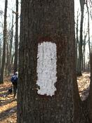
After starting off at the parking area for Pavilion 245, the nine of us crossed an open field and joined the white-blazed Santee Branch trail, at one point taking a bit of a shortcut through a clearing for power lines and crossing a few small streams. (I can’t help but think of the AT whenever I see a white blaze. And though this might not be the AT, at least it is a trail.)
Santee Branch transitioned to the Bull Run trail briefly, and then we followed another unnamed trail before briefly emerging at a parking area along MD-166. Unfortunately, once there, we lost one of our hikers, who felt she had injured her knee and decided to walk back to the parking lot via roads.
We returned into the woods on a new, unnamed trail, apparently constructed by a local mountain biking club, that was really very well constructed. (It was a bit too close to the road for our hike leader’s liking, though I suspect it’ll be a bit quieter in the summer once the leaves have grown back in.) After passing a hunter in camouflage setting up a blind, we joined the Soapstone trail and followed that to a parking area with a (closed for the winter) restroom.
Taking a tiny shortcut, we hiked uphill on the road to the parking lot. After completing a clockwise loop that made up the easternmost portion of today’s hike, we re-joined the Santee Branch trail and largely retraced our steps back, though we stayed on the trail rather than take the path through the power line clearing. That enabled us to see a long, short stone wall that must have been created as a property boundary. (It reminded me of the many such walls I saw in the northern states on my AT thru-hike.)
After we arrived back at the parking lot, we lost two more hikers, who declined to continue on the second loop, which would add another three miles to our five mile hike so far.
From the parking lot, we followed the Forest Glen trail southwest, starting a second clockwise loop until it came to a familiar (to me) site: the tunnel under the railroad tracks from my hike on Sunday.
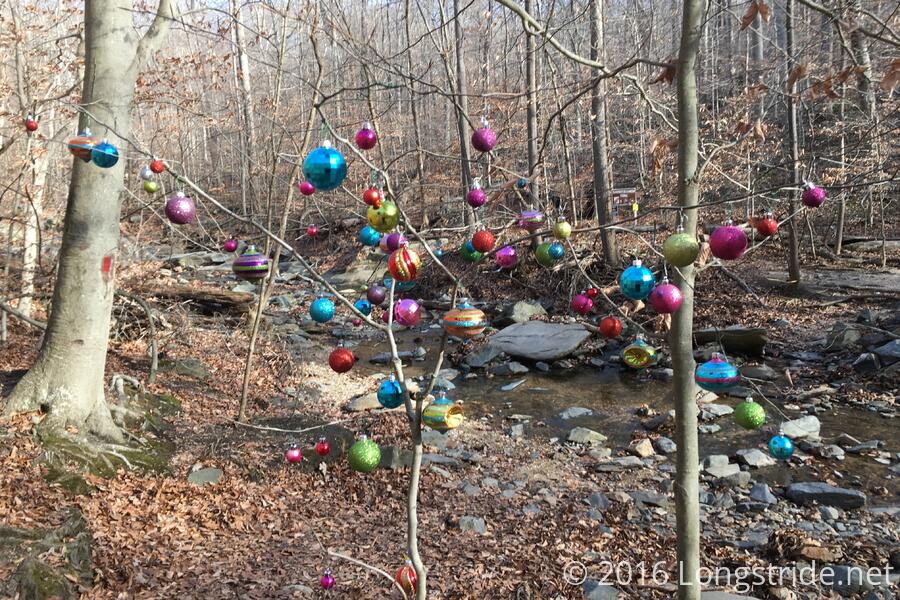
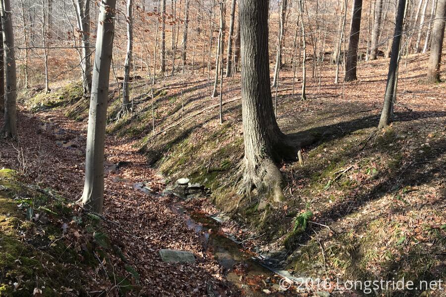
As on Sunday, we turned turned onto the Saw Mill trail, and followed it uphill along a stream, stopping briefly at a trail intersection, where someone had put colorful christmas decorations on a tree sometime after I was last here.
Rather than following Saw Mill all the way to the Buzzards Rock trail, we crossed over the stream we had been following and turned east onto an unnamed and very rocky trail, climbing back up to the ridge, and turning back onto the Santee Branch trail to follow it back to the parking lot. After reaching a road that ran from the parking lot to a campground, we opted to take a shortcut back to our cars, following the slightly more direct road, rather than staying on the trail which weaved through the woods (and crossed the road a few more times).
After a slightly strenuous uphill (taking the trail, while longer, would have been slightly less steep), we reached the parking lot. The day’s hike concluded, we set off to the Indian Delight restaurant in Catonsville for a post-hike buffet.