Today’s hike with MAHG was on hiking trails in the Merryman Point area of Loch Raven Reservoir. This reservoir, created by a dam on the Gunpowder River, provides water to the city of Baltimore, making this, unintentionally, my second hike in a row with MAHG that visited a Baltimore City reservoir located in Baltimore County. This hike was largely out-and-back, with some modifications at the ends to make it a dumbbell (in spirit, if not in shape).
The hike started off at a parking area and clearing off of Dulaney Valley Rd, before heading north into the woods on the western side of the reservoir, and very quickly became one of the most difficult sections of trail I’ve hiked in quite a long while.
For about the first mile, the trail was narrow, slick and slippery with mud. Combined with the trail itself being an angle, this made it very easy to slip and fall (many people did, including me), and trekking poles helped out quite considerably. Additionally, there were numerous fallen trees that required navigation over, under, or around, as well as trees growing near the edge of the trail that had small branches extending across the trail.
This reminded me a bit of the southern portions of the Appalachian Trail, where (slightly) sloped trail beds were somewhat common. Even those, though, were far more level than the trail following the shore of the reservoir. (I suspect that since it’s still quite early in the year, whomever does trail maintenance just hasn’t had the opportunity to work on this section yet.)
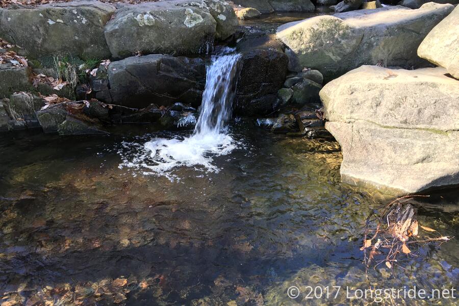
We stopped for a bit at a stream crossing to allow everyone to catch up, giving us time to appreciate a small waterfall.
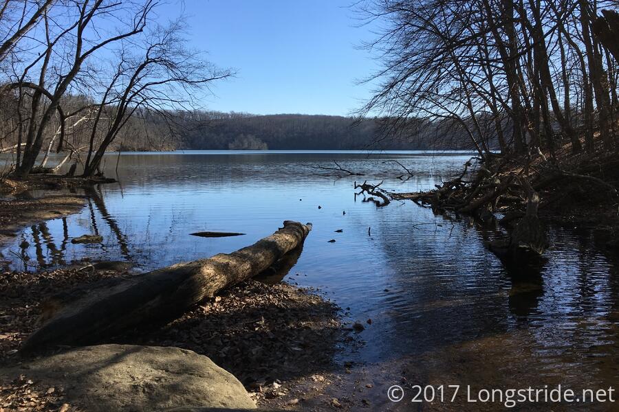
After crossing the stream, the trail took on a much more maintained character, being level and a bit wider (and a lot less slippery), making for a nicer hike as it led us along a path following the shoreline. As the trail passed through a power line clearing, a makeshift bench, made of a few planks of wood attached to a pair of logs, sat, giving a nice view of the reservoir. It was a nice touch, and several other places later in the hike had picnic benches set up at convenient spots.
After about 2.5 miles of generally following the elevation of the reservoir, the trail started to move inland just a bit, giving a series of gradual ups and downs over the next two miles, following the reservoir west, and gradually climbing the hill bounded by the water, approaching Warren Road. The road crosses the water via a bridge that seemed unusually loud, even from the distance we were from the road. Fortunately, we didn’t linger in that area for very long, and the trail turned south to roughly parallel the road.
After a total of about 4.8 miles, we reached the end of the “out” portion of our hike, and we began our way back. The next three-quarters of a mile took a slightly higher route back, along what appeared to be an old road, before turning back downhill towards the water and rejoining the trail had been on before. The next 3.3 miles retraced our path, before splitting off onto another old road for the remainder of the hike back to the parking lot, which gave us our longest and largest hill of the day.
I may at some point return to this park for another hike on my own; there’s plenty of other trails in this portion of the reservoir (and other sections as well), including one that goes past an old graveyard, so there’s still plenty more to see.