The arduous northern segment of the East Coast Trail continued, taking us past the northernmost point of the ECT and turning us southward along the Avalon Peninsula’s east coast.
We again left our campsite this morning around 8 am, and about 20 minutes of gravel roadwalk later, we were back on the ECT. Although overcast, it was a nice day out, though with rain forecast around 5 pm, we hoped to make it to a good campsite before then.
On the way back to the trail, we were able to get a better picture of the RV park, and it was pretty clear that some of the RVs were there for the very long-term. Some of them had storage sheds, fences, and even large wooden platform staircases up to the RV doors. Once back on the trail and up the hill a bit, we could more clearly see the large clearing for the RV parks expansion.
From a hilltop, we saw a few boats in the water, as well as a white speck out to sea. We hoped that maybe it would be an iceberg — we’d been told that iceberg sightings on the trail were possible, and since we’d already had quite good luck in seeing whales, we hoped that luck would extend to icebergs as well.
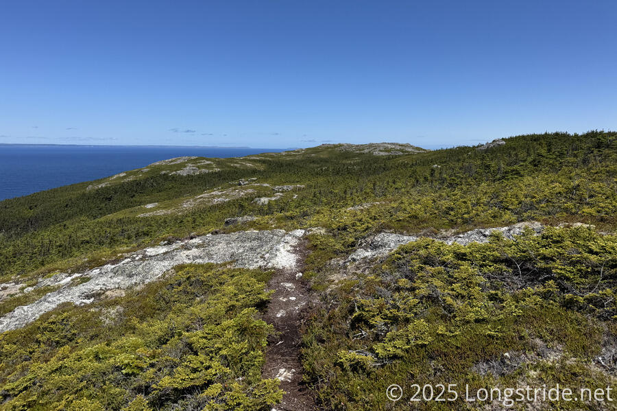
The White Horse Path continued to be rough. It seemed to oscillate between exposed rocky ridges (with great views), and occasionally overgrown forest paths. It was occasionally annoying that the trail would opt for the scenic route, rather than a more direct route with less elevation change, but the views were almost always worthy of the effort it took to reach them.
While on the cliffs, we continued to see whales out to sea, some of which were much closer to shore than yesterday, and we got some nice sightings. Having now seen so many more whales, we stopped stopping for each spout we saw, instead pausing only when we could actually see the wales doing something. The best was when we saw two whales surfacing near the coast, roughly following us north for a kilometer or two before we lost track of them.
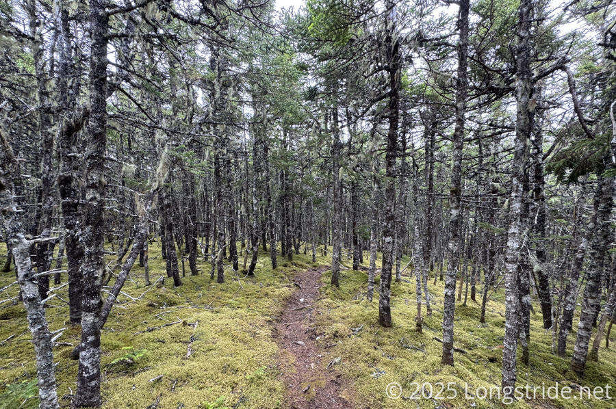
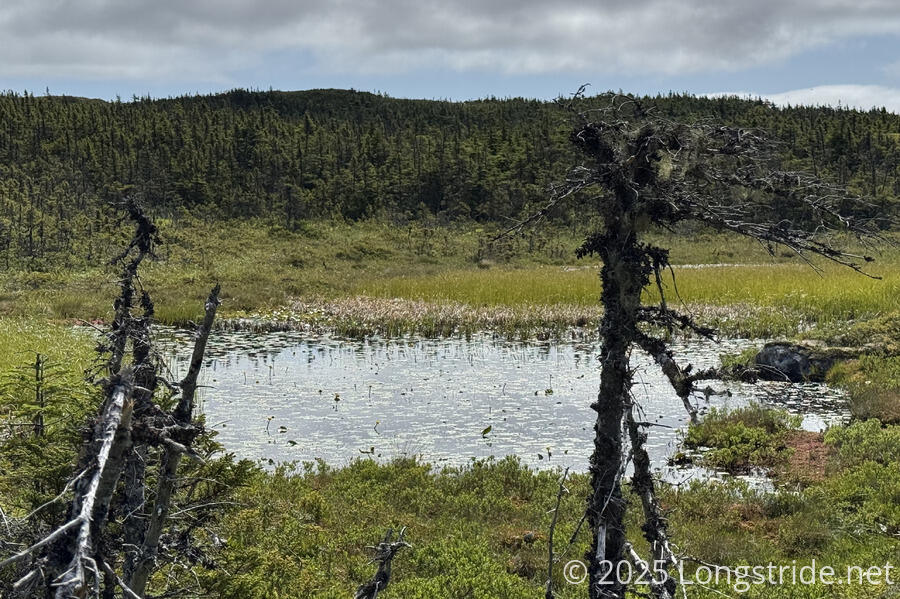
When the trail dropped off the rocky ridge tops into the forest only at a slightly lower elevation, we could often hear the chorus of frogs near the lakes.
Not surprisingly, it continued to be somewhat windy throughout the day, though the morning’s clouds gradually lifted to mostly clear skies by late morning. Some clouds remained out to sea, and over the main body of Newfoundland.
For a while, we traveled through a rugged scrubland along the ridge, which occasionally thinned, leaving us crossing bare rock on several stretches.
As we made our way north, it became clear that our iceberg was actually a ship, seemingly holding stationary. There’s still time, maybe we’ll get lucky some other day…
We passed the northernmost point on the ECT, though we didn’t realize it at the time because we were too busy hiking through the White Horse Path’s most difficult portion, with a lot of steep ups and downs. One of them was steep enough to require a heavy metal chain to assist. Along the rocky ridge tops, many poles meant to direct hikers had fallen over, so navigation was occasionally challenging. Fortunately, it was usually clear which way we needed to go.
Just before the end of the path, we scrambled up and down a rocky outcrop overlooking the Cape St. Francis Lighthouse, and its much larger attached helipad. The first other person we saw today was at the outcrop, having walked up from the road below.
The end of the White Horse Path brought us to a gravel road leading us through part of the community of St. Francis. We stopped for a brief break at a small parking lot, but had to keep going before too long because it had gotten colder, and the wind had picked up significantly, making it too cold to sit down. A few minutes later, we turned off the road, joining the Biscan Cove Path, initially through forest where we were much more protected from the wind.
The road we turned off of continued on another several kilometers to the next town over, Pouch Cove. The coastal path was a few kilometers longer, but also much more scenic.
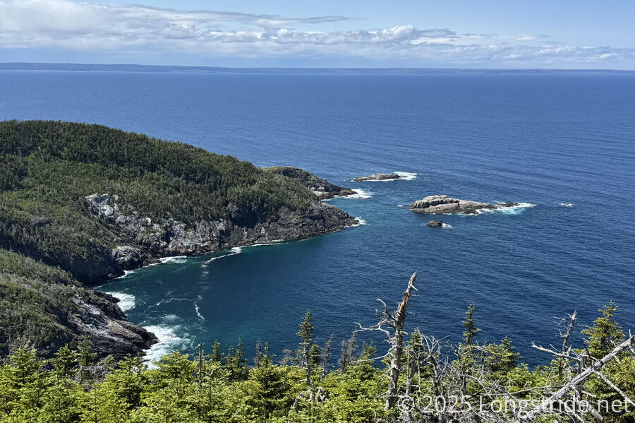
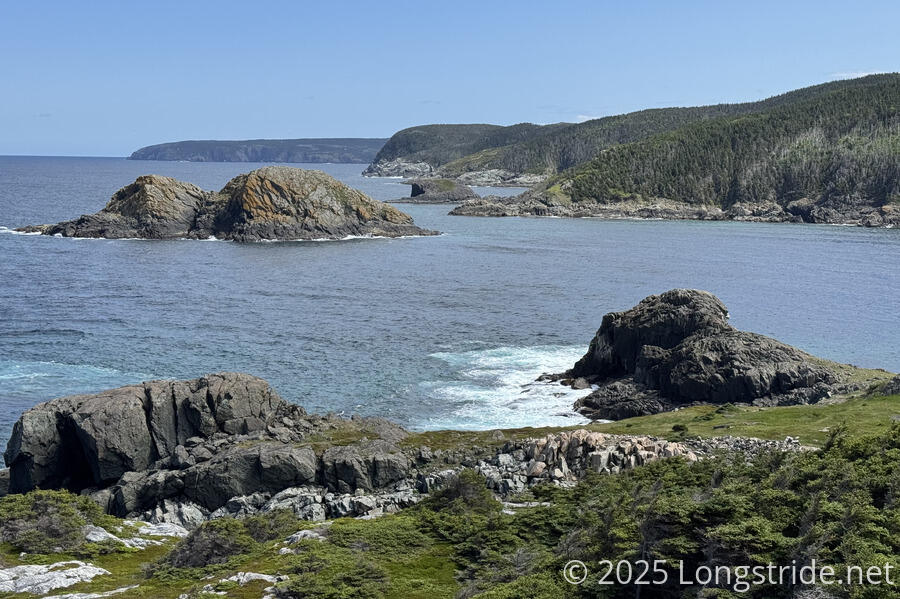
As we neared and passed the trail’s northernmost point, the coves along the coast became a lot more rugged and interesting, becoming reminiscent of the coastline along the Great Ocean Walk.

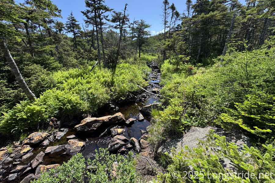
After about fifteen minutes on the path, we stopped at a creek to filter water, which we badly needed. My water bladder again was nearly completely empty. Spending much of the afternoon in bright sunlight with lots of wind made it hard to gauge how much I really was sweating, since the sweat evaporated quite quickly, but at least I was drinking water — sometimes it’s easy to forget when you don’t feel yourself sweating. Still, I was noticably dehydrated and low on electrolytes, and I was slower (physically and mentally tally) than usual. Once we filtered water and I drank the rest of my electrolyte mix, I immediately felt much better.
Unfortunately, it started raining just as we started to collect water, about an hour earlier than our forecast had suggested. It was never heavy, but it did make the rest of the day’s hike soggy and less comfortable — especially as the overgrown plants on the trail deposited the water they collected directly on our legs and shoes.
The only other hikers we saw today were four women in brightly colored rain gear, running the Biscan Cove trail north, towards St. Francis. Shortly before we passed them on a wet ridge, we had passed a dry campsite at a bend in the trail. A little while later, as the rain picked up, and we got further soaked, we somewhat regretted not stopping there.
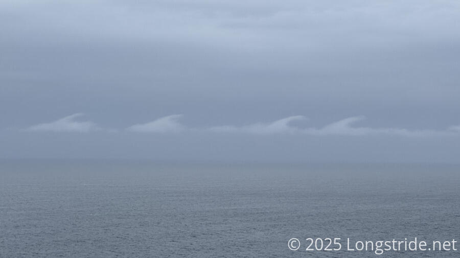
The clouds made the scenery much more drab, were interesting themselves at least once: a line of four shark fins swimming over the ocean.
Shortly before 6, we stopped at a campsite next to the trail, and quickly pitched our tent. We were tired and a little bit miserable, and wanted to be out of our wet clothes. The rain was supposed to stop soon, so I figured we could get our tent up, change clothes, and warm up a bit, and then cook dinner once the rain tapered off.
However, after we got the tent up and changed into dry clothes, CareFree found that her inflatable sleeping pad was leaking. She’d noticed it was a little low this morning, but it wasn’t a problem then. Now, however, it was leaking at a much faster rate, and with the ground cold and wet, her leaking pad would provide insufficient insulation to stay warm.
After stressing out about what to do about a potentially dangerous situation evolving, she found a B&B open in nearby Pouch Cove. And fortunately, we had camped right before a side trail to the road between St. Francis and Pouch Cove — we could hear ATVs roaring down the main road from our campsite.
After confirming that the B&B had space for us for the evening, we quickly took off our dry clothes and put back on our wet clothes, and took down the tent (now completely soaking wet, and with small pine needles covering the bottom of the ground tarp). This was a first for me: I’ve never broken down camp and moved after setting up, but, there’s always a first time for everything, and this was a good reason to do it.
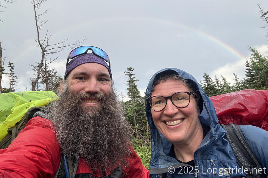
On our way down the side trail to the main road, we saw a rainbow, a nice reminder that even when it’s wet and gloomy out, there is still some joy to be had.
We sped through the side trail and the gravel road to Pouch Cove, rejoining the ECT in town and reaching the Points East B&B around 8:20 pm. By then, it had stopped raining, and we hung up our tent on the clothesline to dry out in the wind.
While I got a shower, CareFree chatted with the owner, Elke, who was one of the founding members of the East Coast Trail Association. By the time I was done, Elke had already turned in for the night, and CareFree got hers. Now, much too late to cook dinner, I dined on a meal of extra snacks, including some of the candy I got yesterday at the RV park’s store. I wouldn’t feel great in the morning, but at least it was something.
We turned into bed ourselves a bit late, but this being a B&B, we’ll have breakfast tomorrow at 8 am, so we’ll still get plenty of sleep.
Skipping about half of the Biscan Cove Path is a bit annoying, but at least we still have a continuous footpath from Topsail Beach. And, if we had known about the B&B ahead of time, we easily could’ve made it here at a reasonable time staying on the trail, knowing that we were going to get someplace dry for the evening (and not haveing to worry about a wet tent). Oh well, such is life on the trail!