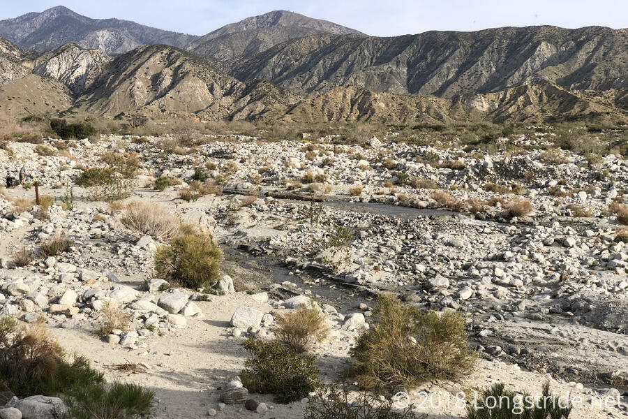
Thanks to the warm temperatures, I was actually able to get up before sunrise, and after the half-mile walk from the Whitewater Preserve to the PCT, I was back on the trail by 7:30.
The trail continued a slow climb up to the crossing of the Whitewater; although at times the river could be wide and deep enough to require getting wet to cross, now it was fairly low, and I was able to find a few well-placed stones in the river to cross with.
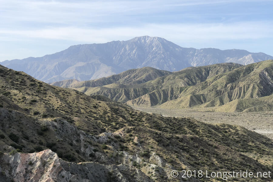
After crossing the Whitewater, the trail seemed to meander around aimlessly, gradually gaining altitude as it weaved through the mountainsides. Both San Jacinto and San Gorgonio were visible, and the different perspective on San Jacinto from yesterday gave a new appreciation for how big the mountain is.
The trail then dropped down a bit, to its first of many crossings of Mission Creek. I stopped there in the half-shade to take a break from the sun, and after awhile, decided that this would be a fine point to have dinner: shade, easy access to water, and the start of a long uphill. Better to eat food now than carry it uphill all day just to eat it tonight. Many of the hikers from yesterday’s group stopped to have lunch at that spot as well.
We stayed there for quite some time; I think I got there shortly after 11, and I didn’t leave until almost 1:30. But, we got to sit out a good portion of oppressive sunlight, which coupled with warmer temperatures today were sapping our strength.
The afternoon featured a mostly gradual uphill, as the trail traveled roughly north-northwest, vaguely following Mission Creek, and crossing it at least eight or ten times. There wasn’t a whole lot in the way of particularly interesting views, as the trail slowly climbed out of the canyon it started in, a mountain in the distance slowly growing larger.
Around 4:30 or so, Patch and I made it to the campsite at mile 232.1, a modest 13.6 miles from the Whitewater trail junction. One of the logistical challenges for today and tomorrow is the potential for a long water carry tomorrow, coupled with a possible camping prohibition of uncertain length. The best possible outcome would have been to go another mile for water, and then camp another 2.5 miles past that, shortly before the camping prohibition (which could be either 4 miles, or 16). But, we knew there were at least six or seven people ahead of us all aiming for that campsite, which only appeared to have space for three tents, so it seemed a bad idea to push further. Also, we were hot and tired, and the sun had been mean to us all day.
As the sun sank behind the mountains, we started to gather quite a number of hikers here. Besides Patch and myself, there were Bob Dog, Hopper, and Magnet; Quoi and Dylan (whom I first met coming down San Jacinto two days ago); and Sunny and Pacer and their dog Deeds, whom I last saw in Warner Springs.
Tomorrow is going to be interesting. There’s a burned area up ahead that might be closed (or at the least, impacted) by a fire closure, but we’ve had a hard time finding clear information, especially since there’s been no cell service since we went out of range of I-10, so we can’t look for more updated information. My plan is to get up as early as possible and get as far as I can before the sun becomes too oppressive.
After sunset, when I made one last trip down the trail to water a bush, I saw a bright light reflected on the trail. As I got closer, it looked to possibly be a gem attached to a necklace or bracelet. Closer still, revealed a coiled shape and a tongue flicking in and out. I turned around, deciding it would be best to water a bush in the opposite direction.

