A much nicer and incredibly varied day saw forests, wetlands, and sandy trail through heathland, in addition to the usual Pieterpad staple of farm and towns.
it was cooler overnight, but there were no mosquitoes in my tent, so I slept much better.
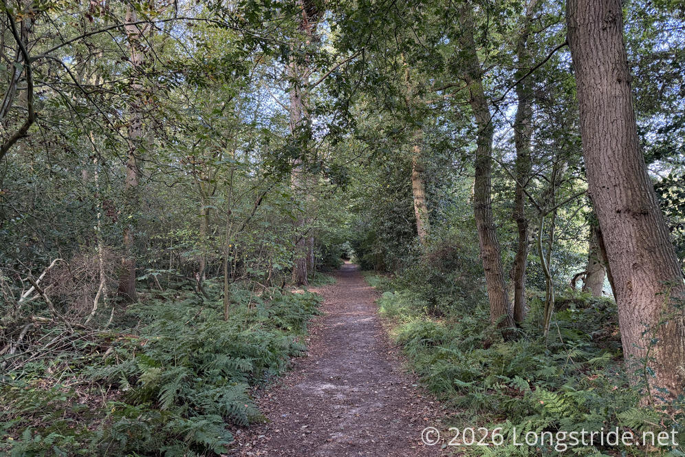
Setting off from Natuurvriendenhuis De Hondsrug, the trail continued along a very nice forested path, setting the tone for the day.
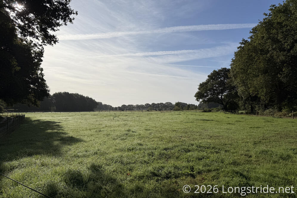
Unsurprisingly, the trail went by plenty of farms and pastures. I guess it’s kind of what you do when you have lots of flat land.
The forest trail, and follow-up sandy backcountry road didn’t last very long. Before long, I was on a gravel cycle track, and even that didn’t last more than ten minutes before I was back on paved roads.
Crossing through the town of Midlaren, I passed a house when a sheep in its yard; it bleated at me, but only when I wasn’t looking at it.
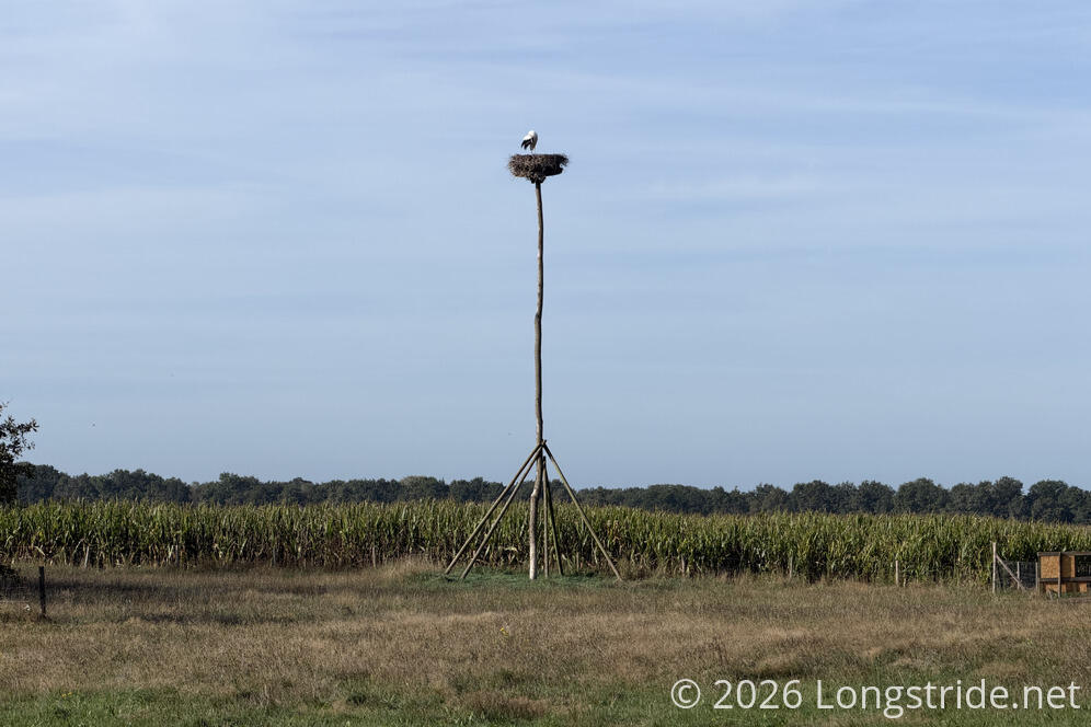
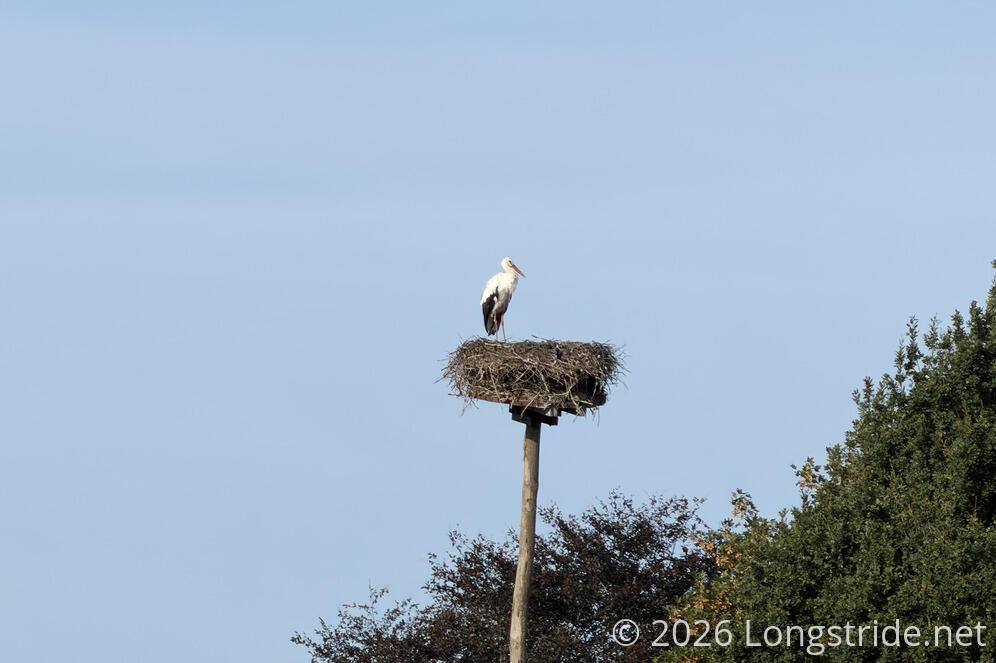
Shortly after, I passed a stork’s nest on a tall platform. I think this is the first time I’ve actually seen a stork in one of those nests.
The trail turned off the paved road, onto a dirt road between fields. For the first time this trail, I had to go around a puddle that covered the whole road. Fortunately, someone cleared a path to the first row of the field next to the road, so I didn’t have to walk through the puddle. (Clearly, this puddle was a regular feature of the road.)
In Zuidlaren, I had to make a tiny detour because a construction crew was installing new water or sewer pipes, and had dug up the road I was meant to walk down. Later, I saw a dog in someone’s driveway literally chasing its own tail.
I passed the grocery store I meant to do a small resupply at; despite the very clear “entrance is around the corner” sign, I somehow got the impression from the side of the store that it was not yet open, and continued on, expecting there’d be another grocery store later in the day.
Once out of town, I was quickly under tree cover. Then just as quickly, I was out of tree cover, walking along the eastern outskirts of Westlaren, which had an enclosure with several sheep, deer, chickens, and a peahen happy to interact by the fence with a family and child, and a billy goat standing off by a tree who very much did not want anything to do with the people.
I also passed several buildings and a sculpture dedicated to the town’s World War II history, as part of a larger walking tour of the area. I opted to stick to the Pieterpad. (Not knowing Dutch yet, reading very wordy signs detailing the history is rather onerous through my phone’s translation app, but at least it’s possible.)
Leaving Westlaren, I was quickly along another nice forested path. I passed a campground immediately off the trail, as well as a B&B. It’s nice that the Pieterpad has become established enough that there are places to stay basically immediately on the trail.
I stopped for a break at a nice bench shortly before today’s major decision point, and noted the number of acorns that were falling. I won’t be surprised if one falls on my head before the end of the trail.
Today’s major decision was whether or not to take a high-water route around the Schipborgse Deip (the local name for the Drentsche Aa). The trail’s website says the area ahead is often wet, and if the river is too high, the route is impassable.
Fortunately, as noted by a depth gauge at the decision point, the river was half a meter below the level at which the trail is blocked. So I continued on, prepared for wet feet since there’d been recent rain.
The trail largely routed through a narrow forested path between fields and wetlands, but despite the warnings of a wet trail, the only water not in the river was in a pond in the marsh.
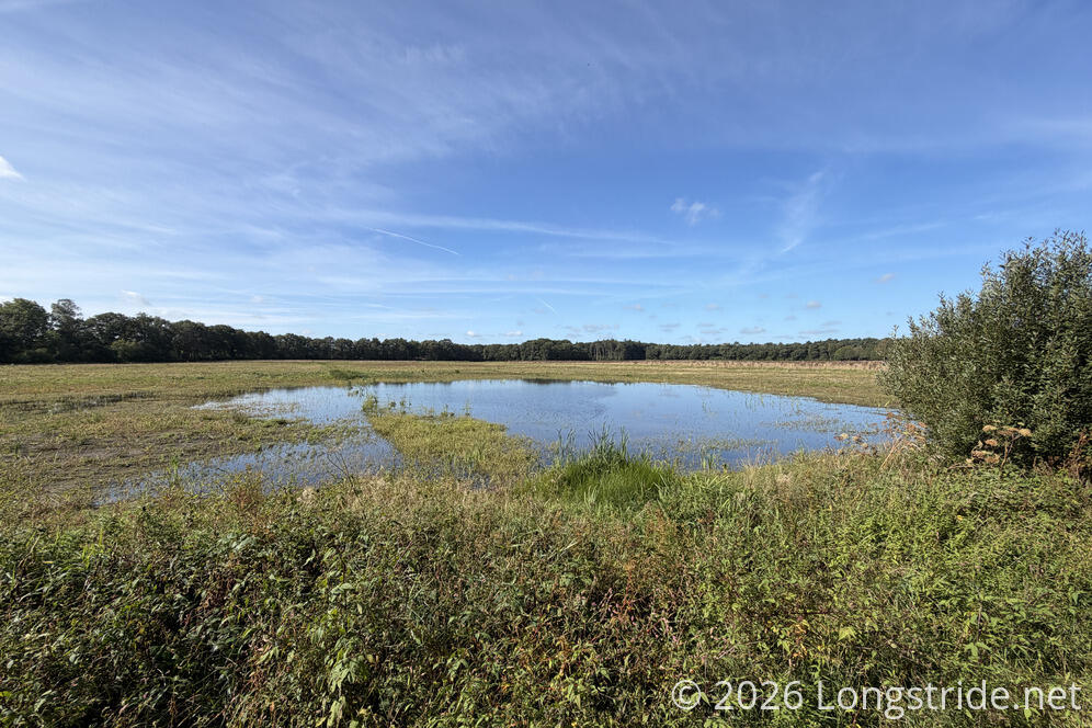
Since the trail website suggested the crossing would Be impassable, I expected to see stepping stones to get across. Instead, there was a bridge high enough to not have a problem if the river flooded, making me wonder where exactly the impassable spot would have been.
I crossed the bridge and continued through a more substantial forest, which then yielded to a boardwalk through wetlands.
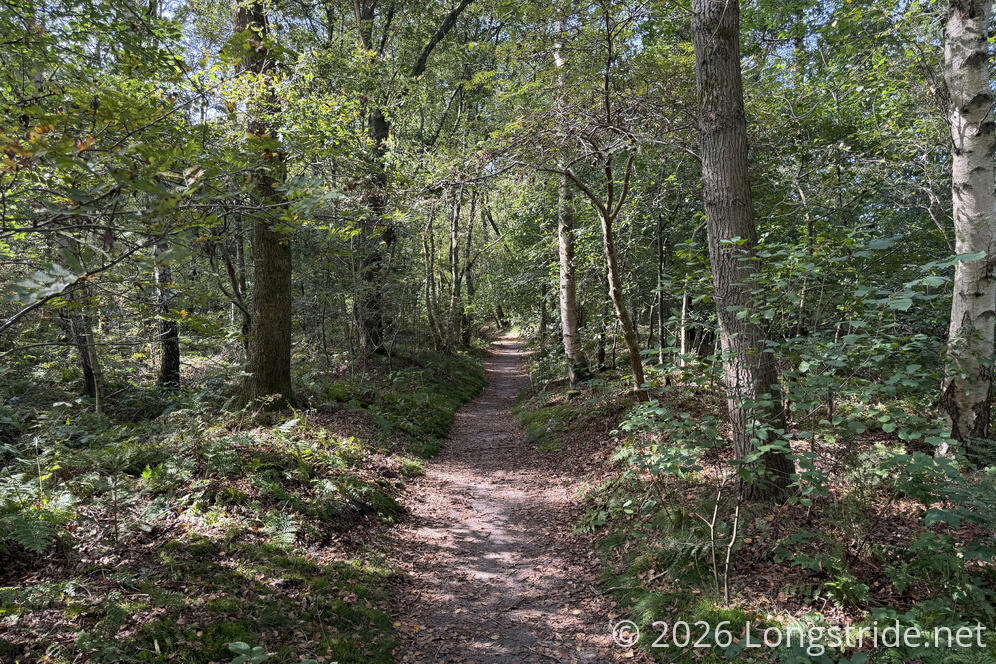
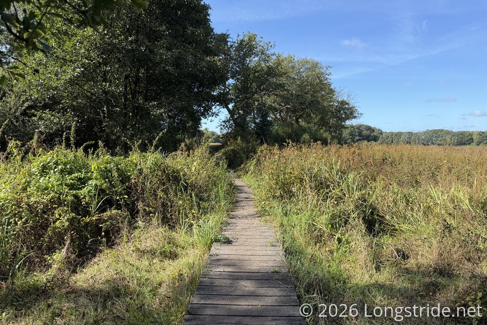
The Pieterpad entered a nature preserve, and the landscape immediately completely changed. Rather than forest, there was now heathland, dominated by a short purple-flowered shrub.
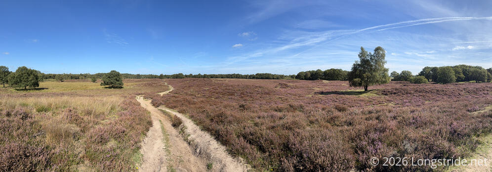
This was not the landscape I expected to see in the Netherlands.
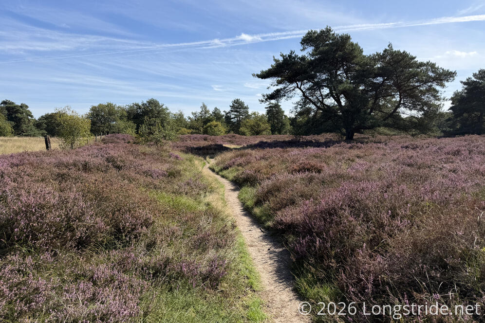
Exiting the heathland, the trail made a quick jaunt through the tiny town of Gasteren, and then followed more narrow forested paths, this time with sandy trail.
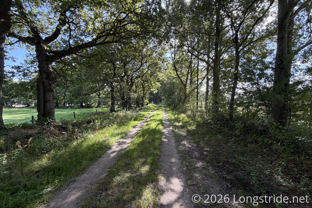
Passing through a parking lot for the Drentsche Aa National Park, the trail entered another scenic heathland.
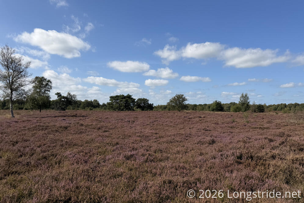
I’d seen some walkers and cyclists throughout the day, but I saw most people today in this part of the National Park, including several dog walkers.
Through much of the area was a wide, soft sandy trail, which was annoyingly slow and tiresome. It didn’t help that it was treeless as well, so with it being a vaguely warm day, the sun exposure didn’t help, either. What did help was that for at least some of the time, a small harder path cut through the heath just above the main path, and I could maintain my regular pace there.
Towards the end of the heath, a ring of large rocks was set around a central, taller rock. If there was a sign indicating what it was for, I missed it, and the inscription on the plaque on the center stone didn’t make any sense to me, except to say something about Pietersberg and Pieterburen.
The sun and sand were quite tiresome, and once I could find a suitable spot in the shade in a forested area, I stopped for a break, the first time this trail I actually have had to sit on the ground. During this break, I saw one of the dog walkers I saw when I entered, apparently doing a very long loop through the park with her dog.
I was glad I took the break when I did: shortly after, the trail joined a paved road through Rolde, and then there was really no place to sit down. (Well, there was a cafe that would have worked.)
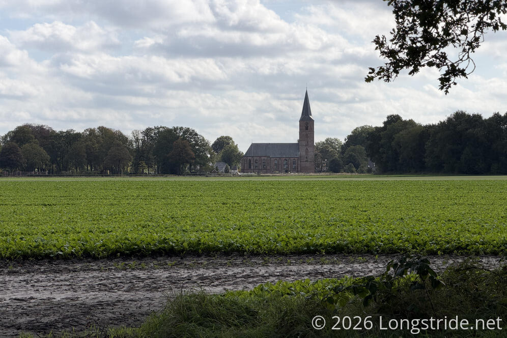
On the way into Rolde, the town’s church rose prominently above the fields to the town’s north. One of those fields seemed to be growing grass so well manicured it could have been a golf green.
Cutting across the northernmost part of town, the Pieterpad cut through Rolde’s cemetery. Seemingly so it could continue in a straight line to the nice cyclepath that started directly opposite the exit to the cemetery.
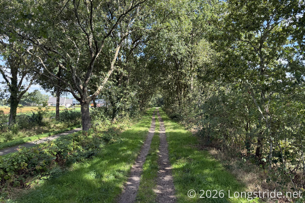
While on the path, I spooked a quail that flew away and towards a canal in a field, but flew straight into the barb wire fence marking the edge of the field, and fell back into the brush. I’d often wondered if birds flew into fences; I guess the answer is yes.
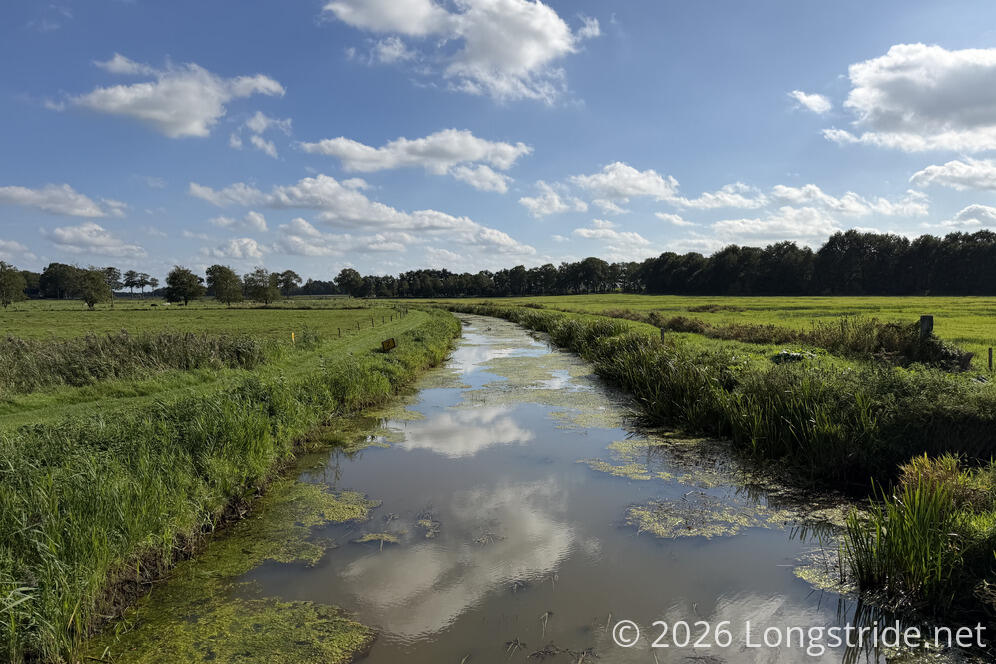
I got one last nice view crossing the Rolderdiep, and shortly after, I turned off the trail, entering the adjacent Landgoed Tolhek (Tolhek Estate), a proper car campground.
I quickly made my way to the reception to check-in, found my tiny cabin, and got situated. At that point, I realized I forgot to go into Rolde to go to the grocery store to resupply. Fortunately, after tonight, I still have a dinner and (barely) enough snacks to make it to a grocery store the day after tomorrow, but it did mean I had to order breakfast with tomorrow’s tent site. Which is fine, because it’ll be better than the cereal I would have had anyway.