On an often nice, though occasionally rainy day, the Pieterpad continued winding its way around fields and canals (and through the occasional forest), as it continued to make its way south.
It was bright and sunny this morning, a much nicer start to the day than I’d expected, though rain was forecast for this afternoon. I got my tent reasonably dried out before leaving, thanks to the sun and a light breeze.
After a nice breakfast at Ergens bij Eva, I finished taking down my tent, and it took a little less than fifteen minutes to return to the trail.
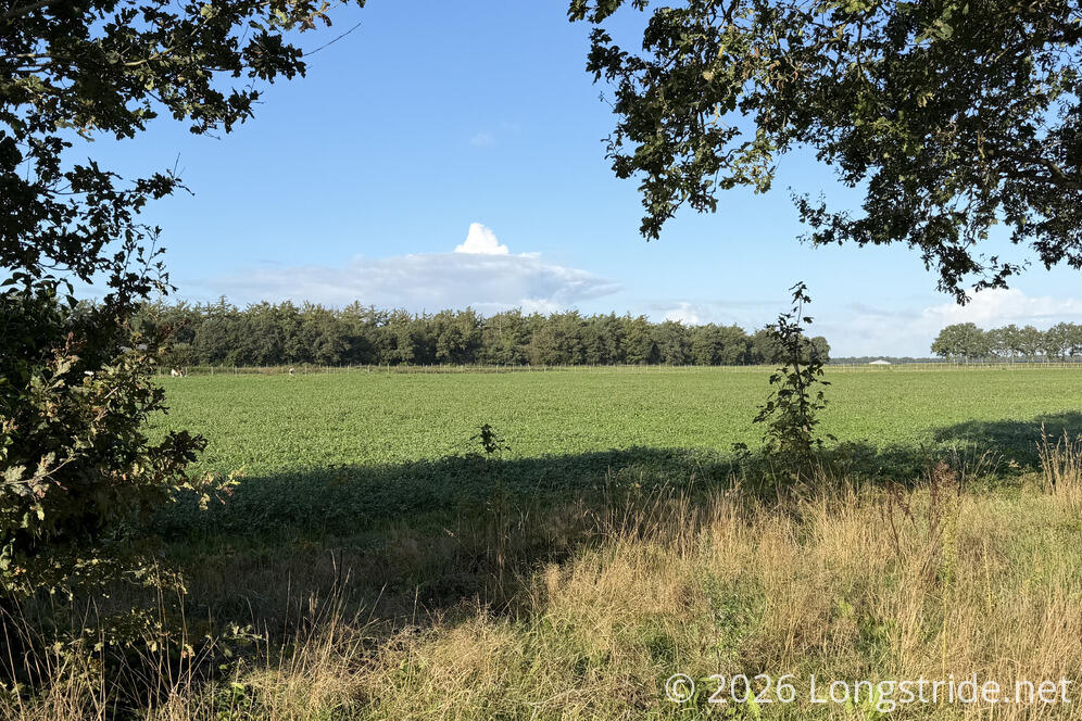
Naturally, the trail started off doing what it does best: follow a trail, and then a road, along the edge of a field.
As I passed by the entrance to a farm, a pair of horses stood in a pen, with a sign reading “I bite”.
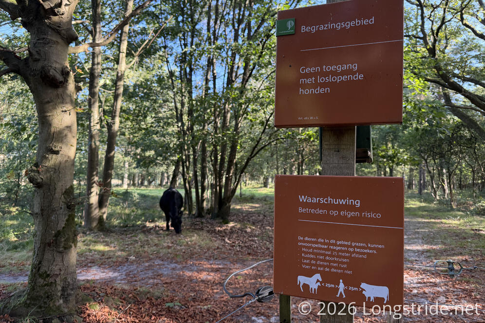
A little later, the trail passed by a small pond, and then went through a gate meant to keep cows contained. A sign requested to stay 25 meters away from the cows. A cow didn’t seem to care, and hung around near the gate, chewing grass.
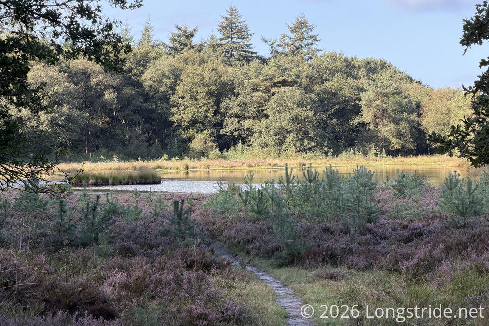
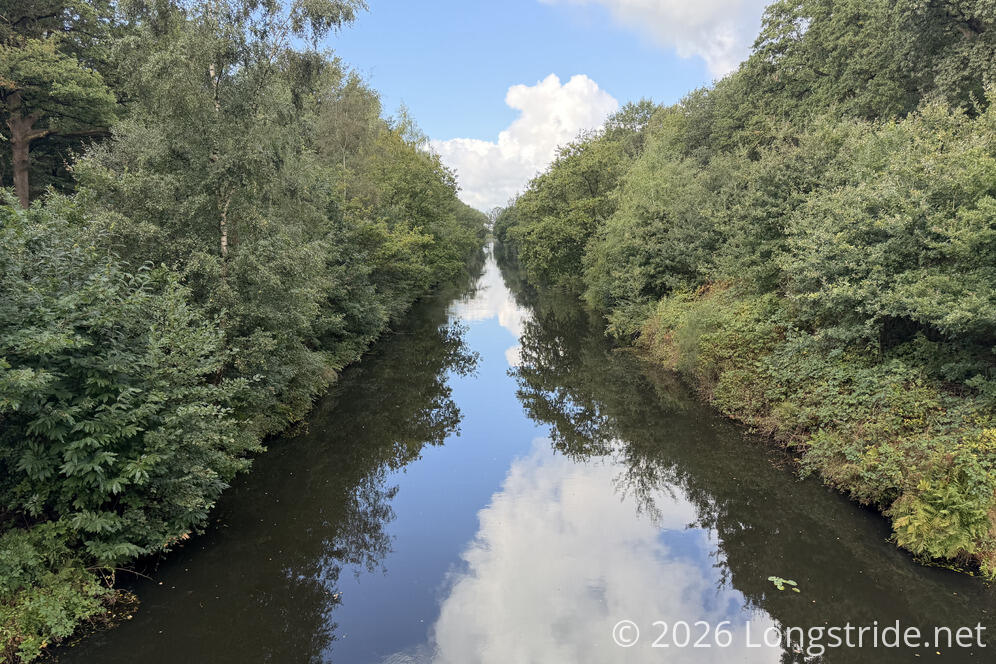
After getting away from the fields, the trail began following one of many, many forest paths and cycle tracks. I saw a fair number of cyclists, and a few people walking, as well. And, of course, it wouldn’t be the Netherlands without crossing a canal.
The forest gave way to another pine plantation, and I briefly stopped at a bench at a small pond for a break, during which I confirmed my stay at a B&B tonight.
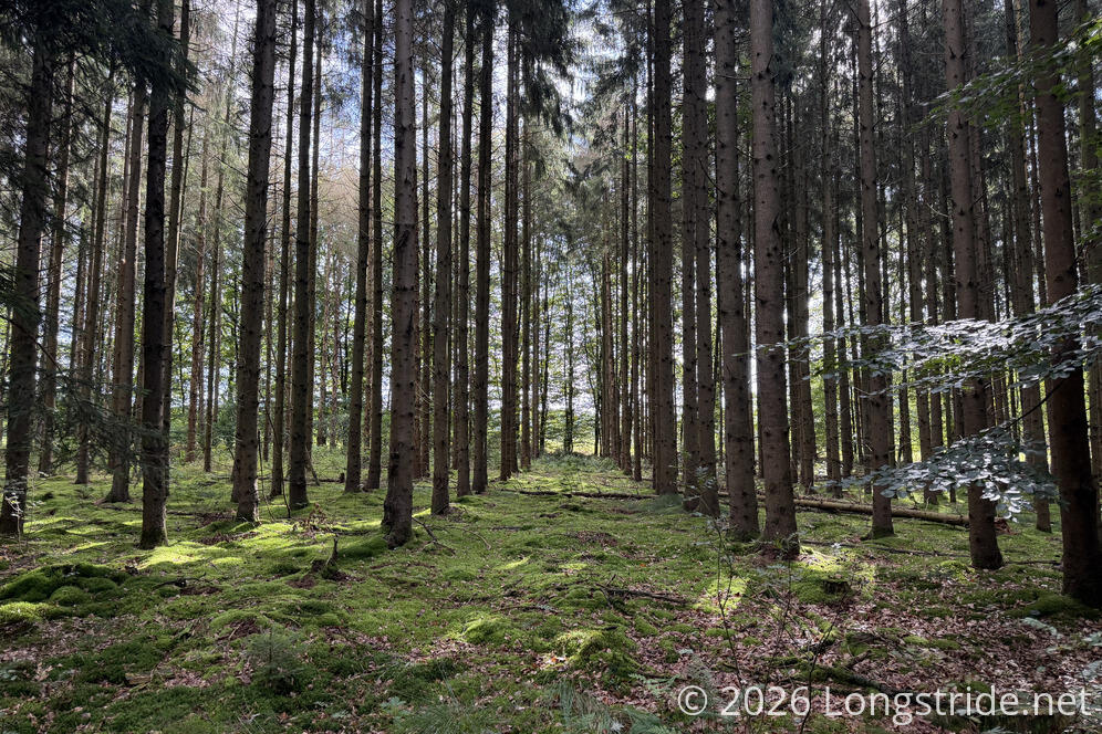
During my break, a group of four people passed, two of which had large umbrellas, a prudent choice given the weather forecast.
The trail continued on what seemed like the access road for the pine plantation; part of it was chewed up pretty bad by the treads on some large tires.
It started raining, light at first and then harder. I wished I’d put on my pack cover while I was at my break, rather than stopping briefly to get more wet. After I continued, I passed a pair of women huddling under a plastic sheet to stay dry. Which worked, I guess? I kept going; the trees were going to have to provide whatever cover, because I still had a long way to go. That said, it rained for not even fifteen minutes, so it wasn’t really that bad.
The trail passed a large Pieterpad sign with a trail map, I think the first I’ve seen on the trail so far.
The trail stayed in the forest for a while, slightly protecting me from a quick rain burst, and then joined a concrete cyclepath and left the forest, once again traveling between two fields.
This part of the trail is also part of both a Van Gogh cycling and hiking trail. (I suppose I shouldn’t have been surprised that one existed.)
The biggest problem with the cycle paths is there aren’t very many benches along them, especially the concrete ones, which are the hardest on the feet.
Entering the town of Sleen (and thus, more paved roads), I grew more concerned there wouldn’t be a good place to sit down and take a break before I reached the grocery store to resupply. Fortunately, I found a bench in the middle of town, next to the church.
I struck up a conversation with a woman sitting next to the bench, in a wheelchair. She was waiting on her husband, who was somewhere behind me — probably one of the people I’d passed after my prior break before it started raining. He’s also planning to hike the whole Pieterpad, though over the course of many sections, and several years.
The grocery store had a somewhat cute cleaning robot that was sweeping the aisles, but it was just big enough, and just slow enough, to get in your way and be a nuisance.
The grocery store was perfect timing: it had just finished raining when I checked out, though a light drizzle resumed shortly after I was on my way out of town.
With more roadwalk ahead, but lodging for tonight secured, I decided I was going to take the rest of the afternoon a bit slower; I have a blister growing on one of my toes, and that would help to aggravate it less.
Leaving town on a fine (if asphalt) cycle path, I missed a turn by about 350 meters. Turned out that I missed the trail marker because I was distracted by avoiding a large puddle on the sidewalk. I’d considered trying to keep going down the road and reconnect with the trail further down, but it looked like the only route would have been too far out of the way.
So I went back, made the correct turn, and kept going, leaving town again and passing the campground that would have been my alternate stopping point for today if I couldn’t get the B&B I’d booked.
The trail went past the end of the road, and into a forest between fields. If I’d been worried about walking too fast on the road, that was not a problem here: the trail was narrow, and often waterlogged, so keeping my feet dry took care of the monotonous flat trail problem.
After a bit, a trail came in from the right, and I realized I should have zoomed in on the map closer. There actually was a trail that went from further down the (first) road out of town, and I didn’t need it backtrack at all.
The trail briefly followed a duckweed-filled canal, then turned and joined another asphalt cycle path to follow another canal.
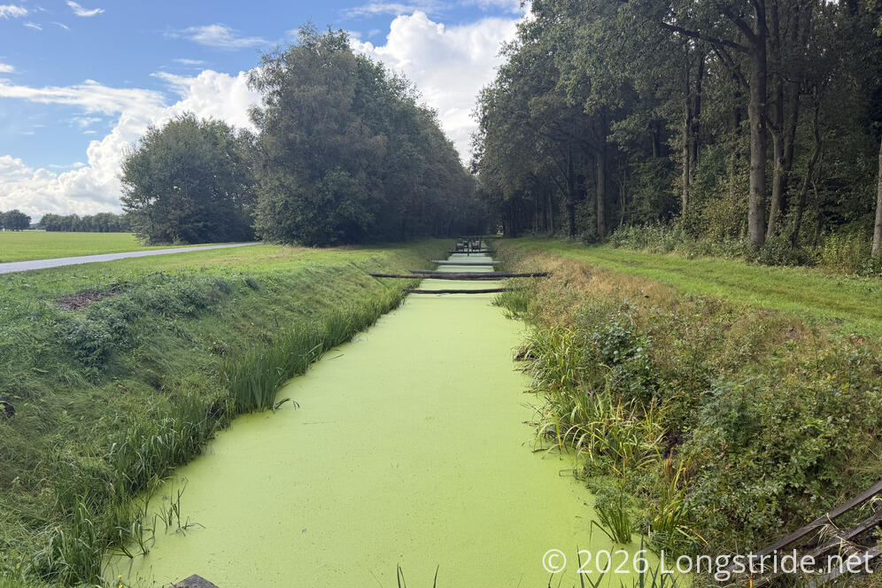
I passed a stand offering free apples; I’d have taken one if I hadn’t already picked up a package of apples from the grocery store.
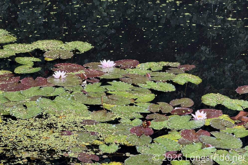
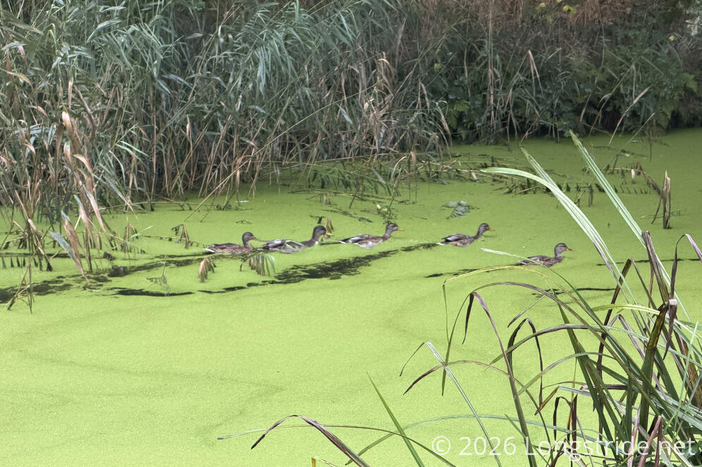
This canal was a bit more lively than the last; there were a few places with flowering lily pads, and a fair number of ducks swam around the canal, leaving trails in the duckweed as they passed.
It began raining again, somewhat heavily, which eventually caused me to misread the trail makers; a “turn left” arrow was, somehow, supposed to mean “just a little bit, then turn immediately right down a dirt trail that parallels the opposite side of the canal you’ve been walking along”. I presume there was a marker at the dirt trail, but I certainly didn’t see it.
So instead of switching sides of the canal, I went down a side road just far enough for my map to tell me I was going the wrong way. I doubled back, couldn’t make sense of the marker, and just trusted my map and went forward. (If my phone hadn’t been wet, I might have been able to zoom in and see the trail jog to the other side of the canal.) I only realized there was a trail there when I reached the end of the road and turned past the end of the trail. (And also past a woman sitting on a chair fishing in the canal, in the rain.)
The rain let up, and now following yet another canal, I crossed it three times, over three drawbridges. (The side of the canal the “main” road was on kept switching sides. So it was great to not be on the main road, but it still didn’t stop large farm vehicles from thundering past.)
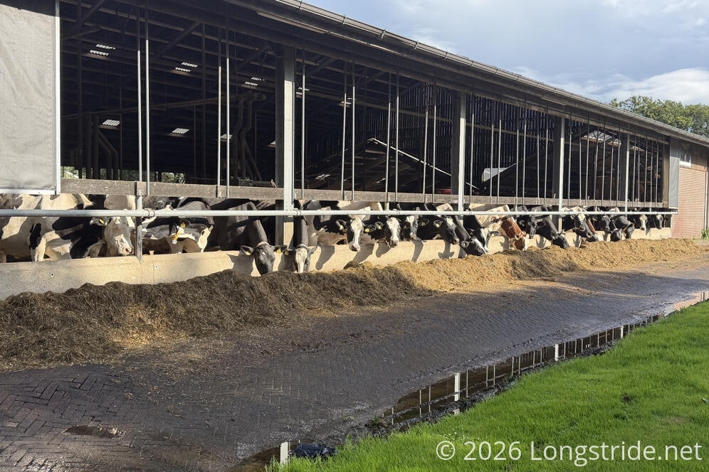
The clouds cleared a bit and the sun came out, making it almost too bright out, as the sun’s glare reflected off every wet surface. Circling around more farms, and a cow feed lot, I finally made my way to Dalerveen, where I had a booking at B&B De Druiventuin.
It was a decent place, the upstairs floor of a guy’s house, remodeled to work as a guest house, though with a somewhat weird layout. (Entrance from the outside is through one bedroom, into the living and kitchen area, with a second bedroom and the bathroom hanging off that.)
Weird though the layout may have been, it was warm and dry, and I put the heated towel rack to good use as a makeshift clothes dryer to dry out my somewhat wet clothes.