After more great ocean views and a tiny resupply, we took a ferry across a river and prepared for two more river crossings tomorrow.
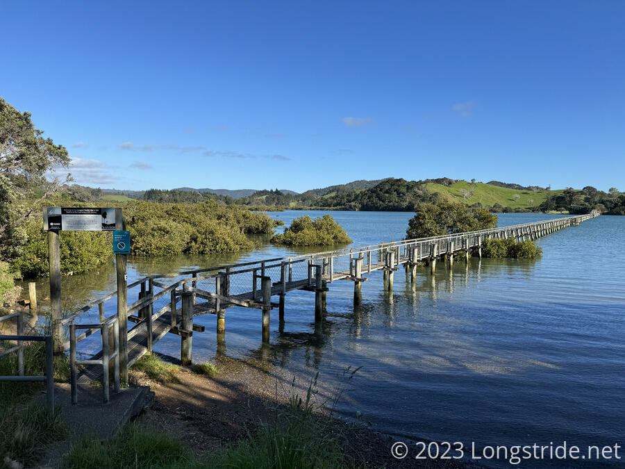
Leaving the Whananaki Holiday Park a little later than we’d planned, CareFree and I started off by crossing a 395 meter long footbridge across the Whananaki Inlet. Built in 1947, originally to allow schoolchildren on the south shore to attend school on the north shore, the bridge is the longest footbridge in the southern hemisphere, linking the two sides of the water by a short path instead of a 12 km drive around.
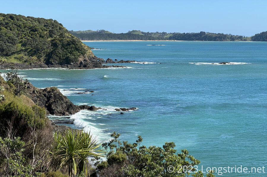
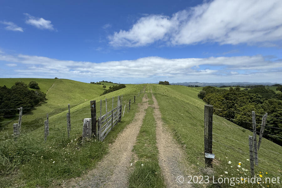
Now on the south shore, we continued along the Whananaki Walkway, a series of dirt roads that brought us up above the ocean, with fantastic views down to the shore.
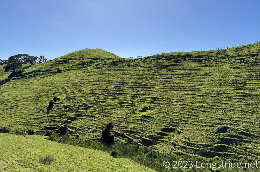
We passed a number of spectacular-looking homes with equally spectacular views, before the trail took us into farmland. We looped around a steep valley, where one side had been heavily terraced by roaming cows.
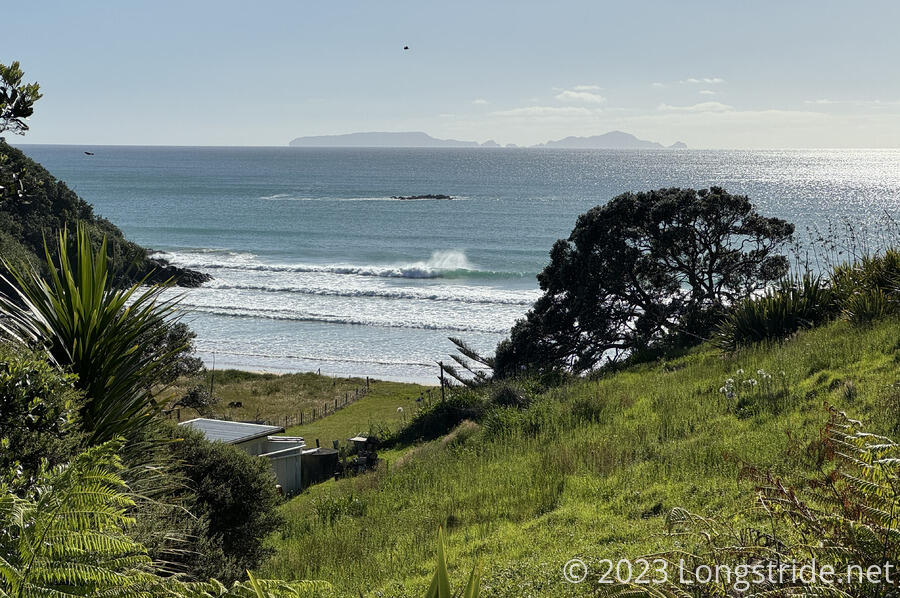
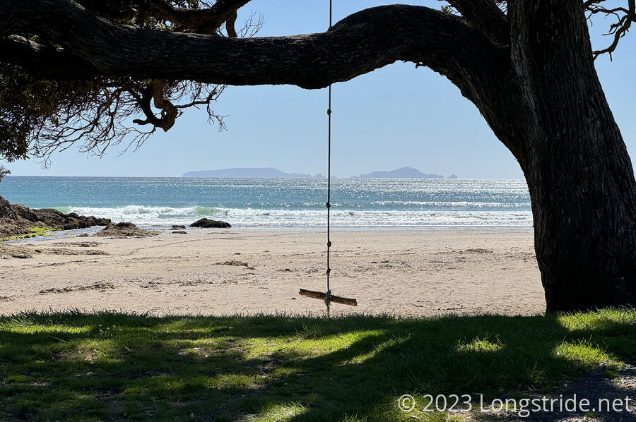
Leaving the walkway and joining a gravel road, we stopped at a picnic area with a swing hanging from a very nice shade tree, overlooking the ocean. For the first time, we saw people surfing in the water.
We continued along paved roads for another couple of hours, climbing up a long but gradual incline. We stopped for a break at an intersection where the trail turned off onto a gravel road. We got there at the same time as a couple and their small child, who had ridden down the hill on bikes to check the mail, and we had a short chat with them.
The gravel road continued a climb, past houses and up to a ridge and along farmland. Earlier in the day, we’d felt a bit of time pressure to get to Ngunguru in time, but since we’d been making good time so far, we were able to be slightly more relaxed on pace through the afternoon.
The last bit of the walk to Ngunguru was on the “Old Carriage Road”, a roughly 5 km track, some of which was dirt and gravel off-road trail, which was very nice and shaded. The latter half, though, was back on paved roads.
We arrived in Ngunguru around 2, with plenty of time to do our resupply before our 4 pm ferry appointment. We let James know we were in town.
I got ice cream and a soda, and then slightly refreshed, did my food shopping at Ngunguru’s small general store, for two days of food to our next resupply opportunity in Ruakākā.
Darien arrived, confusingly proud that he “made it” to Ngunguru, even if he “cheated”. After he exploded his pack in front of the general store, the rest us (including Peter and Susanna, and Fraser, a Kiwi we’d just met) left for the river crossing an hour early, which James was able to accommodate.
Along the road, a short pier brought us to the riverbed, now at low tide, and per James’ instructions, took off our boots and walked across the dry riverbed to the edge of the water. My feet, already hurting from the roadwalk today, did not appreciate being shoeless with the shells embedded in the sand, and it hurt to walk at more than a slow pace.
It took two trips to ferry us across — his small motorboat could hold three of us at a time — but it took less than five minutes to get from shore to shore.
James’ place was quite nice. There were a couple of large flat grassy areas to pitch tents; a kitchen and common area; a pair of showers; and a pair of restrooms. There were also several cabins, which we did not use, but which were available for rent.
In the common area, a large map of the trail for the next two days was a main feature on the side wall. James gave us a detailed presentation of what we needed to know to cross the Horahora River tomorrow, including when to leave here (around 12 pm to get there in time for our low tide window) and also when we should get to the Taiharuru River (no later than 4 pm) to still be within the low tide window to pass through that stretch of “trail” as well. Both crossings involve a mangrove swamp on the far end, so James also advised collecting river water to wash our feet once we made it through. (Fortunately, I’d bought two bottles of soda in Ngunguru, which can be repurposed for that once they’re needed.)
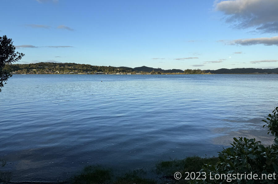
Afterwards, we conferred with Peter and Susanna, and decided that a longish day tomorrow would set us up well for getting to a free campsite at Reotahai Bay, next to Whangārei Harbor, where we will need to arrange for another ferry across that body of water.
Deciding on a bit of a simpler dinner because I was tired, I cooked two packets of ramen with two packets of tuna. It was good, but still somehow turned out to be a little too much food.
Later, Jess and Chris arrived after being ferried over. Darien had tried to cross with them, but James prevented him from coming — Darien hadn’t properly arranged his ride in advance (despite clear instructions to do so), so James didn’t have enough life vests, and declined to make an extra trip just for him.
For the first time since Ninety Mile Beach — two weeks ago — I don’t recall pulling sand out of the hip belt pocket on my pack where I typically keep my phone. Hopefully it really is all gone. (Sand gets everywhere, though, so probably not.)
Tomorrow’s going to be an interesting day. We have two river crossings tomorrow, and because of the tides, we’re time-limited on when we can start, and thus, how far we can make it tomorrow. We have an option for a campsite between the two rivers, but hopefully that won’t be necessary.