A short day became a long day as we abandoned our planned route for a “safer” option.
We got breakfast at the restaurant next to our motel, the Grub Up Cafe, which seemed to be under new management. We got pancakes and eggs; the food was quite excellent, though we thought the portions a little small.
CraeFree and I left town a bit late, shortly after 9 am, because we expected to have a short day 20 km day today. It didn’t turn out quite like that at all, though.
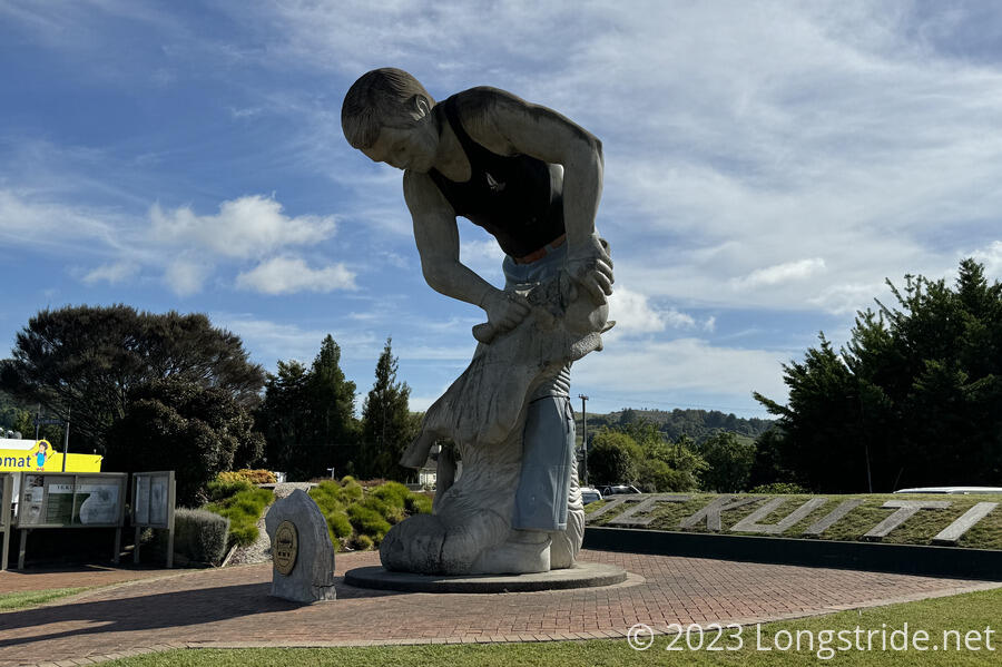
On our way out of Te Kūiti, we passed a statue to its self-proclaimed title of Sheep Shearing Capital of the World. A sign pointed down the highway 54 km to the Timber Trail, a cycling trail we’ll begin the day after tomorrow.
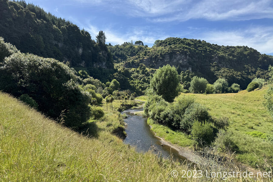
On the outskirts of town, we left the main road, taking a dirt road going through an industrial park that led us to a trail along Mangaokewa Stream. We followed the stream for about 3 km, before we stopped for a quick break because CareFree’s shoulders were hurting.
After a bit of a discussion, we decided to take advantage of the only bail-out point on the stream track and road walk the rest of the way today. Although the trail to this point had been fairly nice, given the trail reports by other hikers, and our prior experience on the trail, we’d somewhat lost confidence in the TA’s routing. We’d probably be okay if we continued along the stream, but there seemed a high likelihood the trail would be unnecessarily frustrating, if not outright dangerous.
Taking the road would add 5 km to get us back to the TA, a few kilometers past the shelter we were planning on staying at. We’d have to make a decision on what to do there — either backtrack to the shelter, or push forward with no obvious nearby campsite opportunities — but that was a problem for when we actually arrived at that intersection.
We crossed a bridge over the stream and followed the road out of a park to SH 30, which we’d hoped wouldn’t have much traffic on it, lest we regret our decision to abandon the trail for a busy road. The road wasn’t busy, though, and while there wasn’t much of a shoulder, what was there was fine for the level of traffic.
We walked along the road for an hour, then stopped for a break. Expecting a shorter day, CareFree realized she didn’t have sufficient water, especially now that we were walking along a road with little shade. Fortunately, we stopped across from a business of some sort (there was an “open” sign), so she took her water bottle and asked if she could get some water, coming back with her bottle full of ice water. (The business was probably a front for a farm, since they had free-range eggs for sale.)
We continued along SH 30 for most of the rest of the day. A guy stopped on the road to ask us how far we were going today. We told him (where we had planned to go), but he didn’t seem to know where that was. Which was fine, because we thought he was weird.
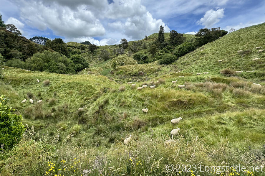
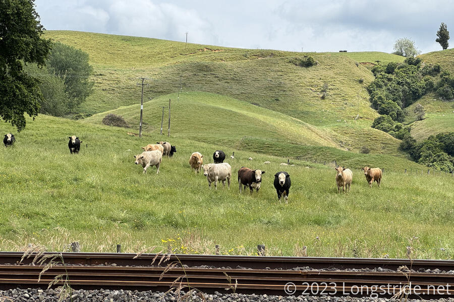
We passed numerous cow and sheep farms, probably about a 60-40 split. One of the bull farms we passed had a few bulls that were fighting; they stopped fighting long enough to stare at us as we passed.
Around 4 pm, we finally turned off SH 30, joining a smaller road with nearly no traffic that wound its way through more farmland. We eventually returned to the TA at 4:30, and stopped for a break while we considered what to do.
From where we rejoined the TA, the shelter we’d planned to stay at was 3 km “backwards”. If we went there, we would effectively add an extra 6 km, on top of the extra 5 km it took us to get to where we were. So we didn’t really want to go back. Going forward, we’d make today at least that much longer, but it wouldn’t be wasted effort. From our maps, it seemed like there was plenty of water, and dots that indicated buildings, so probably farm houses we could, if necessary, ask for water or a place to tent. So, we pushed forward.
The paved road turned into a gravel road, and where it had been devoid of traffic, suddenly, there were a lot of very fast cars speeding past and kicking up huge amounts of dust. One SUV, which nearly ran us over, was going so fast that they were almost fishtailing when they tried to avoid us walking along the side of the road. The last vehicle that passed us was towing a trailer that seemed to have a dead cow in it. Now about 5:30, we guessed that it must have been quitting time at a farm, and everyone was rushing home.
The road followed Mangaokewa Stream, but thick brush and steep slopes made it very difficult to get down to the water. Both of us low on water, CareFree began to get paranoid about water, checking at every opportunity to see if it was possible to get water, much to my consternation, since the constant stop-start was very much wearing on me.
My pack bladder eventually ran out of water while we were walking along in the still-hot sun, and I was sweating profusely trying to keep up with CareFree, who was only going as fast as she was because she thought I was trying to go fast. We slowed down a little.
I was willing to trust the map, that there would be water at a bridge crossing 5 km ahead; that’d take about an hour at the pace we’d been keeping. We eventually got there, but found there was no real access to the water; the bridge was too high up, and any path down was obscured by thick gorse, making it impossible to get water there.
More comments in our trail guide at the bridge suggested there was water and a toilet at a “woolshed” at the top of a hill. Lacking better options, we kept going, and found two farmhouses. Seeing that one of them had tons of cows in their front yard, and the one a little further had no cows, but a car in the driveway, we opted to try our luck on the second house, hoping that they’d have water and/or let us camp in their yard somewhere.
A tall, portly man who identified himself as “Snow” answered the door, and was happy to let us in to get water, and said we could camp “anywhere”. We happily took him up on the offer, and filled to the brim nearly every water container we had (10 L worth), just in case we couldn’t get more water in the morning. He then offered that he had to leave early tomorrow morning to go to work, but he’d leave the door open so we could get water or use the toilet. (He also said he often saw 20-30 people hiking past every day, which is far larger than the number of hikers we would have guessed were around us.)
I suspected we weren’t the first hikers to have knocked on his door, and I doubt we’ll be the last.
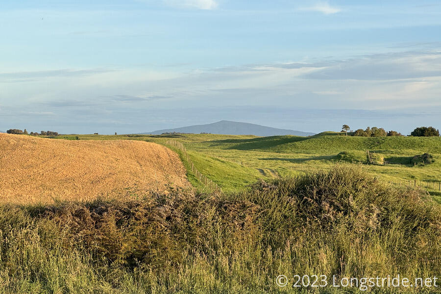
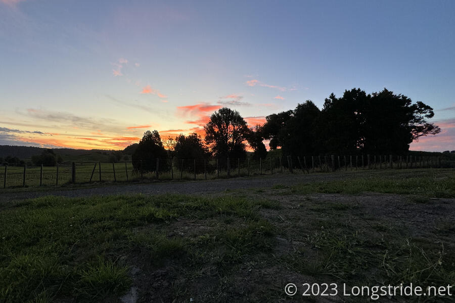
We quickly got our tent set up, and cooked our dinner to a fantastic sunset. Off in the distance, we could see Pureora, deep in the Pureora Forest, which we’ll summit the day after tomorrow when we hike along the Timber Trail.
We got lucky today. In retrospect, we probably should have swallowed the bitter pill of waking backwards to the shelter, rather than pushing on like we did. And I think we probably would have it it wasn’t for New Zealand’s culture to be friendly and helpful and the fact that we’d been explicitly told (by James, back in Ngunguru) to ask for help if we needed it.
Today wound up being our longest day so far, at 38.6 km. The extra 13 km from where we planned to be today will make tomorrow a much shorter day. Which is great, because tomorrow is going to be entirely on road.