Returning to where we left off yesterday, we finished our hike into Wellington.
We’d known the weather forecast wasn’t going to be stellar today, but that rain was forecast was really driven in when it started misting on our walk to breakfast.
We got breakfast at a fantastic breakfast cafe called Urban on Manners, which I’d discovered a block or two down the street from the hotel when we were in Wellington early last year. I’d decided then that when I was in Wellington for the TA, I’d revisit the place, since the pancakes (loaded with fruit and whipped cream) and waffles (loaded with fruit and mascarpone) were both excellent. (Neither dish is quite hiker-portioned, but that’s nothing a side of scrambled eggs wouldn’t fix.)
We caught the bus to Johnsonville conveniently a block down the road from the restaurant. 35 minutes later, we were on the side of the road in Johnsonville, with the rain and wind having picked up considerably. The first thing I did after getting off the bus was put on my pack cover, struggling a little because the wind was making it hard to manipulate a large flappy thing. (CareFree forgot her pack cover back at the hotel room. Oops!) With my pack nearly completely devoid of contents (I only needed it to carry water and snacks for today), the pack cover fit somewhat loosely, even when tightened as much as possible, and made no small amount of noise as it flapped in the wind.
We spent about five minutes trying to hitch a ride down the road back to where we left off yesterday, eventually deciding that we’d just have to walk the 4 km because no one was going to stop and pick us up in the rain. That took us about 40 minutes — it was nearly entirely downhill, and we were highly motivated to keep moving.
Back at our bus stop from yesterday, we took a short breather before picking up where we left off, heading uphill towards the observation platform near the summit of Mount Kaukau. We followed a road for a while, turning off onto the Skyline Walkway.
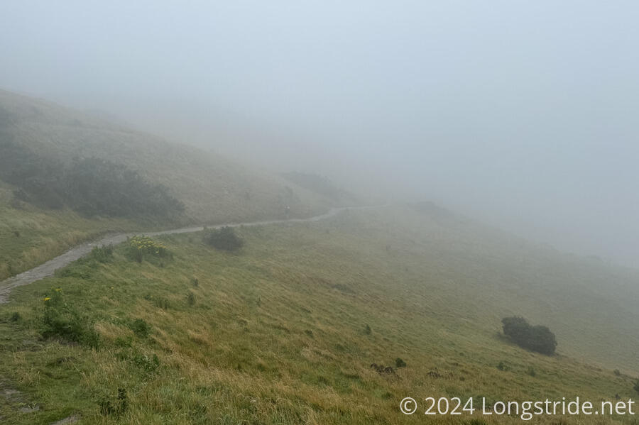
With the wind and rain, it was rough going. The wind made it hard to keep going in a straight direction, and eventually blew my pack cover off. (Fortunately, I’d tied it to my pack so it wouldn’t blow away, but after that, I took it off and stuffed it in my pack, since it wasn’t going to be useful if the wind kept up.) The wind and rain together made it hard to see; my eyes didn’t appreciate rain being driven into them, and CareFree could barely see at all between her glasses fogging up and rain covering them. Not that it matted that much, because we were in a cloud, and there weren’t any views anyway.
I expected based on the weather forecast that the rain would stop sometime around 12:30 - 1:00, so when the trail presented us the option of “steep gradient” vs “easy gradient”, I was quite happy to find that the TA routing picked the easy gradient. The switchbacks would probably take more time than charging straight up the dirt roads that criss-crossed the mountain, and they were forested, which helped keep the wind and rain off.
By the time we reached the viewing platform near the summit, the rain had largely stopped, but the wind kept up, and we were still in the clouds.
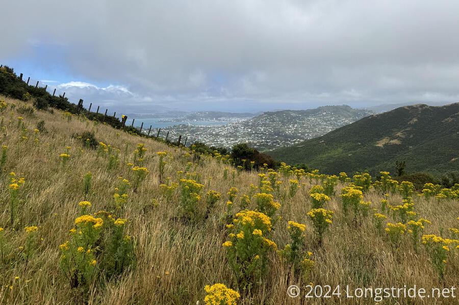
We kept going for another 25 minutes, before stopping for a break in a relatively wind-sheltered spot near a side trail that (presumably) went to a view. While we were there, the wind continued to blow, and we could see the clouds racing across the sky. Eventually, the clouds started to thin, and we could see the sun starting to peek through. As we were starting to pack up to continue, the clouds had lifted enough to give us some views.
The short trail did lead to a view, of Wellington. If we’d have been an hour later, we’d have had a spectacular view of the capital of New Zealand from the viewing platform earlier. We briefly considered going back for the view, but decided we’d gone too far; that would add an hour to today’s hike.
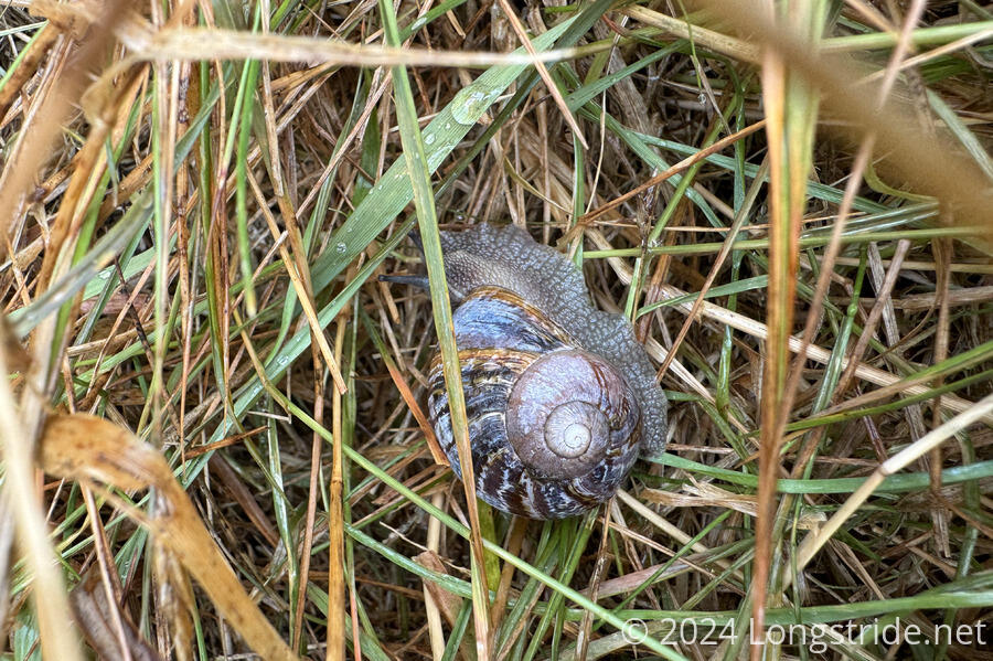
I saw a snail hidden in the grass almost on the trail; it’s lucky we didn’t step on it.
We continued along the Skyline Walkway for a little longer, then departed to join the Northern Walkway and exit onto streets in northern Wellington.
After a short time on the streets of Wellington, the Northern Walkway took us through Trelissick Park, which meandered along a stream valley. CareFree likened it to Rock Creek Park in Washington DC, also a wilderness park which follows a waterway within a capital city.
Another short jaunt through Wellington’s streets took us into the forest surrounding Te Ahumairangi Hill. Shortly before we left that forest, we got an excellent view of the Wellington central business district.
More streets led to Wellington’s Botanical Gardens, which the trail went out of its way to wind through. The trail in the gardens was unmarked, and we quickly got off-trail. Rather than backtracking, we just figured out a path to take us out of the gardens in the direction we needed to go. Which, apparently, meant going through another cemetery on the edge of the CBD.
We crossed over a busy highway on a bridge, passing more gravestones (which implied at least part of the cemetery was relocated to permit the highway’s route).
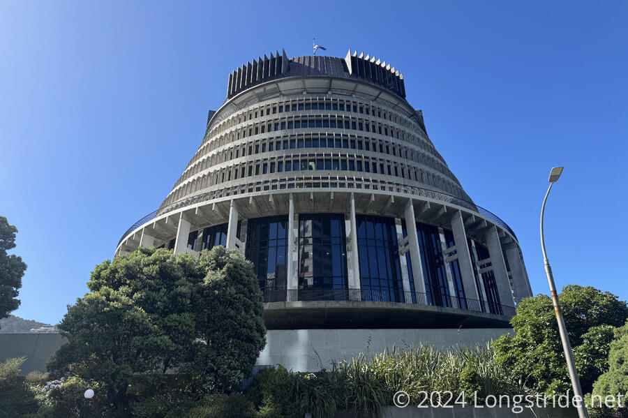
The trail took us past “the Beehive”, one of Wellington’s architecturally unique Parliament buildings.
That brought us along a rather busy street, with many Wellingtonians passing by and going shopping. We ran into one of CareFree’s former students, and also “Wild Turkey”, whom I’d met in the Tararua Range.
Leaving the TA for the day, we returned to our hotel, just a few minutes away, getting pizza from a pizza place less than a block from our hotel, and then taking it back to our room to eat there while we watched TV.
Tomorrow, we’ll finally finish Te Araroa on the North Island!


