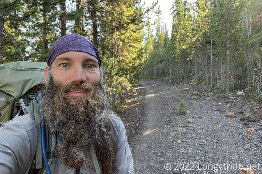
Leaving Yellowstone and Wyoming behind, I hiked into both Idaho and Montana, as I head towards my next trail town, West Yellowstone.
I left camp around 8 am, long after Fuck-It and Velveeta were gone. The trail led me into thick forest that was a bit encroaching on the trail. Fortunately, they weren’t very wet after yesterday’s rain, or brushing up against them would have been very not fun.
Less than an hour after I left camp, I reached the western boundary of Yellowstone, exiting the park and reentering a national forest (the Caribou-Targhee) for the first time in several days. I was a little surprised that there wasn’t an explicit sign marking the exit (or entrance) to Yellowstone, just a CDT marker located right past the border.
Past the park border, the trail was very nice; I think it used to be a dirt road, since it was clear where a road’s width of land had once been cleared, though half of it had grown back in. There were plenty of small areas adjacent to the trail when there were occasional voids in the regrowth that would make for good campsites. The campsites were a little further out from the border than I was expecting, so if I’d still been trying to get there yesterday like I’d planned, I’d have been a little worried along the way.
I passed Fuck-It, who was slowly hobbling his way down the trail. He said he was planning on bailing out down the Mack’s Inn Alternate, which bypasses West Yellowstone and shortcuts a dry stretch of trail. (Before the trail, I’d been considering taking this alternate, because it’s shorter and doesn’t require hitching into “town”.) He was still planning on meeting Velveeta and me in West Yellowstone tomorrow, though. He also mentioned it’s apparently illegal to hitchhike in Idaho, which may make it interesting getting in to West Yellowstone tomorrow.
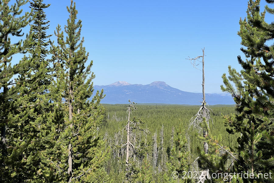
I had my first view in Idaho just a few minutes before I stopped at the junction where the Mack’s Inn Alternate departs from the CDT. Fuck-It caught up shortly before I left, and I bid him good luck as I turned off the road, heading downhill on trail.
My first impression of Idaho, reinforced by the first view, is that it’s a large pine forest. I know that’ll change, but, I’m not sure that I’ll be in Idaho long enough to see that change. Once we turn off the CDT to take our version of the Super Butte Alternate, we’ll leave Idaho behind.
After meandering through the forest on trail for a little more than a mile, the trail joined dirt roads, which it followed the rest of the morning, excepting a short trail to cut what would have been a long switchback. I passed Velveeta, who was taking a break and drying out his tent on the side of the road. A while later, I stopped on the side of the road for another break, having made fairly good time this morning.
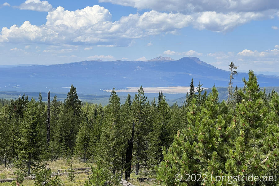
After my break, I began a very monotonous roadwalk, with the occasional view to the west.
The next two hours (and six miles) were completely uneventful, save for passing two people who were heading in the other direction on an ATV. I heard a “cheeseburger bird”, which primed my stomach for lunch in town tomorrow. I stopped for a break on the side of the road, about a mile and a half short of my goal, a creek a little off-trail. The ATV that passed me earlier passed me again coming back, and another ATV with three people passed just as I got started again.
Clouds blew in, and a nice breeze cooled the air a bit. The weather forecast called for light rain, which materialized as a light drizzle with the sun shining.
I reached a four-way intersection of dirt roads, turning down one of them to get to a creek, which was a lot further down the road than comments in my trail guide suggested. (People disagreed over whether it was a quarter mile or four tenths. It was four tenths.) The road was also signed for the “Great Western Trail”, which I’d never heard of before. Something else for later, I guess.
A small cairn on the side of the road marked a short trail to the creek, and I collected my water, and then began the newly torturous process of waiting for it to slowly filter.
While I filtered water and prepped for cooking dinner — figuring I could go faster with less food and water weight — Velveeta arrived, along with two southbounders from England, Sean and Adam. Here on 90-day visas, they were looking to hike what parts of the CDT they could, and then return home. One of them was then planning on flying to New Zealand to hike the Te Araroa (which is also on my list of trails to hike).
Sean let me borrow his Sawyer Squeeze to speed up filtering my water. Normally, I dislike the Squeeze since it’s a lot more work than my Platypus gravity filter, but it was still way faster than my clogged filter has been lately.
Velveeta left ahead of me. The majority of the day so far had been downhill; he was hoping to make it to the top of the coming uphill before camping. (With stopping to cook dinner, which actually went much faster than I was expecting, I doubted I’d make it that far.)
Returning back up the dirt road to the CDT, the sun, now low in the sky, cast long shadows, and the trees provided much shade. (At least, when the sun wasn’t directly aligned with the road.)
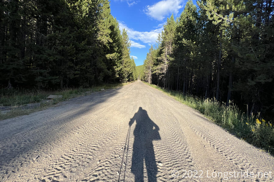
The road, quite heavily used as an ATV trail given the tire tracks in the dirt, was fairly wide and well-maintained, and was easy to hike.
Two and a half miles up the road, the trail turned off the road, and I entered Montana. Idaho’s not entirely over yet, but with the start of Super Butte only two days ahead, I’ve hiked almost the entirety of Idaho I’m going to get to, with the exception of a few small bits tomorrow and the day after as the trail roughly follows the Montana-Idaho border. I think this makes the distance I’ll hike in Idaho the shortest of any state on a long-distance trail. Which is unfortunate, but I may still come back later and fill in the gap in the official trail I’m leaving by hiking the alternate.
With starting today at the Wyoming border, and hiking through Idaho and now Montana, this is the first time on a long-distance trail where I’ve been in three states on the same day.
Leaving the road, the trail began climbing towards a ridge, gradually getting steeper as I went. Deciding that there weren’t likely to be usable campsites once the trail got too steep, I started looking for a campsite not long after departing the road, deciding to stop at the first viable spot I came across. That turned out to be on an impassable old dirt road just off the trail.
Tomorrow, I have a little less than 13 miles to go to Targhee Pass, from where I’ll hitch into West Yellowstone. If I manage to leave “early” tomorrow, there’s a chance I can get to town by noon.