As the temperature continued to increase, I diverted from my planned route, taking a shorter path to a road and hitching into Whitehall.
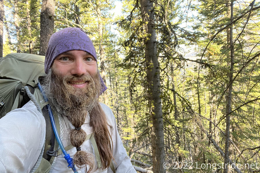
Despite getting up at around 6:30 and not having to put away my tent, I didn’t leave camp until almost 7:45. I was feeling a bit sluggish; probably I didn’t sleep well last night even though the weather was fantastic.
From the road, I joined the Rock Creek Trail, turning west, and began climbing a mountain by heading up a creek valley. A lack of signage (and the nearby private property) made navigating the trail near the trailhead a bit tricky, and I wound up accidentally cutting a switchback by instead climbing straight up an excessively steep (and loose) slope.
About the first half of the climb up the mountain was through forest, but that didn’t stop it from being hot outside. Once I left the forest, I quickly became rather sluggish. Aside from being a little steep, the trail itself was fairly easy to hike, though it got a bit more rocky once it got above the treeline.
A large, relatively flat area about a mile and a quarter in would have made for a good campsite last night, and it wouldn’t have taken that long to get there in the cooler evening.
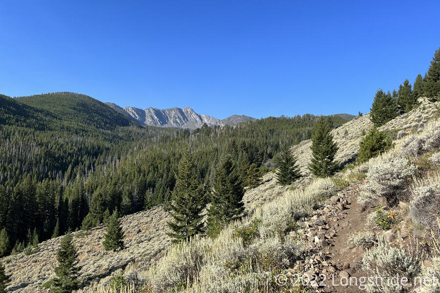
Once I got above the forest, I began passing many cows on and near the trail. They’re everywhere, it seems, and it’s really tiring having to deal with their effects on the trail.
After a roughly four mile climb, the trail began downhill. Near the top, I got a brief view, a glimpse out to the north. It looked hazy, like there was smoke in the air.
A long series of switchbacks gradually worked the trail to a creek valley, that it followed the rest of the way out of the mountains. On the way, I came across a thick green snake stretched across the trail. Not moving at all, it seemed like it was dead, so I poked at it a bit with my poles. It turned out it wasn’t dead. I wasn’t about to get close enough to the snake to step over it while it was still on the trail, though, so I managed to hook it with my poles and flung it off the trail. (I’m not sure what kind of snake it was, but it definitely wasn’t a rattlesnake.)
Past the snake, the trail joined a dirt road, which it followed downhill near a creek. At places, the road was steep, rugged, and eroded, but at least it was only moderately annoying.
I stopped for a break at 11, at a trailhead. Hot, and tired, I reassessed my plan for the day. I’d expected to hike straight into Whitehall, via a trail that cut north through the mountains, and then via dirt and paved roads into town. That would be about 19 miles and include 2500 feet of elevation gain. The alternate, that the rest of the group was taking, was about nine miles, all downhill, but would require a hitch into town, and then back out again tomorrow. I wasn’t keen on having to hitch, since it felt like it might be difficult to get a ride, and I kind of liked the idea of hiking straight through town.
It was, however, starting to become unbearably hot, and I realized that there was no way I was going to make it to town today, if I tried to hike in. Especially with that much elevation gain staring me in the face. So once I finished my break, I kept following the road downhill, out of the mountains.
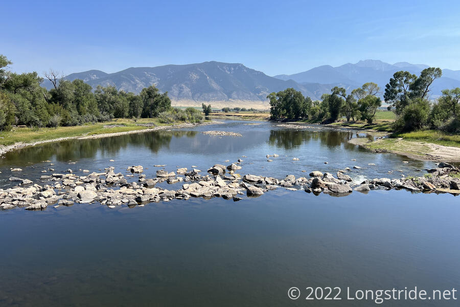
I passed everyone else on the way down the valley. Before even exiting the mountains, the national forest ended, and the next 2.5 miles was on a public easement on a private road. Eventually, the mountains ended, and I entered valley used for farming.
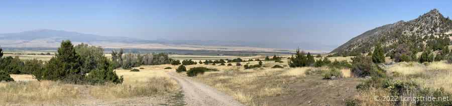
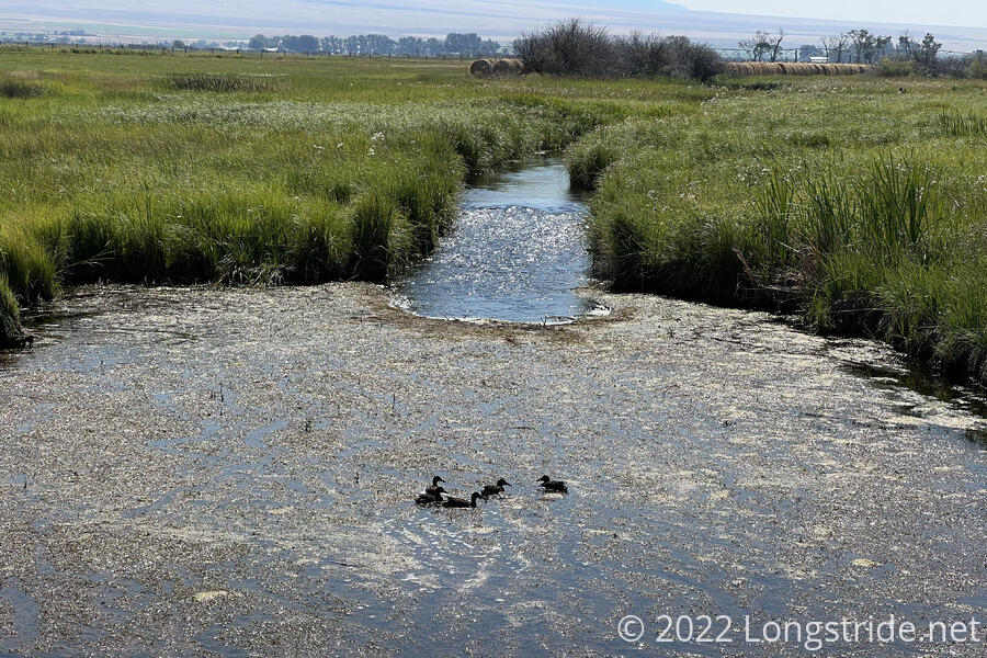
I followed a series of roads through farmland. There wasn’t much out here, but cows (in the fields, not the roads, fortunately) and ducks, but I did see a couple of deer off in the distance.
Just after I crossed the Jefferson River — which merges with the Madison River to become the Missouri River, the longest river in the US — a car pulled up on the side of the road, and a guy got out, disappearing from view. As I passed the car, we had a quick chat; he and his mother were driving south, to Reno, Nevada, and they pulled off the highway so he could make a quick pit stop. He offered me two ice-cold cans of Twisted Tea, which I happily accepted.
Not far from the bridge over the river was a highway, a two lane road with narrow shoulders and cars flying around a bend at at well over the 55 mph speed limit. I resigned myself for a hard hitch, chugging one of the cans of alcoholic tea to stay cool. When I come back here to continue, I’ll have to hike about a mile down the road, which isn’t going to be much fun if there continues to be this level of traffic.
Roughly 15 minutes later, still trying to get a ride, Recon arrived. I gave him the other can since I didn’t want to drink the equivalent of two beers while standing on the side of a very hot road. We stuck our thumbs out trying to hitch from every vehicle that passed, including (just for the fun of it) a school bus. (The school bus turned off the highway, down the road we’d walked up.)
After being at the road for 45 minutes — one of my longest hitches ever — Recon and I got a ride. From the school bus. Having finished its afternoon run it had picked up Sprouts and Fuck-It somewhere down the road, then picked up the two of us and took the four of us into town. We got him to drop us off at the combined KFC/A&W, where we met up with Stumblebee and Wild Man.
Stumblebee dropped some news on us: as hot as it was today (over 90 °F), it was going to be even worse over the next several days. Four of the next five days were forecast over 100 °F, with tomorrow forecast at 104 °F. This seemed ludicrously unreasonable for Montana, even in late supper. I immediately began plotting a zero. I didn’t really want to take another zero after just three days, but this is far too hot to be out hiking.
From my maps for the Big Sky/Super Butte alternates, I knew that last year, hikers were able to camp (and shower, and do laundry) for free at Whitehall’s town hall. Stumblebee, having gotten to town a few days before us, called the mayor and arranged access for us.
We got to stay in the garage attached to the town hall. Built to be an ambulance training facility, the garage now seemed used primarily for storage. About a quarter of the floor space had been set aside for hikers to use, including a couple tables and plenty of chairs. The floor was concrete, but there were some strips of carpet off to the side that we unrolled to provide padding for sleeping. A small kitchenette had a microwave, and there were laundry machines. A large bathroom also had a shower. It was nothing fancy, but it didn’t need to be — it was indoors, and shaded.
After relaxing for a bit, I became quite sore — sometimes, I think just being in town makes me sore, as if my body knows it’s time to stop working and try and recover. It’s likely to get its way, there’s almost no chance I’m actually going out hiking tomorrow.
A few of us walked to the closest gas station to get (mostly junk) food for dinner. On the way, I had the idea to possibly slackpack the next section of roadwalk, about 11.5 miles from where Recon and I got picked up, down dirt and paved roads, to another highway. Recon and I are going to have to do that section anyway, and it’d be nicer to do that stretch tomorrow morning and be done before it gets too hot, and it would give us a head start for the final stretch to Butte. (Recon and I are trying to keep a continuous footpath; everyone else is a bit more lax about roadwalk continuity.)