A dreary, cloudy day, the trail today took me past the Chinese Wall, an impressive 20-mile-long rock wall in the Bob Marshall Wilderness.
It turns out that the mice were a bit more clever than I expected. The problem my Ursack has is that it’s closed with a (heavy) drawstring, so the top of the sack never seals completely shut. This isn’t so much of a problem for bears, since they’re too big to do anything with the small gap. But the mice around my campsite had no problems squeezing through the hole at the top. They nibbled their way through one of my food sacks and into the trail mix bag again, and also chewed into a loose Snickers bar.
Losing a Snickers bar isn’t a big problem (I have a few extra), but them getting into the trail mix bag again means that, with an abundance of caution, I’m going to have to throw it out. I still have more that they didn’t get to in another bag, but throwing out a significant quantity of trail mix on the first day out of town is quite annoying; I’m probably going to run out before I get to my next resupply, in East Glacier Park.
As is typical, I left camp last. It was a little warmer overnight than I was expecting, but it didn’t seem like that would hold all day. The sky looked entirely overcast; I expected it would rain at some point.
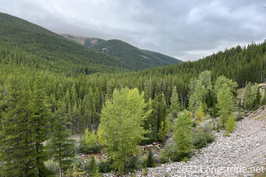
The trail continued up the valley containing the West Fork South Fork Sun River, gradually climbing up the drainage in a forest. Cool out (though humid), it was easy hiking, at least for the first couple of hours.
As I continued up the river valley, the temperature grew cooler. The clouds overhead were not lifting, so as I gradually gained in elevation, the air became more humid as well. This also meant the plants near the trail had visibly more water on their leaves. Fortunately, they weren’t overgrown, but it would have been a nuisance if they were.
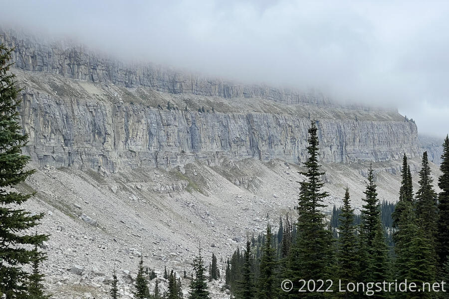
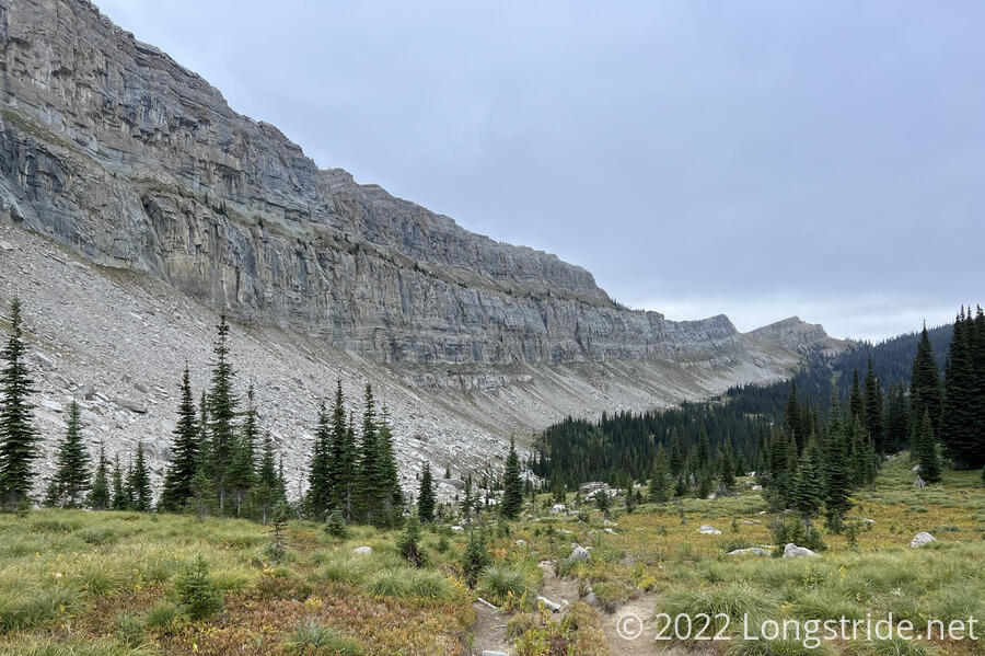
From camp, the valley headed due north, but made two sharp turns. The first, after about five miles, turned west, heading towards a vertical rock wall in the distance. A mile and a half later, below the wall, the trail turned sharply back to the north, paralleling below the wall and steeply climbing up to a pass. I suspected this was the Chinese Wall, a 20-mile-long nearly vertical cliff face.
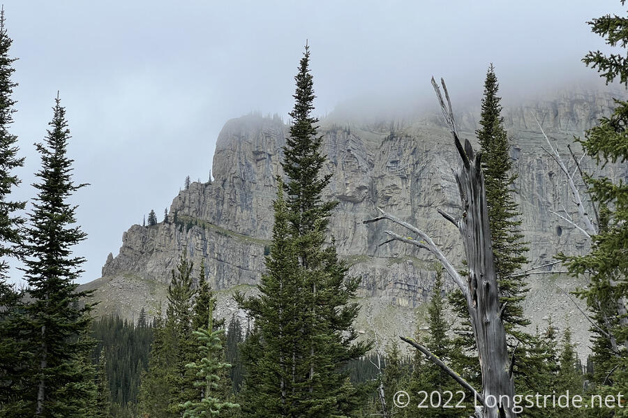
It wasn’t until a little while later, once I’d climbed above the treeline and neared a pass, that I was certain of what I was looking at. It was indeed the Chinese Wall, with its top obscured by the cloud that blanketed as far as the eye could see.
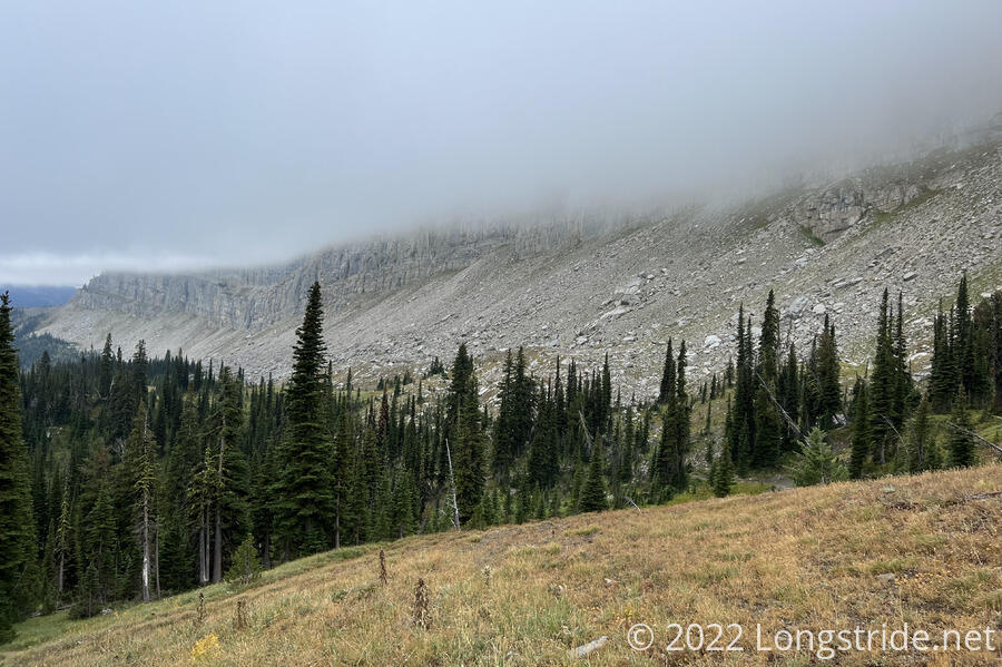
At the pass, a camping closure began, to protect the fragile ecosystems near the wall from overuse. For miles, as the trail somewhat gently bounced up and down, there were dozens of places that would have been great for camping. Also at the pass, a trail climbed steeply up towards a viewpoint on the wall. Sadly, though, with the fog, there was no point in hiking up. I wouldn’t have seen anything at all.
The Chinese Wall was one of the few places along the CDT I was looking forward to seeing before I started hiking. I was glad to be here, but disappointed that the clouds were making the view less impressive than other pictures of the wall I’ve seen.
After dropping down from the pass, the trail followed the base of the wall for several miles. I passed by a couple of hunters (I’m assuming, given their rifles) with five heavily laden horses.
The wall is in a slow state of erosion. The sheer cliff face slowly cracks over time, shedding rock onto the slope below its face. The land in front of the wall is piled high with scree, much of it small, but there is the occasional car-sized boulder.
Thanks to the clouds, cold, and humidity, today largely felt pretty dismal, the gray sky sucking the joy out of what should otherwise have been quite stunning scenery.
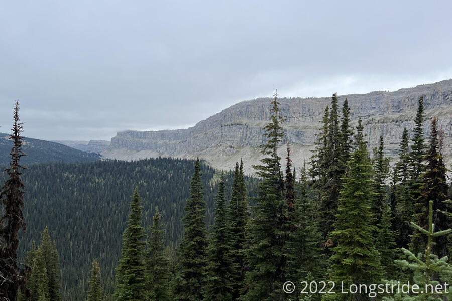
The wall was the main attraction for the day — I hiked along it for almost four hours — but like everything else, it came to an end. The trail made a hard turn to the east, heading away from the wall and entering a thin forest.
After a steep drop in a burn area, I reached the trail to join the Spotted Bear Pass alternate. The CDT itself continued east, following the drainage I was in, and then circuitously heading north. The alternate, instead, takes a somewhat more direct route north. 28 miles long to save 15, I’ll be on the alternate the rest of today and all of tomorrow.
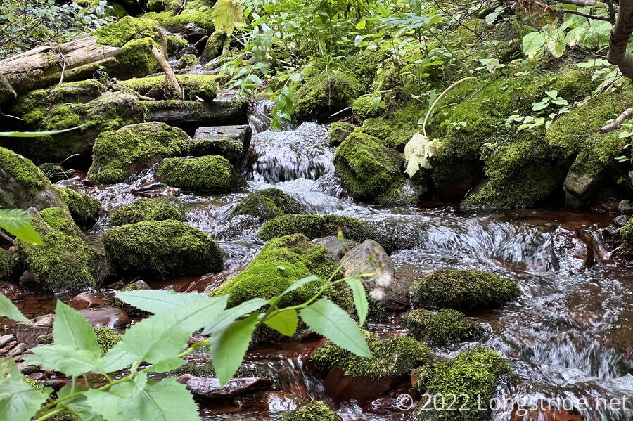
After an initial steep drop, the trail entered thick forest. The trail roughly followed the Spotted Bear River down its valley. There was a lot of water around, and unusually, the trail was rather wet and muddy. Much of the trail was slightly overgrown.
After a day of clouds, in the very late afternoon, they began to clear slightly, taunting with a few patches of blue sky.
Around 6, I reached a nice campsite next to the river. I considered pushing to the next campsite, another 2.5 miles, but I was tired, and both of my feet hurt. I set up camp, with my tent nestled in a flat space under a tree, got water from the river, and started dinner.
Shortly before 7, Recon, Velveeta, and Sprouts arrived. Recon had been able to receive a weather forecast, and said the forecast looked good for tomorrow, but there’s a chance of rain starting in early evening through noon the next day. Hopefully, hiking another 20 miles north tomorrow will help get us out of the rain.