With a five day hike to Grants, I set out into the desert one last time to begin the final stretch of the Continental Divide Trail — and my Triple Crown.
Not surprisingly, I got up later than intended, but at least I made it to the Cuban Cafe, across the street from my motel, before sunrise. After breakfast, laundry, and checkout, I finally left town a bit after ten.
Crossing the main highway through town, I followed a smaller two-lane road to the west, towards the Mesa de Cuba, a small mountain a few miles outside of town. A sign showed the distance to Grants as 124 miles, but via trail, I’ll be there in “only” 106 miles.
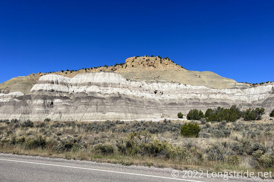
The first four miles out of town were uneventful. Only a few cars passed by. About halfway to the foothills of the Mesa de Cuba, the road turned south, and then west again, skirting the mountain. Especially when viewed from the south, white and grey bands in the rock were a striking contrast to the reds and yellows of the sandstone near Ghost Ranch.
Leaving the highway, I turned onto a dirt road, now heading southwest. A few minutes later, I passed a car parked on the road, with an undated note saying it belonged to two sobo CDT thru-hikers, who would be back in a week or two, and please don’t break in because it’s also where they live now.
The dirt road quickly became a sandy road, cutting through a dry (except for one large puddle of water the width of the road) meadow with brown grasses and a few scattered small trees.
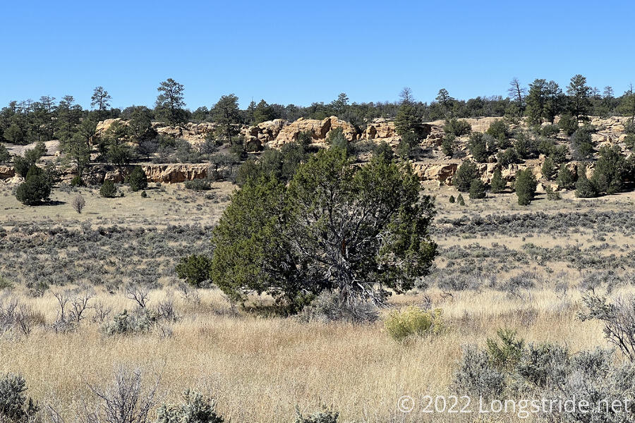
About a mile later, I stopped for a break under a nice shade tree. I was glad I stopped there; it was one of the only trees large enough to sit under for the rest of the day.
Rather than going straight to Grants, my plan is to take a detour to summit Mount Taylor, a dormant volcano northeast of Grants. At just over 11,300 feet, it is the highest point on or near the trail in New Mexico and I’d been looking forward to summiting it before I started the trail. Now, though, that seemed to be in jeopardy: the weather forecast seems to be calling for rain for the day I’m planning on reaching Taylor. That’s still four days away, though, so hopefully that’ll be enough time for the forecast to improve.
The trail turned off of the sandy road, onto a sandy trail. With that, I was immediately swarmed by gnats for the first time since long enough ago that I can’t actually remember.
The sandy trail traversed along what seemed a short, wide, fairly flat canyon, so views were limited for a while. Once the trail climbed up to the eastern rim, I got views back to the east. Nearby, the rocky Marion Butte jutted prominently out of a smooth mound. In the distance, I could see the ridge of the Sierra Nacimiento, which I hiked through yesterday and the day before.
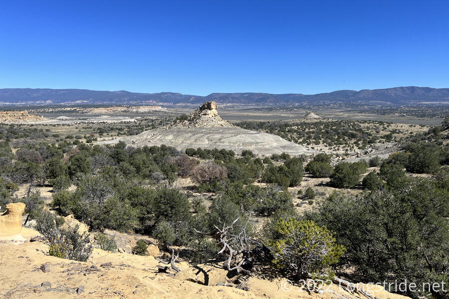
For the next hour, the trail followed the edge of the ridge somewhat closely, usually within eyeshot of the escarpment separating the mesa I was on (Mesa Portales) from the valley below. It’s not the first time the trail did this — the most memorable similar geography was in Colorado on the somewhat annoying ridgewalk past Heartbeat Peak — but in Colorado, the trail didn’t generally follow right along the very edge of the plateau.
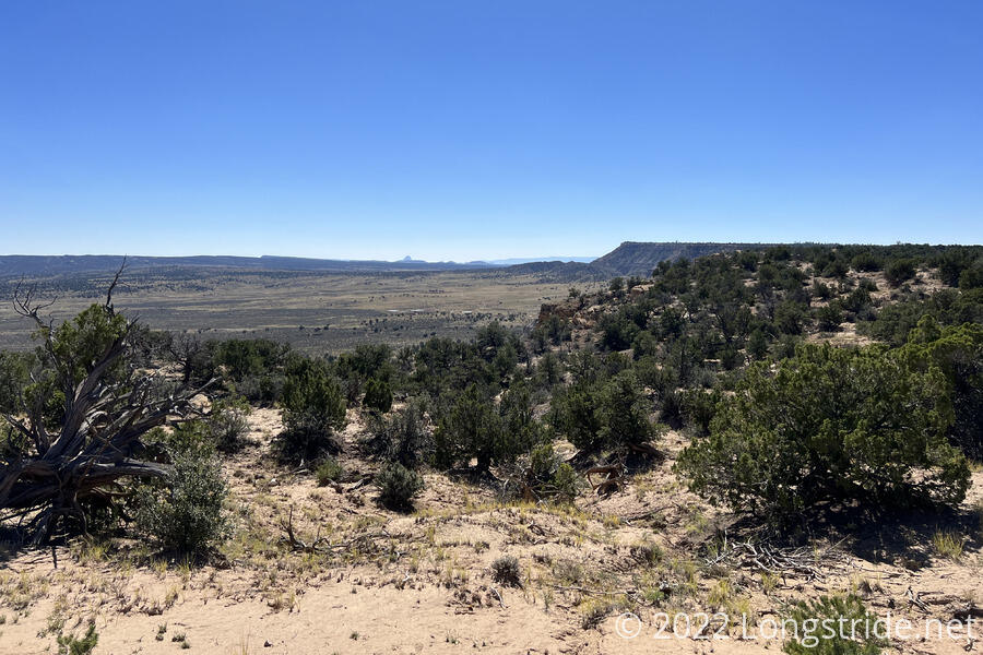
Similar to Mesa de Cuba and Marion Butte, the eastern side of Mesa Portales was highly eroded, with round bulbous grey and white landforms underneath a rocky covering.
The CDT split from the trail following the rim of the mesa at a junction. The other two branches of the junction formed a loop that went another three-quarters of a mile or so to the actual summit of the mesa. I was tempted to go bag the summit, but that would have been an extra half hour out and back, and, somewhat unfortunately, I’m now focused on moving forward as quickly as possible. The time for side jaunts on the CDT has passed.
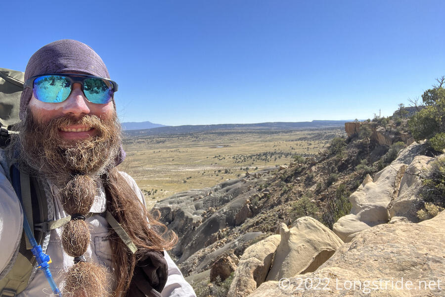
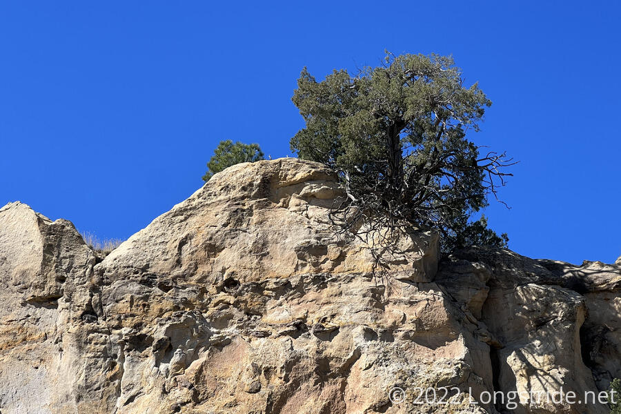
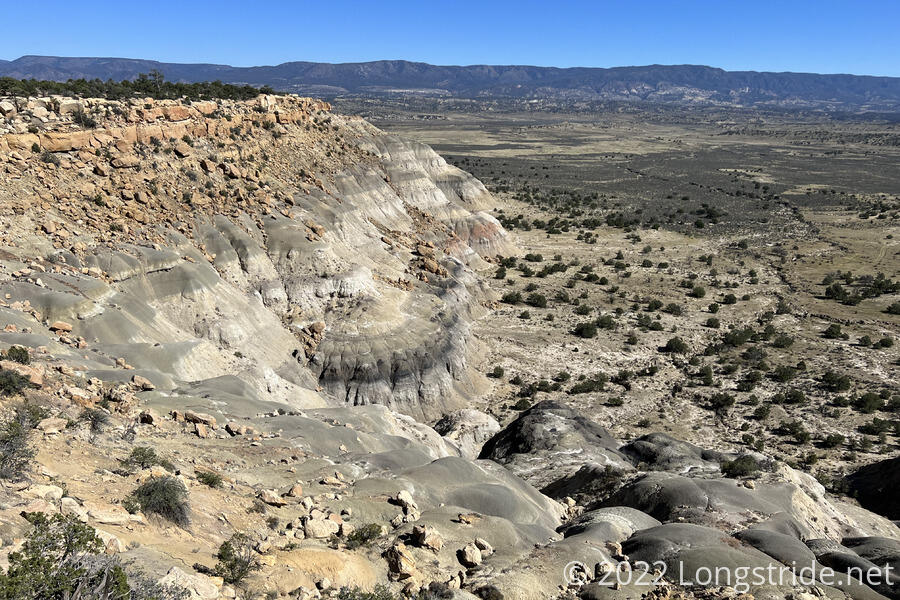
Just past the trail split, I stopped for a break right before the trail dropped down the incredibly steep side of the mesa. There’d been some maintenance work put in somewhat recently to help stabilize the trail, but there was also a rather unnerving amount of rebar sticking out of the loose, sandy ground, and I made slow progress to ensure I wouldn’t trip or slide on anything. With all of the loose rock, there were a also several places where large boulders were balanced on each other.
I caught up with and passed Onion on the way down, the first (and only) other hiker I saw today. She pointed out some petrified wood placed on a rock next to the trail.
Crossing the valley between Mesa Portales and the next mountain over, La Ventana Mesa, I got my first clear view at what I think is Mount Taylor. Or, at least, the plateau surrounding it, since the summit itself is still 55 miles away as the crow flies.
Shortly after beginning the climb up La Ventana Mesa, I diverted up a side drainage to get to a spring. It sort-of reminded me of a diversion to get water early in New Mexico, the day before reaching Silver City. Water from the spring was piped into a trough, which was mostly filled with sand, making it take a little while to actually collect all the water I’d need for dinner tonight, and to drink tomorrow. (The next water source isn’t for another 14 miles.)
Climbing up to the ridge from the spring, the mesa’s surface was made of sheets of rock with hexagonal patterns overlaid on top of each other, the topmost sheets in the process of eroding away.
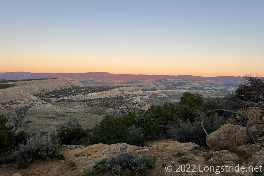
Bouncing along the sandy ridge a few more miles, I started looking for campsites towards sunset. Comments in my trail guide suggested there was a good campsite with a bed of pine needles and cell service, but did not say exactly where it was located. I passed by a couple of spots, one of which was probably where I was “supposed” to stop, but I opted to keep going, looking for a spot higher up that had a view to the east, so I’d get a good sunrise. I won’t know how successful that choice is until morning, but I did have a good view in both directions as the sun disappeared below the horizon.
While the views were great, the campsite itself was lousy for pitching a tent. Wind and vicious mosquitoes picked up shortly after sunset, and the ground was too loose to hold stakes; I had to secure my tent with rocks that broke apart if handled too roughly, and it took over half an hour — mostly in the dark — to get it up and secured. Hopefully, it won’t be too windy overnight; if I have to go out to re-stake my tent, I’m likely to kick something loose in the process and make a mess of things.