Although I grew up not terribly far away from Maryland’s Patapsco Valley State Park, I’ve actually done relatively little hiking in this expansive and non-contiguous park that stretches along 32 miles of the Patapsco River.
In 2011, I did a 17 mile hike that included a six mile stretch in the park's Hilton and Glen Artney areas, and in late October and early November, finally returned to the park to do two hikes in the Pickall and Hollofield areas, through which I’d driven through hundreds (if not thousands) of times.
Today, I joined a MAHG hike in a section of the McKeldin Area of the park, near Henryton, MD. In the low 40s and partly cloudy, it was another great day for a hike.
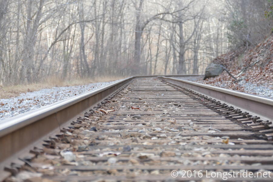
Thirteen of us, including the hike leader, met at a gravel parking area adjacent to the road and an active railroad track. Not surprisingly, this was a somewhat older crowd of hikers, given it was 9:30 am on a Friday morning. (Interestingly, there was also a rather lopsided gender balance — only three men on today’s hike; my other hikes with MAHG were relatively balanced. I’m unclear if that’s typical of this particular subgroup, or if the Friday schedule had something to do with it.)
Today’s hike, newly scouted by our hike leader only a few weeks ago, went along a series of unblazed and unlabeled trails forming an out-and-back loop, following relatively closely to the river’s south bank on the way out, and then slightly further south on the way back. Except for two hills towards the middle and end of the hike, it was relatively flat, the two hills representing just over half of the roughly 1400 feet of total elevation gain over just under seven miles.
While the trail was generally fairly easy (at least to me), there were a few parts where the group moved rather slowly. A section towards the beginning featured two more difficult areas. The first was a combination of steep and muddy ground, soaked by the rain we got yesterday and the day before. A little further on, the muddy trail became narrow and dropped off sharply towards the river, the trail itself having a few steep climbs and drops. Brambles grew alongside the early part of the trail, often creeping onto the trail (thanks, long pants!). And there were leaves (often wet) everywhere on the ground. (On the plus side, the leaves being on the ground meant we actually had some nice views of the river and the hills and valleys near the trail!)
That was the worst of it, though. Further on, there were occasional muddy sections, but otherwise, nothing too serious. One muddy section late in the hike had a mud puddle that sucked a shoe off one hiker’s foot. (They were able to recover it, though.)
All of the other hikes I’ve been on with MAHG have typically had something resembling a snack break roughly in the middle of the hike where people could stop, sit down, stretch their legs, and get something to eat. My hike at Jug Bay on Sunday was the first to divert from this, the mid-hike break being a stop at a replica of an American Indian village. Today’s hike, however, didn’t have a mid-hike break as such. While we stopped for a short while roughly in the middle of the hike for a bathroom break, it was really very much a standing break. We also made frequent short stops along the way, occasionally to allow part of the group that had fallen slightly behind to catch up.
I should point out that there’s nothing wrong with the approach adopted by today’s hike leader, just that it’s different from what I had previously seen. It clearly worked fine for this group of hikers. And, I don’t think a seven mile hike with little elevation gain really requires a long break in the middle. The numerous short breaks pretty much combined to have the same effect.
During our mid-hike bathroom break, as had been the custom in other hikes, we split the group; the men went ahead a short distance, and the now-segregated-by-gender groups could do their business. When the women finished, they’d catch up.
Usually, this is pretty uneventful, so the three of us waiting were rather surprised when there was a shout that came from the women’s group. My initial thought was that someone had fallen into the small creek we had to cross. Fortunately, though, they were just startled when a deer ran across the trail!
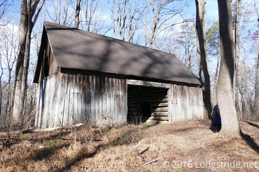
Shortly after, on the way back, we passed by a small graveyard, and a wooden shelter that, aside from its dirt floor, would have been the envy of many on the Appalachian Trail. Later, as we neared the parking lot we started from, we passed a hunter dressed in camo, with a crossbow. (Fortunately for him, we knew for certain there was a deer in the area!)
Afterwards, twelve of us went for lunch at a nearby Asian restaurant, Paper Lantern, where we could actually carry on conversations unhindered by the sound of feet stepping through leaves. The food was okay, but not too bad given the price. Their fortune cookies were clearly written by someone who believes in adding “in bed” after the fortune text. One person received the otherwise bland fortune “You will have successful business.” Mine was more bizarre: “This is sweet.”
Next up: a 12 mile hike in Shenandoah early tomorrow morning. Better get to sleep!