Our first day on the GR131 took us through the first two sections of trail on Lanzarote, from the coastal town of Órzola in the north, through the towns of Máguez, and Haría, and ending near the southern end of Teguise.
Leaving our hotel this morning, still before sunrise, CareFree and I immediately noticed and welcomed the much improved air quality. A 15 minute walk under clear skies brought us to a bus station in the north of Arrecife. Our hour-long bus ride brought us north to Teguise, and then east to the coast, and north along the coast to Órzola, dropping us off at the port, where a ferry waited to shuttle people to one of the small islands just north of Lanzarote.
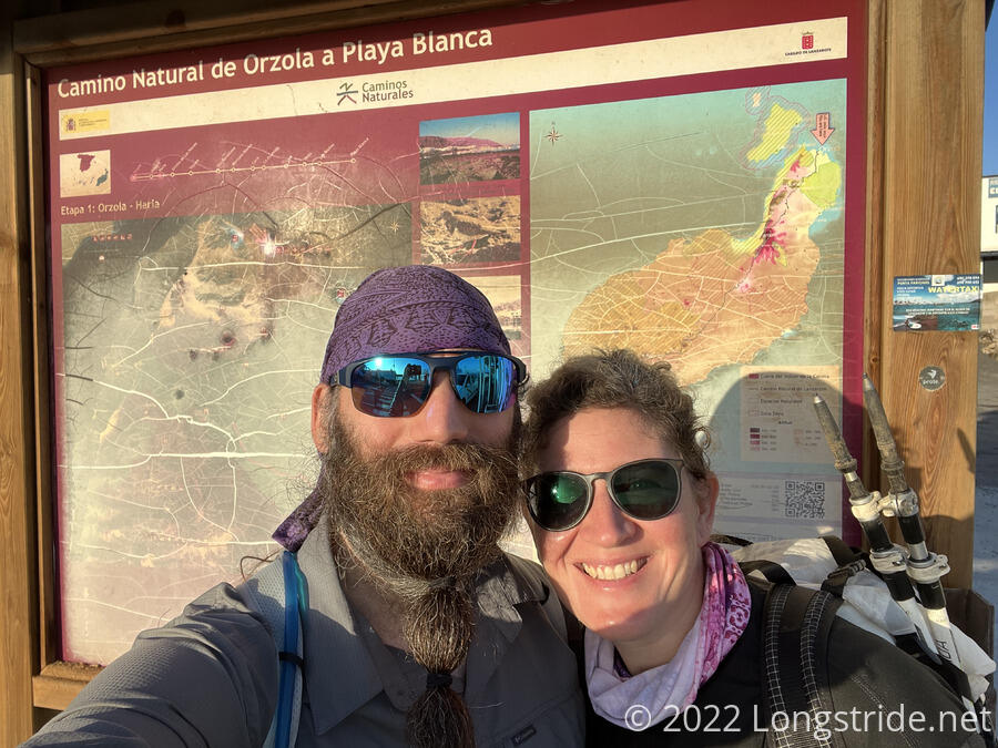
We made our way over to the sign board marking the north-east most point on the GR131, and turned south, following the road out of town.
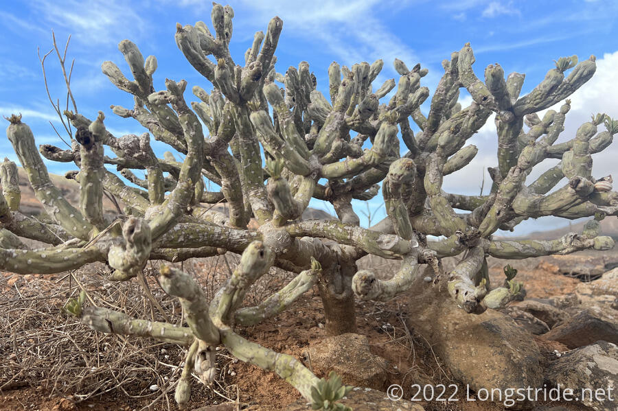
The road as we left town was flanked with homes with plots of land for farming, in varying stages of being planted. Most had cactus growing. A donkey brayed, though we never saw where it was.
Just as we reached the edge of town, the trail turned off the road, heading towards mountains, and we began our first climb of the day. Now on a dirt-and-lava rock tread, we hiked up a bit, elevating us above a few argan fields. The ocean provided a backdrop that expanded as we got higher, and eventually Órzola came back into view, before disappearing as we headed further away.
The trail rejoined a road, following alongside, and a cyclist — the first of many today — slowly passed us going uphill. The road snaked around several houses with empty fields, and as we ascended, we started to get a good view of a caldera.
On the climb up, we passed an older German couple that were on the bus with us to Órzola. They’d evidently started from the terminus sign immediately after getting off the bus.
Completing this climb, the trail joined the road, as a group of ten or so bicyclists zoomed past.
We took our first break after about two hours of hiking, sitting down under the shade of a rock wall. A sign across from us told us there was a cave we could visit … somewhere … but provided no further details.
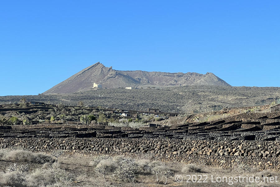
Continuing on a road downhill, the trail reached the small town of Máguez, and joined a paved road that quickly cut through town. Heading south out the town, the trail partially climbed up the side of a volcano (hopefully extinct, since a side road headed up the mountain to a house nearer to the summit), and ran along it briefly before dropping down to the town of Haría.
In Haría, we passed by a bustling outdoor market in the square adjacent to the church. I think we might have stopped to take a look, but Haría marked the halfway point for the day, and we had a bus to catch later, so we couldn’t dally too long.
We noticed this a bit in Arrecife, but hiking through Órzola, Máguez, and Haría really made clear that almost all buildings are aesthetically very similar: entirely white, with green doors and window trim, and little to no other adornment or personalization. It’s amazing at how uniform everything looks.
Leaving Haría, we passed through more empty fields. Given that most of the fields we’d passed (all of which were black from volcanic rock) had rows already prepared, but no plants, I suspect that if we came back in a month, the fields would be substantially greener.
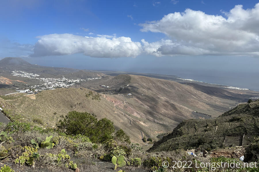
Leaving Haría, the trail climbed Peñas del Chache, the highest mountain on Lanzarote, somewhat steeply cutting the wide switchbacks from a road that also makes the ascent. We stopped for another break about halfway up the mountain, getting great views back to Haría and the Atlantic Ocean. While we were resting, a dark cloud blew in from behind the mountain.
Continuing to climb, the trail passed above a parking area along the road which provided an excellent view northeast of Haría, with the ocean as a backdrop. Alongside the trail, between us and a fence atop a stone retaining wall, a few giant unorganized piles of prickly pear cactus some eight feet high grew against the hill. This wasn’t the only pile of cactus we’d seen today, but it was the most impressive.
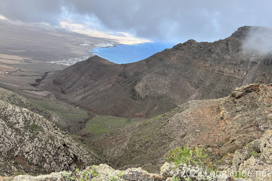
Unfortunately, the top of Peñas del Chache is inhabited by a military station, so we were unable to summit it. However, almost as if consolation, an alternate route to the trail provided a slightly longer detour along the cliff below the summit area. With the cloud blowing over the mountain, we ascended into a light fog, and were a little concerned our detour would not be fruitful. However, as we hiked on, the cloud thinned and lifted a little, and our persistence was rewarded. Below the trail, the mountain immediately and quite steeply dropped into a rugged valley. As we continued, the a beachside town and ocean spectacularly came into view.
The trail continued to wind along the rocky mountainside, until it rejoined the relatively flat plateau atop Peñas del Chache. While we were along the cliffside, we passed about a dozen other people out for a walk along the cliff. Towards the end of the cliff walk, the trail began passing a small assortment of caves. One was large enough that someone had put inside half a dozen chairs and a table made from a wooden spool for cable.
We rejoined the GR131 and continued southwest on a dirt road. As the we progressed, the mountains to either side of the trail regressed behind us, and I could see both the east and west coasts of Lanzarote at the same time. To the east, it was a bit hazy, perhaps from lingering Sahara sand, but the view to the west had continued to improve, as the cloud atop the mountain moved behind us.
We stopped for another break, at an overlook just off-trail towards the west. The beachside town of Famara was visible, as was the ocean, and also half a dozen remnants of volcanoes. The area around Famara, volcanoes aside, looked remarkably flat, and also very desert-like. Further south, we saw a hang glider rising into the sky.
We continued along the dirt road the rest of the way to the town of Teguise, passing the Castillo de Santa Bárbara, a castle high on a mountain to the east of town, dating from the 16th century and which now apparently operates as a pirate museum. Alongside the road, countless empty snail shells covered the ground, many beneath some type of succulent desert plant.
The trail wound through Teguise, and we stopped for the day at the bus station towards the town’s southern end, outside its town hall. Now late in the afternoon, the town seemed very quiet. We only saw a handful of people outside, most at outdoor seating at a restaurant. Many businesses and restaurants we passed had signs posted that they were closed because it was Saturday. Also because it was Saturday, our bus back to Arrecife ran somewhat infrequently, and we had a lengthy wait. Nearly the entire time we waited, a pigeon hidden away nearby cooed loudly, and the old man sitting on the next bench over whistled constantly, possibly to drown out the pigeon.
Tomorrow, we return to Teguise to continue south, to the town of Montaña Blanca.