Our second day on the GR131 took us 15 km through farmland and towns, bringing us from Teguise to Montaña Blanca.
CareFree and I got our start a little after getting off the bus in Teguise, heading southwest out of town, back down the road we rode in on. After a short distance, we turned off the main road, onto a dirt road that led us towards the farms on the outskirts of Teguise. Few had anything growing, but already beds had been made.
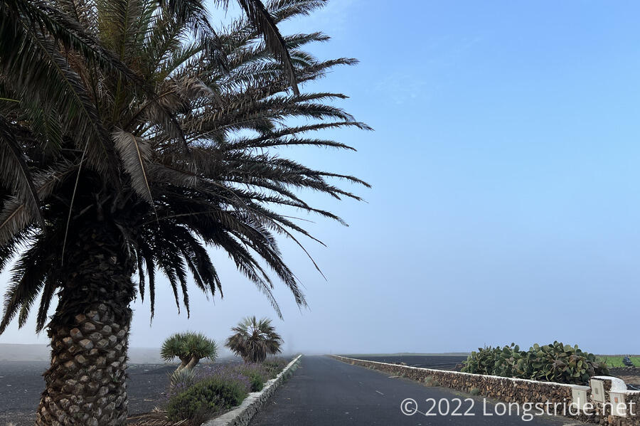
The weather this morning was again nice; about 60 °F when we left Arrecife, and warmed up to the mid-60s later in the day. We had generally clear skies with some clouds, except for a short while after leaving Teguise, when we hiked through a fog cloud in the valley a little below town. Facing away from the sun, a thin circular arc, like a colorless rainbow, appeared over the fields to the west of trail, initially a little hard to see, but greatly accentuated by our polarized sunglasses.
The houses along our route this morning had a fair number of dogs. Several of them took to barking at us as we walked past. One dog stuck its head up over the stone wall it was behind, which was a little worrying because it seemed like the dog could have gotten out if it wanted. Another dog ran up to the gate between its property and the road and snarled and barked at us. Fortunately, except for the one, they all seemed properly secured, so I wasn’t too worried about our safety.
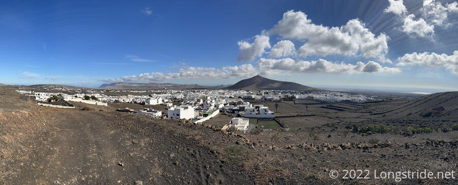
As the dirt road winded its way between farms, the houses grew sparser, until the only sign of civilization we could see were the farms, the dirt road we were walking on, and a few airplanes. (Yesterday, we saw roughly 20 airplanes, which we thought was quite a lot. Today was more modest, only five or so.) As we crossed a paved road and were passed by two groups of cyclists, we happened to look back, and could see Teguise, and its neighboring town Nazaret, nestled in adjacent mountain valleys. A flock of black birds circled over Nazaret, making the town appear a bit eerie.
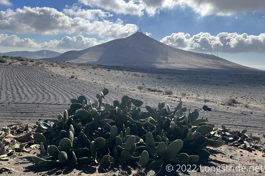
We took a break in a small depression next to the road. A few lizards darted to and fro from hiding spots on the other side of the road, occasionally managing to ambush and eat flies that had landed on the ground. Across from us was a short crag. Near the top, a white cat roamed, presumably looking for lizards of its own to eat. Nearby, a prickly pear mound attempted to emulate the mountain peak behind it.
The trail next brought us to San Bartolomé, which was rather bustling, perhaps a close second to Haría due to its market yesterday. (This, of course, discounts Arrecife, which is both far more busy than either, and not on the GR131.) We passed an outdoor gear shop, and attempted to see if they had fuel canisters, however, they were closed on Sundays.
Leaving San Bartolomé took us past a former mayor’s residence, situated up on a hill that at one point had a clear line-of-sight to Arrecife and its harbor. Climbing higher up gave us great views of Arrecife and Playa Honda, the town between Arrecife and the Lanzarote airport. A large skyscraper hotel in Arrecife’s waterfront stood out prominently, as did a cruise ship in the harbor. The ocean to the west was also visible.
From there, we circled most of the way around a mountain, temporarily joining a paved road with no shoulder. It was unclear why the trail did that; a perfectly good dirt trail split off the dirt road the GR131 had been following, and though it ended at the paved road, it would have cut off at least half of the paved roadwalk.
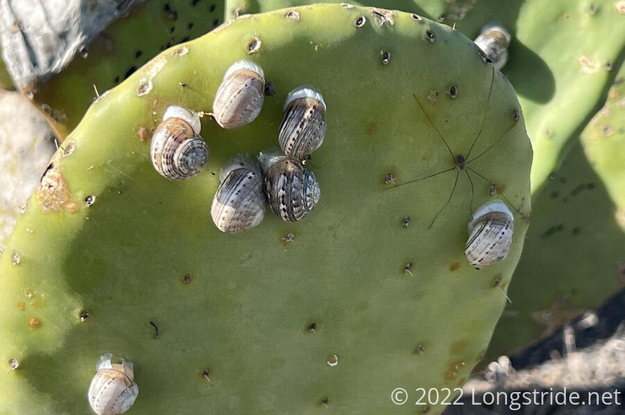
Alongside the road, we saw a number of prickly pear plants, this time with snails affixed to them. After seeing the hundreds of snail shells yesterday beneath succulents, it was interesting to see the snails actually on the plants.
One thing I forgot to mention yesterday is that for the most part, the GR131 has been very well signed. Away from town, there’s been two types of markers: a larger one that includes directional arrows in both directions with distances to the next few towns; and a smaller one that’s a waist-high pole with a small sign wrapped around it with the trail’s local name on Lanzarote. In town, the trail is usually indicated with a small plaque on the side of buildings (in much the same was as street signs are placed). The only time we’ve had a question as to where the trail went, it’s been in a town, and a little looking around would usually fairly quickly find one of the plaques.
After looping around the mountain, the trail continued its roughly southwest track, continuing on dirt roads until entering the town of Montaña Blanca. We had some difficulty locating our bus stop back to Arrecife — there wasn’t a sign where I was expecting, but we did find the stop going in the other direction. A friendly man who lived across from the stop sent us halfway down the block and told us to wait across from a sign, and flag the bus down when it came. We did, and it worked.
Tomorrow: we continue on the next stage of trail, taking us from Montaña Blanca to Yaiza.


