It was quite cold this morning, which had a predictably poor effect on our motivation to quickly get out of our tent. The cold front that had started to blow in yesterday was definitely here in full force, and we huddled in our sleeping bags trying to warm up much longer than planned.
CareFree and I finally left camp around quarter to nine, well aware that we now had an hour less time to make it to wherever we were going today. (Based on someone else’s trail report, we were hoping for a campsite along the ridge past the Short Mountain summit, giving us around a 12 mile day. But we were uncertain about how good that campsite, if it actually existed, would be, and worst case, we’d continue off the ridge towards Edinburg Gap and find somewhere near there to camp.)
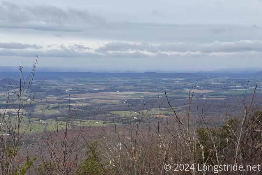
From Crisman Hollow Road, we had a short climb up to the ridge of Kerns Mountain, and followed the ridge for a few miles. There were sporadic views through the trees, but only one really good one, out to the west, towards Great North Mountain. We could see that ridge already covered with clouds, and with the cold wind blowing at us, we knew those clouds were headed towards us.
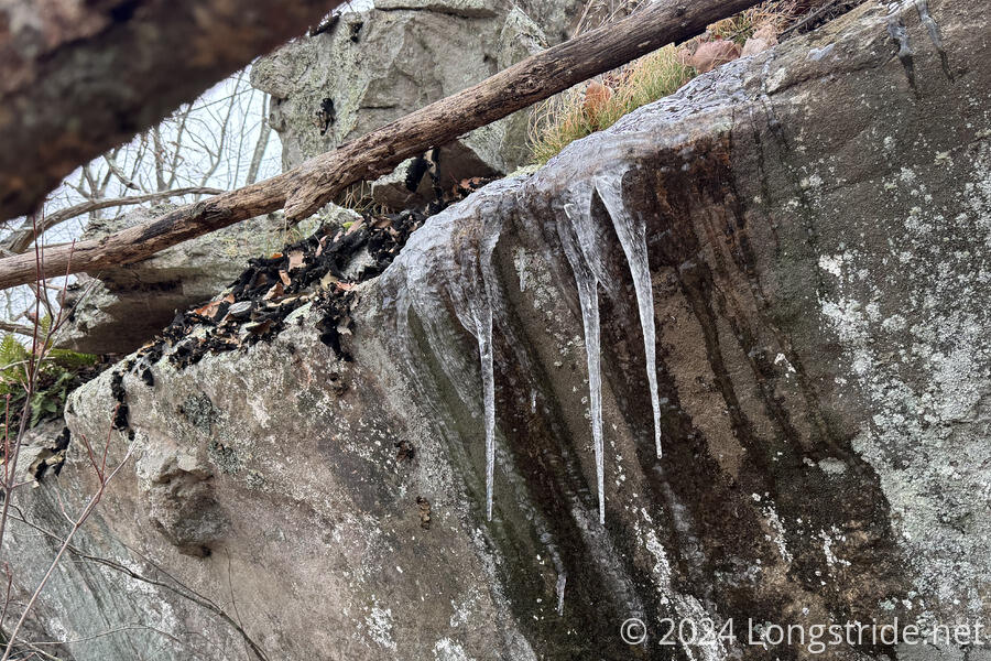
We knew it was cold out, but the icicles growing on rock outcrops along the ridge really made that clear. This was somewhat concerning, since we hadn’t really planned for our water caches to freeze. (Also, we had left an extra gallon of water in my car’s trunk, as well as some Diet Dr Pepper bottles, and cleaning up if any of the bottles leaked was going to be annoying.)
The early part of the trail, up to the view, seemed reasonably-well trafficked, likely because of the view. After that, though, the trail became somewhat more rugged. After dropping off the ridge at Jawbone Gap, the trail briefly followed an old road bed the rest of the way to Moreland Gap Road, which was a nice change of pace. We were sprinkled with a few intermittent snow flurries, and passed an abandoned (and seemingly relatively new) washing machine just beyond where the road ceased to be passable by vehicles.
We stopped to pick up our (third) cache of two gallons of water just before we got to Moreland Gap Road. Fortunately, it wasn’t frozen; one of the gallon jugs had started to form an ice plug, but otherwise both had fully liquid water.
With it being as cold as it was, we weren’t drinking very much, and didn’t need all the water we’d cached here. Not wanting to lug extra water with us, we returned the remains of the cache to its hiding spot. I was hoping to avoid coming back here to pick the empty cache up, but this was relatively on the way back to pick up the cache we left at our campsite this morning, so the extra stop won’t really add that much time.
We continued on, crossing a burned area between Moreland Gap Rd and FR 374. The trail there was overgrown with thorny vines, and we both got snagged by the thorns more than once. This would be a pretty unfun stretch during the summer. After crossing FR 374, we made the relatively moderate climb up to the Short Mountain ridge, and began following the ridge, bouncing up and down as the trail generally followed the side of the mountain a short distance from the top of the ridge. Still on the west side of the mountain, the cold wind continued to blow.
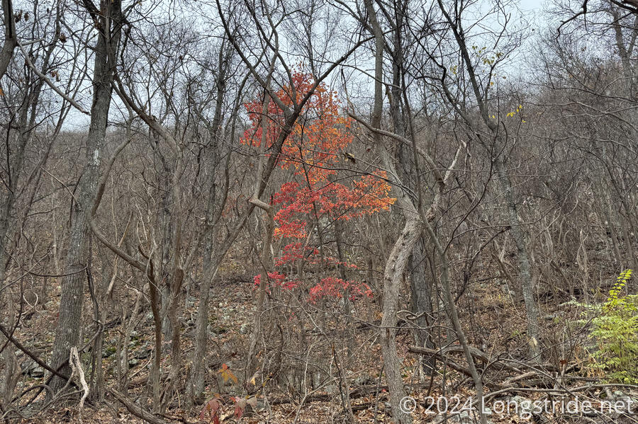
The wind the last couple of days has done a good job of blowing off what few leaves remained on the trees. The trail was completely covered in leaves, which made today quite a slog. Even setting aside the cold wind, the ground was rocky and rugged, and not being able to see anything under the leaves at all slowed my progress. Earlier, CareFree had commented that it’s funny how even though we can barely see the trail, our feet know where to go. And while that was certainly true in terms of following the trail, my feet definitely did not know where it was safe to step.
We saw some motorbike tracks in the dirt, but didn’t see anyone else today. We suspected they might have been left by a biker we saw at Edinburg Gap when we dropped our next (and final) cache.
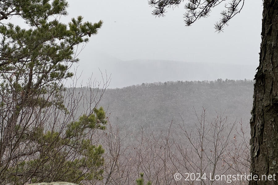
The rugged, rocky ridge made the hike slow going, and a little less fun once flurries started, continuing through most of the rest of the day. As we progressed along the ridge, snow gradually accumulated on the leaves.
Around 3:30, we reached a small campsite on the ridge, at a junction with a faint unmarked trail leading downhill towards the east. With the ridge as rugged and the wind as cold as they were, it seemed pretty clear we weren’t going to get as far as we hoped before sunset. And especially with the wind, we didn’t actually want to camp on the ridge. There were enough downed trees that CareFree was concerned about the wind blowing something else over, so if we kept going forward, we’d likely have to get all the way to Edinburg Gap and look for camping, and we wouldn’t be there until well after sunset.
So instead, we turned down the unmarked trail. According to our notes, this would eventually lead us back down to FR 374, and we felt like we would be more likely to find sufficient flattish space for camp somewhere near the road.
As it turned out, about a tenth of a mile downhill from the ridge, we reached an abandoned road, and were able to find a relatively flat space to set up camp. This made for a much shorter day today than planned, and a correspondingly longer day tomorrow, but that’s a problem for us to deal with tomorrow. We should still be able to make it to Mudhole Gap tomorrow as planned if the weather cooperates.
Stopping an hour and a half before sunset was a little frustrating, but it did let us start dinner while it was still daylight out, and was definitely the right call. And it was a lot warmer than trying to stay on the ridge: almost immediately after we dropped off the ridge, the wind was blocked by the ridge, and it became warmer (or rather, it felt much less cold). Tomorrow, though, we’ll have to be up and going early: we have a long day ahead of us.


