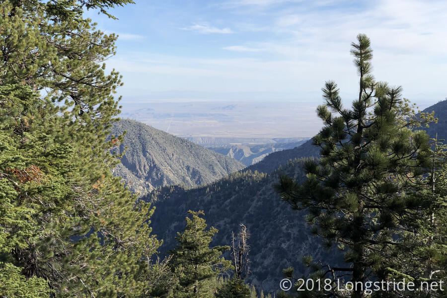
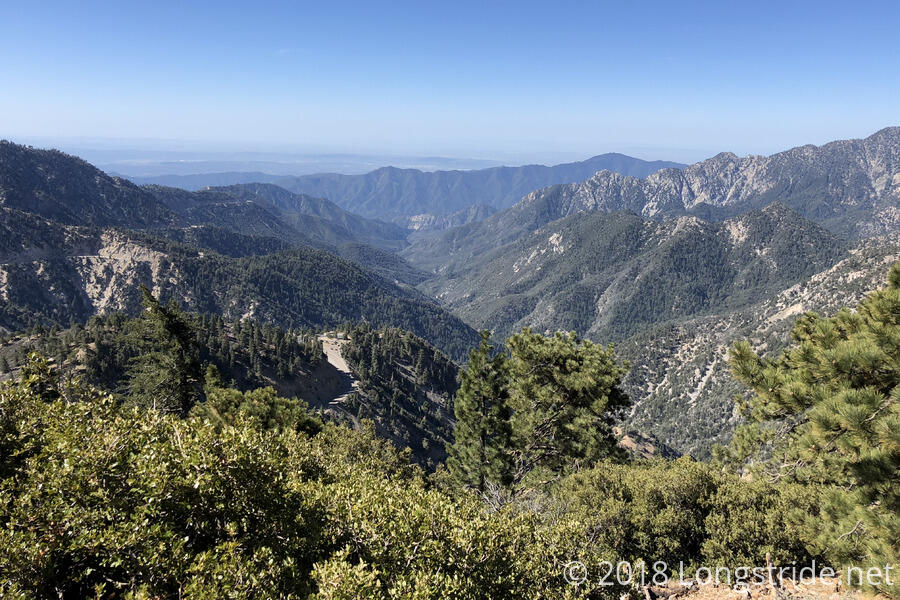
By the time I got out of my tent, everyone else I had camped with had left for the day. This was not a surprise to me, but I figured I would catch up with them far sooner than I did. Leaving camp a bit before 8, I made my way down the the trail, which started off relatively flat, before turning into a somewhat steep downhill heading towards the intersection with CA 2 at Islip Saddle.
As I was leaving the campground after making use of the facilities, I ran into Bob Dog and Hopper, who had gotten there later last night. Some of the scouts who camped at the campground also picked that time to leave, and so for a short while, I was in the middle of a bunch of scouts before they got too slow for me and I hiked past.
The trail started off relatively flat, and then turned into a steep downhill towards the trail’s next crossing of CA 2, at Islip Saddle. After taking a short break to throw out my trash at the trash cans at the small picnic area there, I began the steep climb up Mount Williamson. Nearly as steep as the climb up Baden-Powell yesterday, I was going pretty slowly, and I was half surprised no one passed me during that slog of a climb. When I got to the trail intersection with the Mt. Williamson summit trail, I briefly considered summiting, before deciding that I was completely out of uphill and that going up with a pack with six days of food would only make my legs even more unhappy than they already were. I continued along the PCT, which mercifully skipped the summit and headed downhill, to the Eagles Roost Picnic Area, two more crossings of CA 2 later.
I took a break at Eagles Roost, and before too long, Tater showed up. Tater, it turned out, did summit Williamson, and he didn’t think it was worth it: it was a steep trail up to the summit, some of which was so steep he was almost on his hands and knees climbing up, and the view at the top was not that much better than the view from the saddle the PCT went over. I felt much better about my decision to skip that mountain. We also continued our conversation from Wrightwood about the Appalachian Trail.
From Eagles Roost, the PCT itself is closed due to the “Endangered Species Closure”, with the intent to protect the habitat of the yellow-legged mountain frog. There are two possible detours. One is a 20-mile on-trail detour which follows side trails and goes fairly far out of the way. It’s use is now discouraged since part of it is highly eroded. The second, official detour, is to roadwalk CA 2 to the Buckhorn Camp, and then take a forest service road, and then the Buckhart trail down to the PCT. The official detour is 4.8 miles to skip 3.8 miles of the PCT, and that is what Tater and I did. Fortunately, there weren’t a lot of cars on the road, so even though the shoulder was mostly pretty narrow, it wasn’t terribly unsafe.
At a picnic area shortly before the Buckhart Trail, Tater and I caught up with Sparky, Ghost Hiker, Trooper, and Jay. Buckhart wound its way down to Cooper Canyon, ending at its intersection with the PCT. A sign at the intersection had been written on to indicate a waterfall was south on the PCT, but with no indication of distance, and my legs about ready to riot, I opted to skip looking for the waterfall and continued north on the PCT towards Cooper Canyon Camp. I mumbled something to Sparky about stopping at the camp because my ankle was bothering me (which wasn’t untrue; it had been in light pain almost immediately upon leaving the Baden-Powell summit yesterday), but really, I was stopping there because I didn’t have any uphill hiking left in me today.
The climb up from the trail intersection to the camp felt just as steep as the hike up Williamson, and it felt like it took forever. I finally got to the camp sometime around 2:15 or 2:30. Even though it was still early, and a short day (only 12.3 miles), I knew that to hike further would be folly.
Several of the campsites were in use by other hikers. I had the suspicion, which proved correct, that they were out for the weekend and just hadn’t left yet, so I sat down at a picnic table between the entrance and the campground’s wood stoves, got water, and cooked dinner.
Tater arrived a while later; apparently, he and Sparky’s group took a break at a stream crossing near the Buckhart/PCT junction, not realizing that the Cooper Canyon Camp, also with water and toilets, was as close as it was. Sparky’s group showed up a little later, stopping at the pit toilet before continuing further down the trail.
After the weekenders left, Justin, Karen, and Laura, a trio of hikers I’ve seen a few times before but haven’t talked much with showed up and set up camp in the area I’d been planning on relocating to once the weekenders were gone. There being more than enough spaces, though, I still got a fairly decent site. Still in “bear country”, I threw my second bear line of the hike; this one went much better than yesterday’s. Tater threw one as well, and it was (sadly) the most perfect example of what not to do: he didn’t have enough slack in his line when he threw it, so rather than the rock sack falling to the ground and pulling rope up with it, the sack wrapped itself around the branch he aimed it at several times, until the sack was tightly wound up against the branch. It won’t be coming down anytime soon.
As the hour grew later, I was surprised that I hadn’t seen or heard any other hikers come into (or go past) the campground. There were a number of nice campsites on the way up the hill from the stream, so it’s possible people stopped there. I guess we’ll see tomorrow. Ideally, I’d like to get a somewhat early start. We’ll see how well that goes.
Fortunately, it looks like we’re generally done with the long steep uphill climbs, at least for awhile, but tomorrow is going to be a long water carry since there isn’t much in the way of reliable water sources between here and the next reasonable campsite. But with the short day today, I should be reasonably well rested tomorrow to hike to wherever I need to get to.

