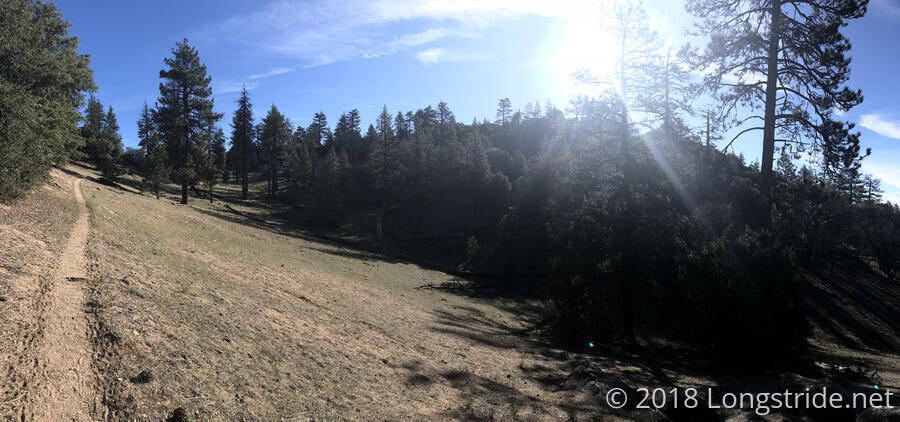
Getting started around 7:40, today’s hike began warm, and in a pine forest that provided some, but not a lot, of shade. Very thin wisps of clouds covered the sky, not really enough to block the sun to any meaningful degree.
For several miles, there were a lot of intersections with bike trails, including one very confusing intersection that sent both Alias and I up a steep bike trail before we realized we took a wrong turn, backtracked to the intersection, and then found the correct path for the PCT (which, without signage, was not intuitive).
I took my only break of the day at Landers Meadow Spring, a little less than 7 miles into the day, and a short detour off the PCT. There were pit toilets, plenty of camping spaces, and a very well-flowing piped spring into a water trough.
I collected just enough water for lunch and to make it to Kelso Road, expecting that the water cache there would have sufficient water for dinner and tomorrow’s hike.
Also there were Frizzle and Mr. Adventure, who were taking the day off to rest Frizzle’s ankles. They are planning on hiking the Appalachian Trail next (Frizzle is from Atlanta, somewhat near Springer Mountain, the AT’s southern terminus), and we talked a bit about AT planning and logistics.
A bit before 12:30, I happened to look up in the sky and notice a full halo around the sun, and parts of a second halo further out. Although I saw a halo on the ride to the trailhead on my first day on the trail, that time, didn’t have a fully complete central halo, nor a secondary halo further out. This would persist in the sky for most of the rest of the day, though the second halo eventually faded away as the sun and clouds were no longer in the necessary alignment.
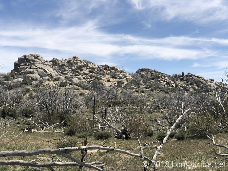
About that time on the trail, there were some interesting rock formations, and I also reached the top of the climb for the day; it would be mostly downhill from there to the road.
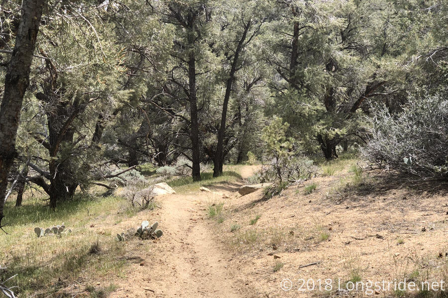
Parts of the trail today have had a weird juxtaposition of pine trees, grass, and cactus. I think it’s a sign that the trail is slowly starting to transition away from the desert and towards a more forested ecosystem. There’s still plenty of time for the trail to change; I don’t expect to reach Kennedy Meadows until early next week.
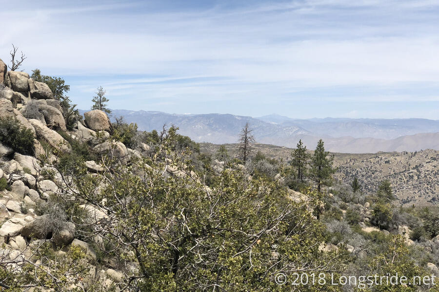
Off in the distance, barely visible, a flat-topped mountain with a snow camp appeared. A day hiker later confirmed that this is Mount Whitney. The tallest peak in the lower 48 states, it’s now only about 160 trail miles away. I should be there within a few weeks.
I arrived at our planned destination, Kelso Road, a bit before 3. There was zero shade there. Two other hikers had made makeshift sunshades by stringing up parts of their tents to fence poles and their trekking poles. I tried to do the same, but being one unit, my tent was too heavy and unwieldy to be strung up in such a fashion.
As expected, there was a water cache next to the trailhead, though it was a bit messy. Empty 2.5 and 5 gallon bottles were piled in the gap corridor between the no-access fence the trailhead went through. And, with there being no shade, all of the bottles that had water in them were out in direct sunlight, so they were all very warm.
We had initially thought there were about 10 gallons of water available, which seemed like it would be pretty tight with the number of hikers I knew were behind me. However, after Alias arrived, he found another 12.5 gallons buried under the empties.
Ice Man arrived next. Having stuck up a conversation with one of the day hikers (whose car was at the trailhead), she will be giving him a ride to a nearby town so he can go home. Ice Man, from Washington state, was no fan of the desert (and especially the lack of water), and the trail the last few days proved to be not fun for him. He plans to spend some time with his grandson, and then return to the trail, skipping up to Kennedy Meadows, when the snow report looks good.
As we passed away the afternoon trying not to overheat, a couple in a jeep stopped at the trailhead, smoke wafting from their car’s hood. A loose coolant line had made their vehicle not drivable; hot desert and low coolant does not a happy car make. They helped themselves to some of the water from the cache to partially refill their car, and we also gave them some duct tape to help keep their coolant line attached, at least until they could get to a garage and get proper materials. (In the middle of nowhere, though, they were a long way from help.)
Bob Dog, J Dub, and The Bird all arrived as expected, as did a number of other hikers, some of whom continued ahead (including Dylan, and Calamity, whom I first met in Tehachapi). Quoi apparently zeroed in Tehachapi.
While I discussed my tent with Alias, and Bob Dog overheard my complaint about how the sheathing my tent’s guy lines was worn off from rubbing against rocks in the wind. He offered some of his bear line (since he had more than he needed), and it was about the right size.
Tomorrow: On to the next water cache, 14.8 miles ahead, at Bird Spring Pass.