It was cold overnight, though not windy, and humid enough that there was condensation on my tent. Everyone else that camped there also had the same problem, and all four of us were waiting for our tents to dry in the morning sun before packing up and leaving for Kennedy Meadows. And, now that the skies had cleared, snow-covered peaks could be seen to the north.
The 6.3 mile downhill to Manter Creek was one of my fastest stretches of trail: it took me less than two hours to cover that distance.
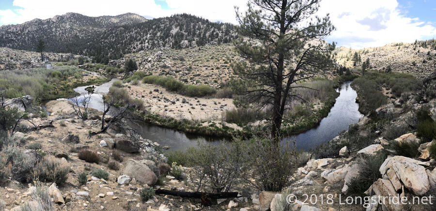
Between the creek and Kennedy Meadows was a gently rolling trail, partially following the South Fork of the Kern River. There were still some signs of desert — the cactus was a giveaway — but the desert has been continuing to dwindle.
I also passed the 700 mile mark. As usual, there were three markers written in stones, one of them enclosed in a heart.
I reached Kennedy Meadows shortly after 1. Kennedy Meadows marks the exit from the desert and entrance to the high mountain peaks of the Sierra Nevada. And while it still looks a bit dry out there, for the first time, I feel like I’m truly surrounded on all sides by pine forests. The desert is behind, the high mountains ahead.
After getting a burger at the general store at Kennedy Meadows, I got a ride to Grumpy Bear’s Retreat, which is where my bear canister was waiting. Grumpy Bear’s, which has a small bar and restaurant, and a large space for hikers to tent, is a small patch of civilization in the middle of nowhere.
Both Cannon and Sassy K made it the full 33.5 miles from Spanish Needle Creek to Kennedy Meadows (plus another 2.5 miles of roadwalk to Grumpy Bears), making it to the trail register at 1 am.
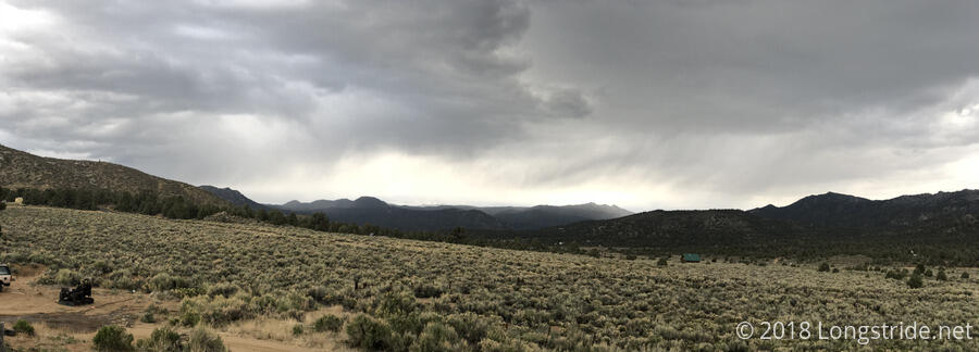
I picked up my bear can, set up my tent out in the growing tent city, and hung out with hikers for the rest of the evening. Clouds continued to move in, and as the afternoon progressed, it was clear that it was snowing out in the distance. (A few scattered drops of rain fell at Grumpy Bear’s.) This doesn’t bode well for the snow report, but the snow situation doesn’t look too bad currently. The current report is that the trail is largely clear up to Forester Pass (the highest point on the PCT), with waist-deep postholing past Forester Pass. With ten days of food, I should be able to take it relatively slowly, allowing more time for the snow to melt (or at least harden from freeze-thaw cycles) before I get there. Worst case, I can get off the trail and go into Lone Pine and kill a day or two there.
Tomorrow: zero, to let the snow situation improve and pick up some additional supplies.


