Today was my first full day in the High Sierra, and the trail did not disappoint with scenery.
It was cold overnight, so much so that the water in my water bottle partially froze. This probably makes last night the coldest night I’ve had on the trail since the Smokies on my Appalachian Trail thru-hike.
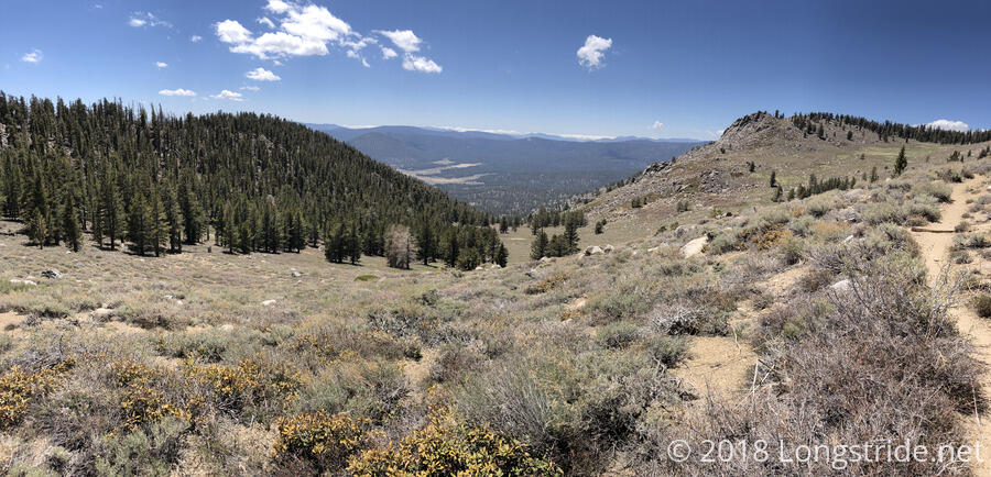
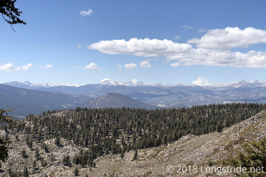
Sluggish thanks to the cold, I got started just after 8 am. The High Sierra provided its first big view, after the trail briefly exited the pine forest at the top of whatever mountain saddle I was on. The rest of the day, when the trail was not in the middle of pine forests, there were usually great views of the mountains and valleys, many of which were meadows.
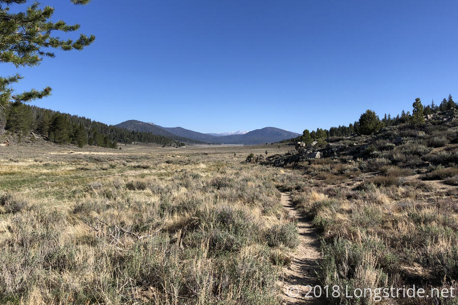
I took my first break (and used the opportunity to collect water) at another bridge crossing of the South Fork Kern River, in the Monache Meadow. Under the bridge were several dozen bird nests, and there was a swarm of activity as the birds flew around, seemingly gathering insects to feed to their young in the nests.
The other side of the river began a long uphill, which started out not too steep, and then got fairly significantly steeper as the climb progressed. As it got steeper, my pace slowed, and it became a pretty big chore thanks to the excessive amount of food in my pack.
Frustrated with my progress up the hill, I put on some music, which only helped a little bit; at least I had something else to focus on besides how heavy my pack was.
I took another break about five miles after the river, roughly 2.5 miles from the top of the first major climb for the day. There was a large tree that provided shade, but it was actually too cold in the shade! I had to put my fleece and pants legs back on and sit in the sun in order to feel vaguely not cold.
After finally cresting and beginning my descent down the mountain, the music I had on really began to help, and I hiked down the mountain faster than I probably should have been, given how heavy my pack was. One of my shoelaces came untied twice, I’m guessing as a result of being hit by my trekking poles flailing around.
Starting in the late afternoon, there was a small amount of snow along the trail, the first, I think, since Baden-Powell. It wasn’t really much of an obstacle, but a reminder that there’d likely be more snow up ahead as the trail climbs towards the PCT’s high point, Forester Pass.
I took a third break around 4:30, which turned into a dinner break, at the evocatively-named Death Canyon Creek. While I was there, Sassy K caught up — she had been taking a break somewhere I didn’t see as I charged down the mountain. Her goal was the campsite near the top of the next climb, which is supposed to have great views of the valley below for sunrise and sunset, making for a nearly 23 mile day.
After dinner, I continued hiking, planning to make it as far up the next steep climb as daylight permitted. To an extent, I was chasing the sunset: I wanted a campsite that would give me a good view. I got to a campsite with a good view shortly before sunset, too, but the sun had already dipped behind a mountain to the west.
I had wanted to keep up with Sassy K and her group, but having dinner when I did killed two hours I could have used to climb the mountain (and then cook dinner in the dark, or worse, have another snack dinner). Also, knowing me, I wasn’t likely to get out of my sleeping bag for a sunrise view if it was anywhere near as cold as it was last night. So, continuing to charge up the mountain after sunset would just have been doing miles for the sake of doing miles, and that’s not really why I’m out here.
For, I think, the first time on the trail, there were no cactuses today. I take that as a sign that I am now truly out of the desert.
Mount Whitney continues to loom in the distance, and was visible several times today, including at my campsite. Now, it is only 42 trail miles away (18.8 as the crow flies).
Tomorrow: Catch up with Sassy K and company if feasible, though that will likely require an early start. Get up and see the sunrise from my campsite if it’s not too cold.


