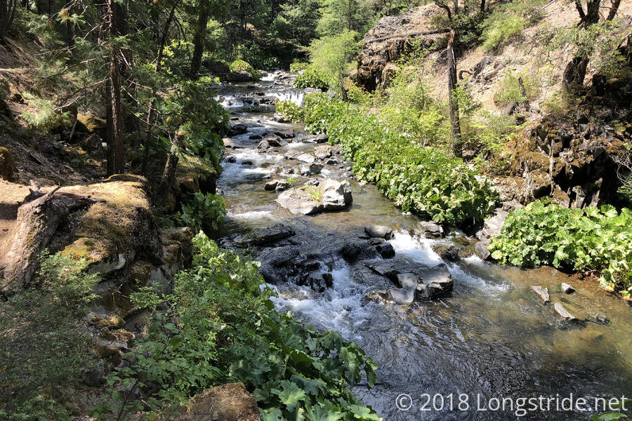
At risk of sounding like a broken record, it was warm overnight, and possibly the warmest day of my hike yet. I couldn’t see any clouds when I left camp shortly after around 6:15, so the prospects of shade from the sky today seemed limited.
After crossing the McCloud River via footbridge, the trail continued on into the forest, first descending to a creek called Fitzhugh Gultch, and then climbing back out of the river valley.
My first Break was after about six and a half miles. Apart from the river, there were no views, as the trail stayed under tree cover. It was mostly easy trail, though there were some short sections where the trail was very narrow, and on verge of being washed out.
I stopped at the Yét Atwam Creek around 11:30 for my “dinner” break. The campsites in the area where I wanted to stop for the day weren’t near water, and I didn’t want to have to carry more water water than necessary, especially with as hot as it’s been. (Thanks to cell service at evening camp, I discovered that the high for the day was 95.) By doing dinner at lunchtime, it saves me from having to camp near water (or carry cooking water to camp), and also removes roughly a pound of weight from my pack.
Rather than eat next to the trail (which didn’t have a whole lot of shade), I walked towards the Cabin Creek Trailhead, a short distance off the PCT after the trail crosses Yét Atwam Creek over a bridge, which has some campsites and easy access to the creek. I expected to have the place to myself, since it was a weekday, and off-trail. However, when I got to the river access (which had enough shade to be usable), I found there was someone else there.
Scott, whom I initially mistook to be a thru-hiker since he had a hiker-sized pack, was very chatty. He’s a backpacker who hitchhikes around to different places with good fishing. Most recently, he had been on the Klamath River; now, he was trying to get to Mammoth Lakes. He had been dropped off here by a local who would return later to pick him up. We talked for a good two hours while I was cooking and eating dinner, and coincidentally, I finished and was just about finished packing everything up when his ride, Ed, arrived. We wound up chatting for another few minutes, and he warned that there were mountain lions in the area. (As if we hadn’t already had enough of those!)
Thanks to the conversation, I was stopped at the creek for almost three hours, longer than I planned, but given how hot it was, sitting in the shade while the sun was at its most intense was a smart thing.
The trail from the creek was a long, steady uphill, though with enough tree cover to provide shade from the sun (and an occasional light breeze, and later on, some brief assistance from a cloud), it wasn’t too awful to hike. (Though I was still sweating profusely.)
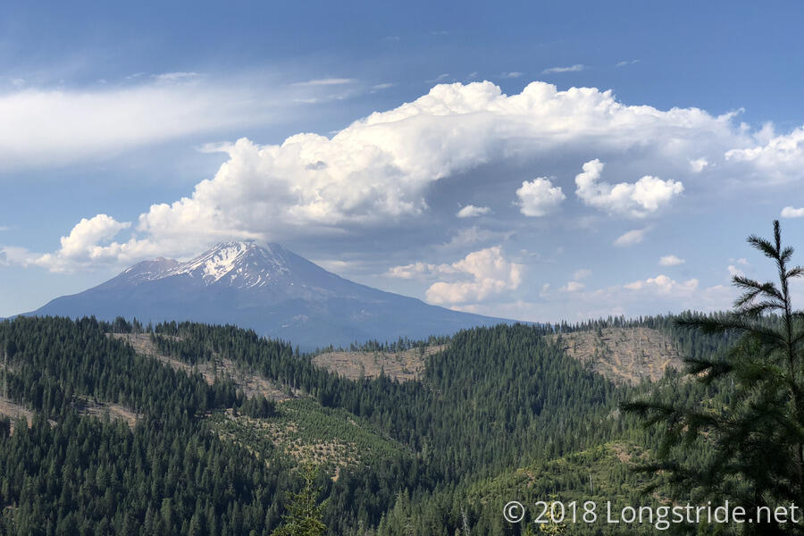
Briefly, near the top, the trees parted long enough to showcase Mount Shasta, its summit poking into the clouds. There were also views to other mountains to the north, and an impressive rock formation, Castle Crags, which was hard to photograph because of the direction of the sun. (Maybe there will be a view tomorrow.)
On my way to my chosen campsite today, I stopped at a small creek to refill my water bottle and get extra drinking water for tonight.
My campsite for the day, nestled in a flat area between two trees, is 25.5 miles from where I started — surprisingly, my first day between 25 and 30 miles on the PCT — and a short 4.7 miles from the road to Mount Shasta tomorrow. Also here are Angel Baby, Puff, 4 am, and Calamity, who are also going into Mount Shasta tomorrow morning.
The hitch into town is reportedly difficult, but there is a trail angel that gives rides to hikers. I contacted him this evening, and the five of us should have a ride into town tomorrow morning, so that’s one problem taken care of. (Check-in at the hotel I’m staying at is 3 pm, so town chores might be a little bit of a nuisance tomorrow with having to drag my pack around town.)

