Again, despite a 4:30 alarm, I didn’t start hiking until 6:30. I’m really looking forward to getting to town tomorrow and taking a short break; I feel like I’m getting more and more tired.
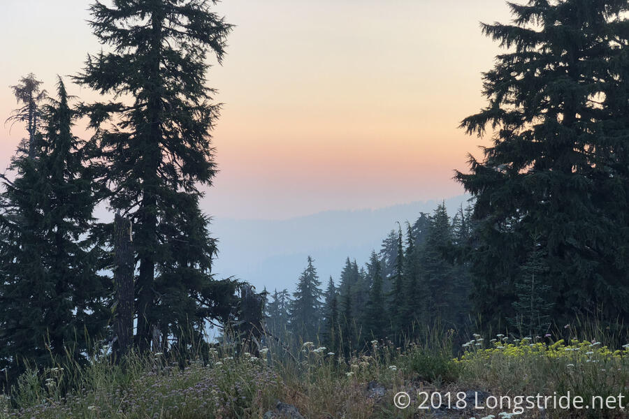
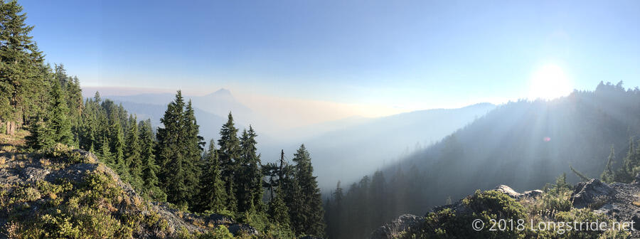
The smoke from the fires was still in the air, still smelling like a far-off campfire. It really helps that the trail is at a higher elevation than the smoke has leveled off at, and it also makes for a more colorful sky in the mornings.
Low on water after last night, I stopped at the Alex Hole Spring after about four miles. The spring, down a steep hill, didn’t have much in the way of a drop, requiring me to use a scoop to get water from a pool. The water was pretty cold and refreshing. I had maintained a good pace to the spring, but I still felt a bit tired. I chalked it up to it being almost two weeks since my last zero.
A couple of miles past the creek, near a campsite, I passed a pit toilet next to the trail. The toilet, no more than 20 feet off the trail, consisted of a box with a seat on it. There was no privacy wall or anything, so anyone using it was fully out in the open. I’ve seen some partially exposed privies on the trail, but this one was absolutely the most exposed one I’ve ever seen.
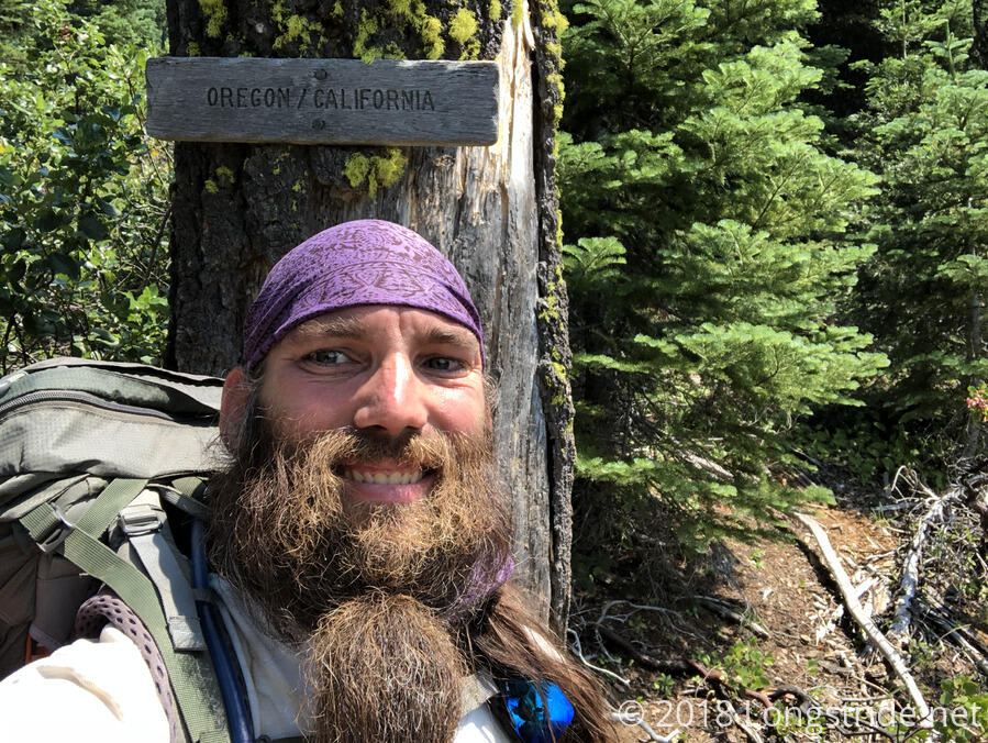
I took my next break at the Donomore Cabin, dating back to the 1930s, that sat in a field near the trail. Originally used by locals whose livestock roamed the meadows, the cabin had fallen into disrepair as roads improved and it became more accessible, especially by the PCT. However, there are ongoing efforts to repair the cabin. Besides offering shade from the sun, there were several chairs in the cabin, so I was able to completely get off my feet while I was there, and I took a short nap.
Shortly after the cabin, after 1691.7 miles on the trail, I reached the California/Oregon border. It’s great to finally be in another state. (By this point on the Appalachian Trail, I’d completely hiked though 11 states and was halfway through the 12th.) And, it seems like I got it of California just in time; there are a number of growing fires that are causing problems further south.
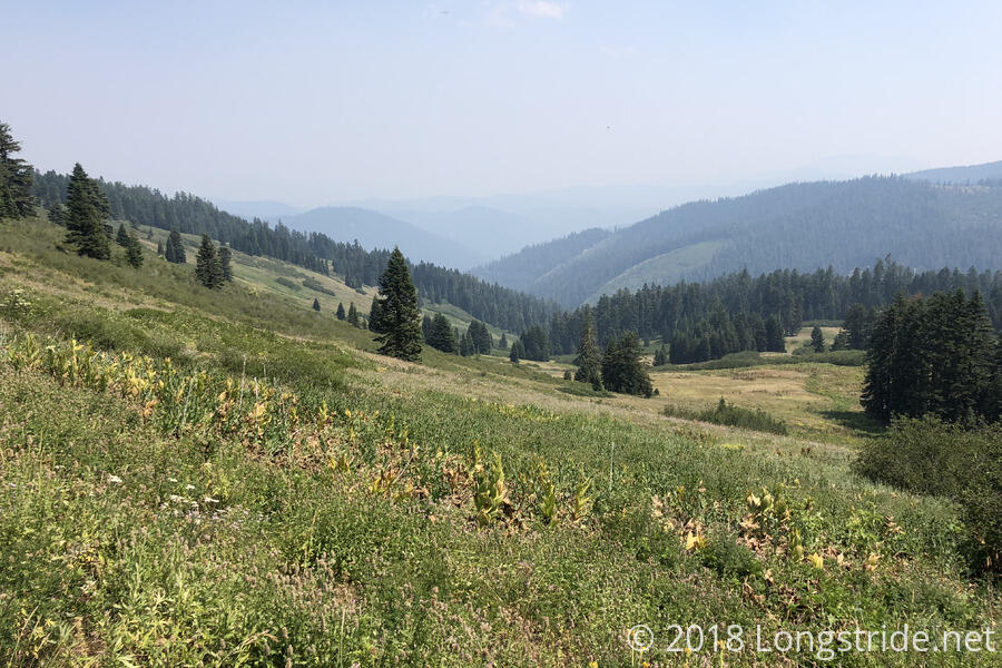
The afternoon felt cooler than it had been in recent days. I wasn’t sure if that was because it was actually cooler, or if it was because the forest had been providing substantial cover from the sun since it wasn’t in a burn area. A little while later, at the first spring in Oregon, I met a couple and their dog who were collecting water to take home (a dirt road crossed the trail at the spring); they said that in the valley, it was 105 °F, so probably was just the shade that was helping.
I stopped for water and dinner at a stream that crossed the trail a mile further. There wasn’t really anywhere level, so it wasn’t the most comfortable break, sitting on a slope, but it wasn’t too bad, and at least it was shaded.
With two hours of sun and heat gone, it felt a lot cooler when I continued on, and I went another five and a half miles to a campsite, passing 1700 miles and bring me to 23.4 miles for the day.
Tomorrow: 15 miles to Ashland, Oregon.