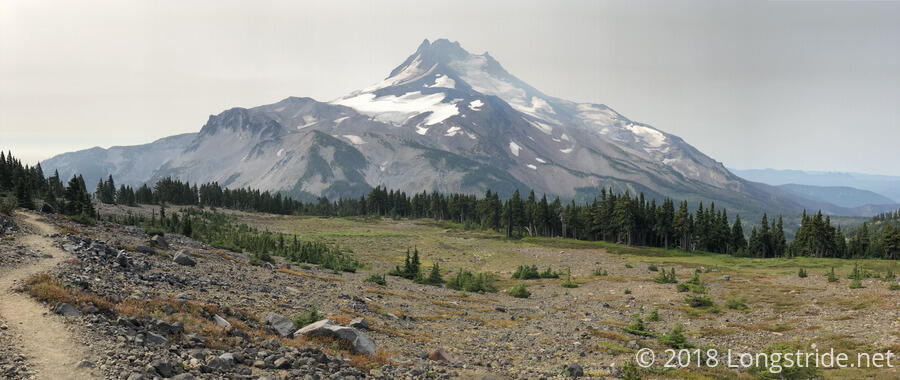
The day started off overcast, with a cool breeze blowing. After a brief dip, the trail started a somewhat strenuous 2,000-ft climb over six miles, to the west, and then north, of Mount Jefferson, offering many great views of the mountain along the way.
The burn area I entered yesterday evening continued for a few more miles, with notices posted warning of the dangers of hiking in burn areas. (Why the notices weren’t posted at the start of the burn area is beyond me.)
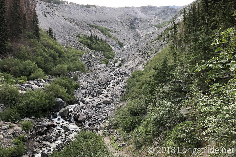
After 2.5 miles, the trail reached Russell Creek, which was probably the largest (or, at least, most difficult) water crossing I’ve had since the Sierra. There wasn’t that much water, and it didn’t appear that deep, but it was relatively fast moving and the steepness of the canyon the creek cut meant there was a series of waterfalls, and not a single calm, wide stretch of water for easy crossing. It took a bit of searching around and going further upstream to find a safe dry crossing. Once across, its also took a little time to find the best path back to the trail. It wasn’t really all that difficult, but I seemed to be more jittery than usual. I wasn’t sure why that was at the time, but I think that besides the cooler temperature and wind, I was just tired, and that was manifesting as nerves. In either case, I’m glad I wasn’t doing this crossing last night, when the water level would have been higher and I’d have been even more tired. I think I was also wary of my boots not being very grippy; they have over 500 miles on them now, and especially from the several miles of lava rock, their soles have been pretty worn down.
There was also a dead horse in the creek, just a bit downstream of the obvious (though wet) trail crossing. Its head was stuck underwater, and its rear end was fairly bloated. It’s been there long enough for someone from the forest service to have stapled a notice on a tree a mile earlier warning of an “animal carcass” “in the area” around Russell Creek, and to be aware of “increased animal activity”.
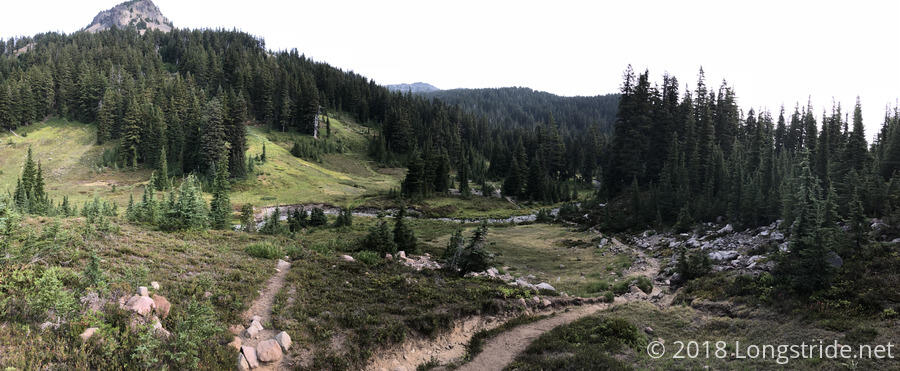
After the creek, the trail briefly took a more moderate slope, heading up to a meadow on a plateau that had clear views of Mount Jefferson.
After passing through the meadow, the trail resumed its steep climb, with Mount Jefferson frequently in view. With some (but not a lot) of tree cover, more and more of the mountain’s main bulk came into view as the trail climbed ever higher.
The top of the six mile climb brought a new mountain into view: Mount Hood, the tallest mountain (and volcano) in Oregon. About 50 miles away, the trail runs along its southern and western sides as it passes by Timberline Lodge and near the town of Government Camp. Naturally, smoke from fires obscured the view, and only the lower portion of the mountain was clearly visible.
Near the beginning of the long downhill that followed, there was a small patch of snow on the trail. While it would have been fairly easy to walk around it, I went through it just because. Tired from the long, steep climb, I took a break at the first campsite coming down the mountain.
The trail from the top was pretty rugged. Most of the ground was loose rocks, and with the downhill, it slowed my pace considerably. My shoes were definitely showing their age; it didn’t feel like there was much padding between the ground and my feet.
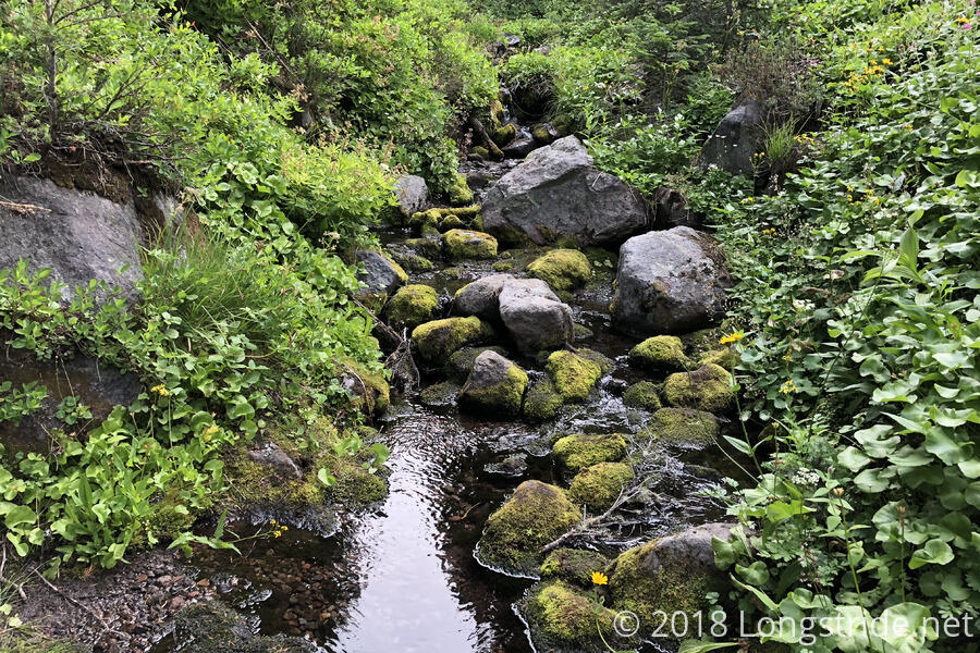
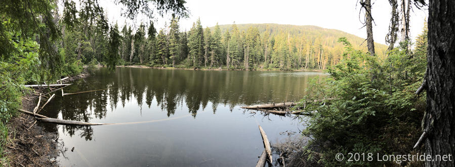
Tired, and my feet hurting, I stopped for another break barely more than three miles later, at a pond next to the trail. I had been going pretty slow; it took me almost two hours to make that distance. Needing a long break, I cooked dinner there.
After the pond, the trail continued downhill. It still had some rough areas, but it was a bit more gentle overall.
A short side trail took me to Olallie Lake and the small general store they have at the resort there. I treated myself to a beer and two sodas and had the snacks I usually have at breaks, though I got to do so sitting on a bench, rather than the ground, so that was nice. (Also nice was being able to throw out my trash.) In a rarity on the trail, the store did not have electricity.
After a nice hour-long break, I continued on, stopping a little less than four miles later at a campsite on Jude Lake. Thanks to the steep climb towards Jefferson and the rough ground coming down, I only got 19.6 miles in today. A little disappointing, but not too bad all things considered.
I discovered while setting up my tent that the top of my left boot has a tear above the toes. That by itself is probably not going to cause any problems, but it’s just one more sign that I need to replace my boots. I’m a little unclear how I’m doing to do that yet, but it’ll have to happen at some point before I get too far into Washington.
