It was cool and humid this morning, likely because of my proximity to the rushing Muddy Fork. I wasn’t especially keen on getting out of my sleeping bag, but I knew that the further I could make it today, the earlier I would get into town tomorrow, so I got myself moving relatively quickly.
The day started off with a steep 2.5-mile climb, the last lengthy steep climb in Oregon. At the end of that climb, the PCT diverged from the Timberline Trail that circles Mount Hood, and dropped down, somewhat steeply, to Lolo Pass. Although a bit short (only 5.2 miles from where I started today), I took a break there because there was a picnic table.
After the pass, the trail entered the Bull Run Watershed, which provides water for the city of Portland. Public access to the watershed is prohibited except for the PCT; at several places throughout the watershed, notices warn of dire consequences for anyone who trespasses on watershed lands.
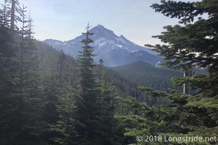
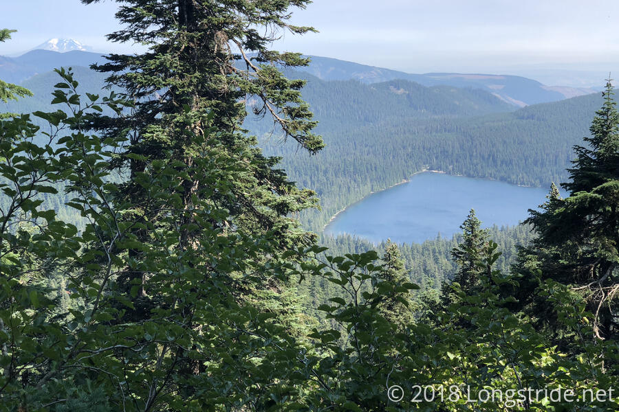
As the trail climbed, there were open views to the east, and I got a good look at Mount Hood, as well as Mount Adams, another volcano in the Cascade Range, and the first in Washington.
I took a break a little after noon, at a campsite directly across from Bull Run Watershed no-trespassing signs. In the shade, it was somewhat cool, and a breeze that was blowing through made it almost cold.
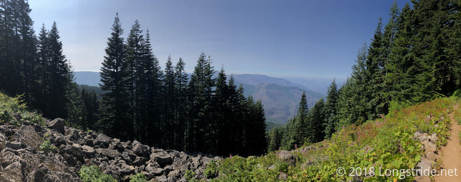
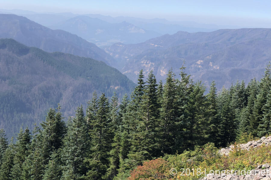
From Lolo Pass, it was mostly a gradual uphill, with a couple of short downhills. Not long after the campsite, the trail left full forest cover, cycling between forest, patchy areas, and fully-exposed trail on a ridge along the side of a mountain.
This provided some views in the general direction of Cascade Locks and the Columbia Gorge that separates Oregon and Washington, but I was still far enough away that I couldn’t clearly see either.
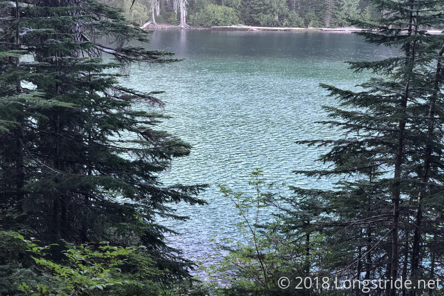
After 21 miles, a little before 5, I stopped at Wahtum Lake for a break, and to cook dinner. While I likely could have gone further, I decided that, given the apparent spacing of campsites between there and Cascade Locks, and the number of people I expected were ahead of me, it’d be better to stay where I was, than push on.
On the way to Wahtum Lake, I passed the turn-off to the Eagle Creek Alternate, which by accounts, is normally a very beautiful trail, including a place where the trail goes through a tunnel blasted behind a waterfall. However, the alternate is closed as a result of last year’s Eagle Creek Fire. Tomorrow, I’ll be hiking through a portion of that fire’s burn area on my way to Cascade Locks.
