Another long day brought me to the end of the section between the Rākaia and Rangitata Rivers.
It was pretty cold overnight, cold enough that there was frost on the plants outside. My socks and boots were still damp from going through the rivers yesterday, but they dried out surprisingly well.
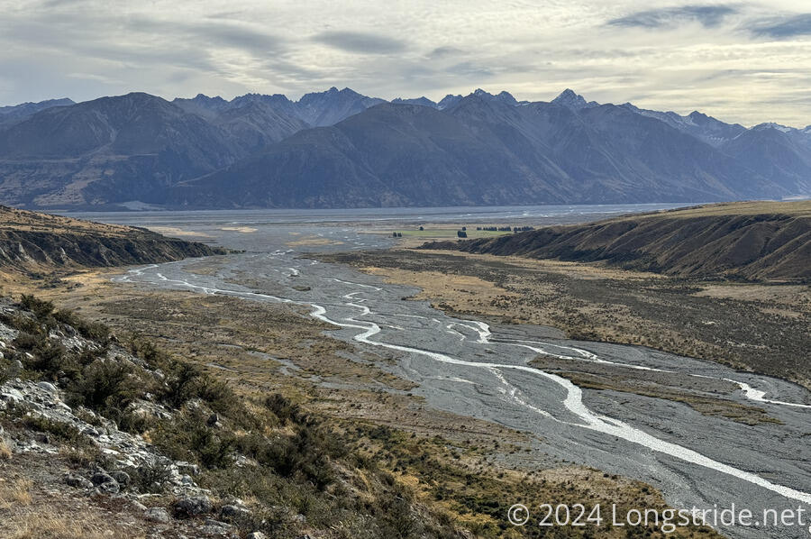
After walking the kilometer back to the trail, I resumed hiking at 8 am, starting a planned 37 km day to the car park at the end of this section of trail. With such a long day, I was quite happy when the trail started off on an ATV road. I was surprised, though when I came across a 1 m flood stage marker next to the road. At this point, the road was at the far edge of valley, with the river nowhere in sight, so it seemed pretty surprising that this particular area could be covered with a meter of water.
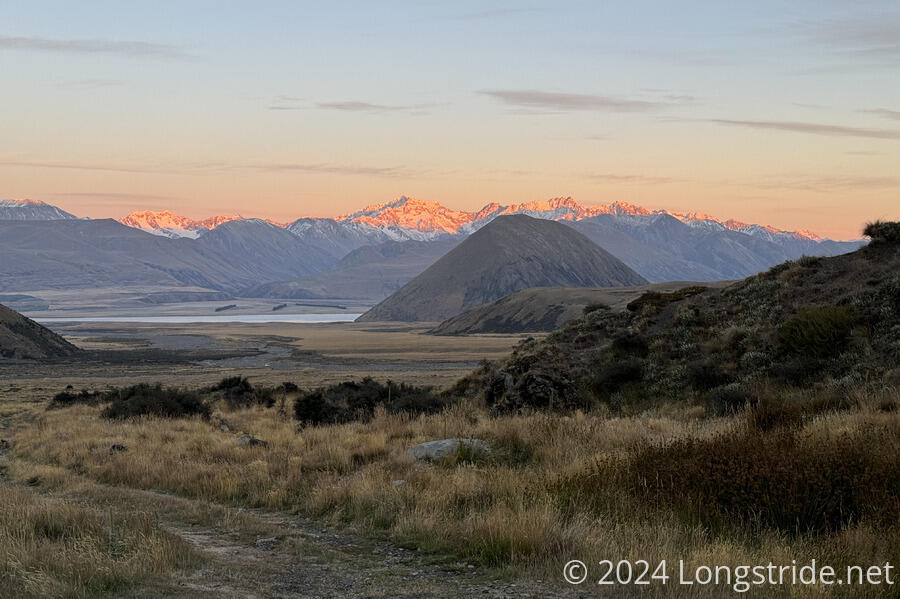
It took the sun 45 minutes to peek over the mountains after I started, so until then, it continued to be fairly chilly out. With a light breeze, my hands were quite cold, and I briefly wished I had taken my gloves out of my clothes bag.
The next hut after Double Hut is Manuka Hut, just over 5 km away. On my way there, I passed nine northbounders. With them and three of the hikers that were on my shuttle yesterday also heading there, the hut must have been packed, and/or a lot of people tented. Like Double Hut, Manuka is a bit off-trail, so I didn’t take the time to visit the hut.
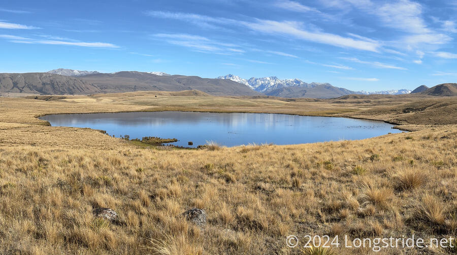
The trail departed from the ATV road, cutting across some scrubland and steeply climbing up and over a hill. On the other side, the trail passed a lake with several dozen swans paddling around.
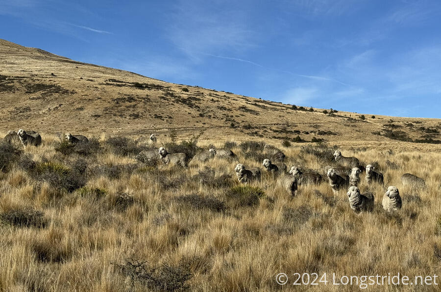
The trail then joined another dirt road to travel through a sheep station. I stopped for a break after the trail exited the farm and joined a public (dirt) road. With most of the trail on road (or near-road), I’d made fairly good progress, nearly 13 km in just under 3 hours.
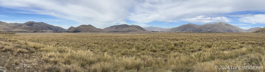
I continued following the road for another hour, branching off to join a dirt track in a grassy meadow. I largely zoned out listening to podcasts for most of the afternoon. The trail was easy, and the scenery wasn’t so stunning as to demand constant attention.
I caught up with Mikel, Matt, and Leonie after following the tussock-covered meadow for nearly two hours, while they were finishing their breaks. I took another break shortly after (having hiked 25 km since returning to the trail from Double Hut), during which they all passed.
Shortly after, as the trail went down a would-be steep hill, the actual marked route diverged into a series of wide, sweeping switchbacks, rather than charging straight down the hill that my map indicated. Though, I didn’t realize that’s what my map said until I checked it after deciding the switchbacks were a waste of time, at which point I was too far off from where the map said I should have been to do anything but follow the switchbacks to their conclusion. (It did, though, seem like it may have avoided going through some wetlands; if so, my feet were much happier being dry.)
The trail continued to slowly descend, until it reached an embankment high above the Potts River. A final, steep descent brought me down to the river, which I then had to cross. This wasn’t much fun. The river was knee-deep, swift flowing, and blue-gray with glacial flour and lots of tiny rocks that filled my boots. This turned me off of wanting to cross the Rangitata. But, that was a problem for later.
Shortly past the river, I came to a car park, reaching the end of the section between the Rākaia and Rangitata Rivers. After nearly 38 km, it was a further 3 km to the Mount Potts Lodge, the only reasonable place to camp. (Or I could have camped at the car park, but there wouldn’t have been a great benefit of doing that, given there was food and wifi at the lodge.) From here, the official trail is to hitch or get a shuttle around the river, a 120 km detour.
As I sat down to get the rocks out of my boots, a guy drove into the parking lot, coming from the direction of the lodge. We talked briefly, and on a whim, asked if he’d be willing to take me the 3 km up the road to the lodge. He pondered for a moment, and agreed, saying that he didn’t mind because he loves driving around in the mountains.
A few minutes later, I was at the lodge, and decided to splurge on a private room rather than set up my tent.
After a shower, I joined Matt, Leonie, and Mikkel for dinner. They’re still planning on fording the Rangitata, and at least for now, the river’s flow rate has been steadily decreasing. Armed with the knowledge that a group of people had crossed yesterday morning (apparently safely), I was willing to entertain the notion of crossing the river. Largely because it would probably take a couple of days to hitch around, or else a very expensive shuttle for one person.
I brought an extra day of food for the section between the rivers in case of bad weather. But I’d also planned on hiking the section in three days, rather than two. With that, plus dinner at the lodge, I actually have enough food to make it the rest of the way to Lake Tekapo; I don’t need to go off-trail to resupply.