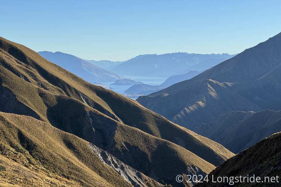
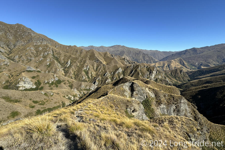
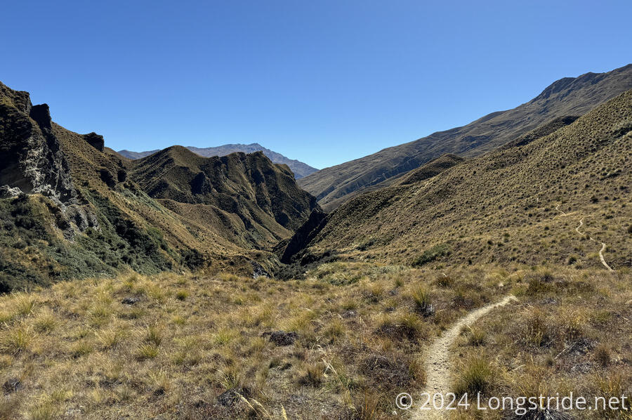
My second day along the Motatapu Track was shorter than planned, but still provided some nice views of the rugged mountain wilderness.
With a long, strenuous day planned from Fern Burn Hut to Roses Hut, I wanted to get up early and get hiking as soon as possible. However, sunrise is now almost at 8 am (and sunset just barely more than 12 hours later), and it’s really hard for me to get moving when it’s dark out. And especially given the steepness of the trail I’d be hiking, I didn’t want to start off in the dark.
Fortunately, there was only one other hiker in the hut, and they were up at 7, which aided in getting me moving while it was still dark out, and I managed to start hiking at 8 am.
From the hut, the trail started a steep uphill on mostly good trail tread, heading up the Fern Burn’s valley. It was occasionally a bit overgrown, but it that was manageable. There were also several small creeks to cross, which were problematic only in that there were wet areas on steep track to avoid.
The only real problem was the excessive steepness of the trail. It took me two hours to hike 3.4 km to the end of the first climb, to Jack Hall’s Saddle. Along the way, there wasn’t too much of a view, except briefly when Lake Wānaka was visible behind me. Once at and over the saddle, the incredible ruggedness of the Motatapu Range became evident.
From the saddle, the trail began a ludicrously steep downhill (over 30% grade) along a narrow ridge. After crossing a creek, and steeply climbing up and over a ridge, the trail meandered around the mountainside, arriving at Highland Creek Hut. Getting there from the saddle was nearly another two hours, for less than 3 km.
At the hut just before noon, I stopped for a break. But even after my snacks, I was tired.
It’s unclear to me how long the next 10 km to Roses Hut should take (DOC estimates 7-8 hours; TA trail notes suggest 4-5 hours), but what was clear to me was that I didn’t feel like pushing forward today was a good idea. I didn’t like the idea of stopping after such a short day, but there is nowhere to camp between Highland Creek and Roses Huts, so leaving Highland Creek would commit me to pushing through to Roses. And given the description of the section in the trail notes, being tired was not a good state to be in to do the next section.
I dithered on the decision until 1, at which point I decided that I needed to stop at Highland Creek Hut. At least, the hut has good views down the valley from its large windows.
Rather than actually taking a nap, I listened to podcasts while completing a tiny jigsaw puzzle someone had left half-complete on the hut’s table. Once that was done, I finally did take a short nap.
Once I made the decision to stay at the hut today, I was somewhat confident that I’d be the only sobo here at all, and whether or not I was alone would be dependent on there being nobos. By the time I was done with dinner, it was pretty clear that I was going to have the hut to myself overnight.
Tomorrow, I’ll definitely make it to Roses Hut. Ideally, I’d go on from there to the historic Macetown ruins and camp there, so as to only be half a day behind my initial plan, rather than a full day behind. That’d be ideal since the last weather forecast I saw for Friday was calling for the possibility of rain, and the most efficient way to Macetown is by walking down yet another river instead of taking the high route. But, whether that’s feasible or not depends on how long it takes me to get to Roses Hut tomorrow. With no one else here, that’ll remove any excuse for not getting up early so as not to disturb other hikers. Hopefully, that’ll be enough to get a reasonably early start tomorrow.


