A muddy track up and down a mountain brought us to the Makahika Outdoor Pursuits Center, where we collected our resupply package and prepared to enter the Tararua Range.
CareFree and I left Tokomaru Shelter shortly before 8, continuing along the gravel road we’d started yesterday. It was overcast out, but otherwise not bad.
This part of the trail was on private property; as we passed by a small parking lot presumably beyond the boundary, a private property sign granted walking access only to “Te Aroha Trail”.
Another forty minutes on the dirt road took us past a dam on the Tokomaru River, and brought us to the Mangahao-Makahika Track.
The track took us steeply uphill for a while, before somewhat moderating its ascent. In dark forest, I again had to take my sunglasses off to see. (It didn’t help it was still overcast.) The trail wasn’t too hard to hike, though it had plenty of muddy sections that were mostly dry. On a rainy day, or after a big rain, there would have been mud pits everywhere.
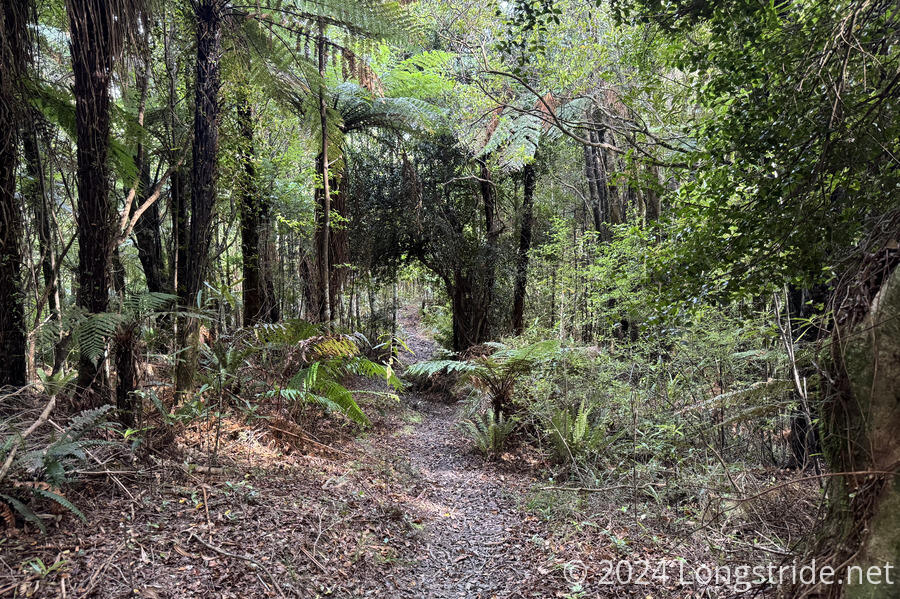
We crossed a number of small streams via rock hop. These also were easy, since water levels were low, and we were able to keep our feet (mostly) dry all day. (Sure, they were caked with mud at the end, but our feet were still dry.)
The combination of the steep climb and the humidity in the air again completely drenched my shirt. It was a little disconcerting; I don’t recall getting this soaked even on the Appalachian Trail, though that was long enough ago I may not be remembering the summer humidity well.
Shortly before we reached the apex of our climb, it started to rain, and we put on our pack covers. The rain stopped very shortly after.
A short while later, we reached the Horowhenua Lookout, a small clearing ringed with trees. A view was only possible by climbing up on a short platform. When we got there, the clouds obscured nearly all the view, but we had cell service, so we took advantage of that while we could. That gave the clouds time to blow away, and we got a little view of the farmland to the west.
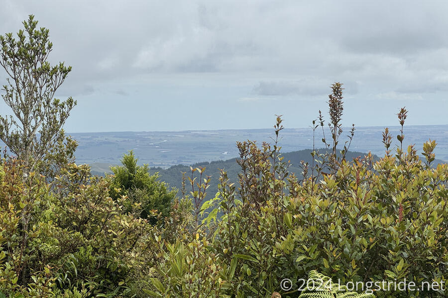
Shortly after the view, we began our descent off the mountain. We passed another viewpoint, Archey’s Lookout, which had a clearer view to the west, though tall shrubs still got in the way. We were able to see the northern tip of Kapiti Island, just off the west coast.
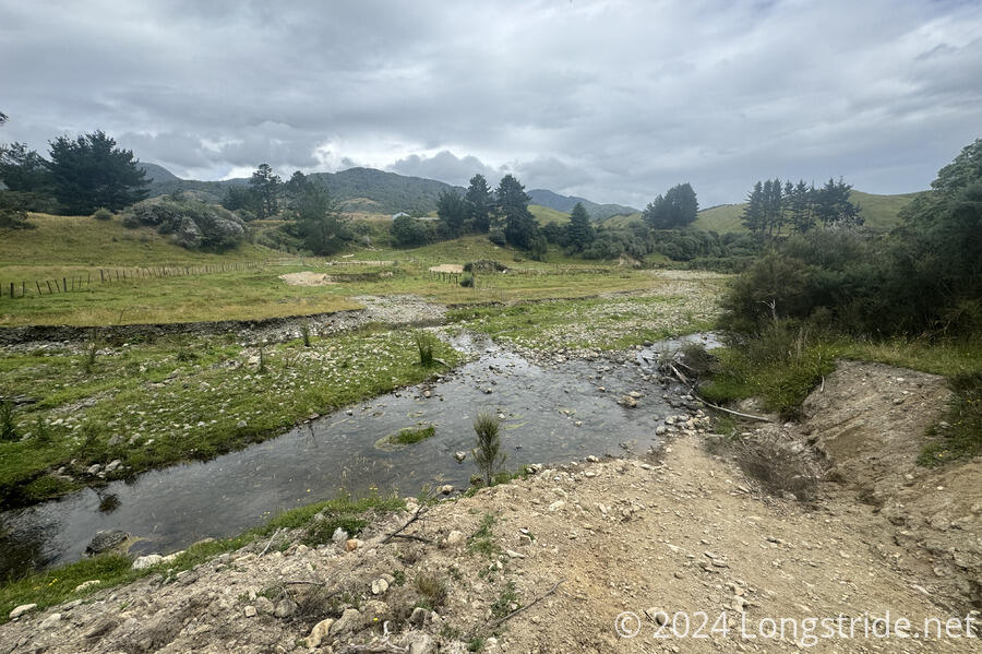
The descent started out steep, and gradually lessened as we got lower. With less steep trail came more mud, though. Further down, we had a large number of stream crossings, but all of them were easy to rock-hop thanks to low water levels.
By the time we exited the forest, the sun had come out, and a warm and slightly dry breeze blew, helping to dry off my still-soaked clothes.
The track ended at a stile leading to a farm. We climbed over the fence and followed a farm road, crossed a couple of streams, scrambled up and down the eroded side of a hill, and passed a few cows on our way out of the farm.
We then followed a dirt road for another 20 minutes to the Makahika Outdoor Pursuits Center, an education and corporate outdoor activities retreat. They’re also TA-hiker friendly, and provide hikers with a place to camp, shower, and sit under a pavilion tent.
Upon arriving, we met Sally, one of the owners, who had just corralled half a dozen runaway calves that had gotten loose from the neighbor’s property. She gave us the very brief tour, our resupply we ordered from New World when we were in Palmerston North, and said she’d be back later this evening with an update on the weather in the Tararuas.
After a sweaty and very muddy day today, the shower was wonderful.
We repacked our resupply, relaxed, and eventually cooked dinner. However, we were really getting worried about the weather forecast, which looked to be downright awful for going through the Tararuas. We considered flipping down to Wellington and hiking back up to here in the hopes the weather situation might be better a few days later.
Sally, however, pointed us to a weather website that had forecast stations in the Tararua Range, and they had significantly better forecasts. She also gave us a couple of pointers on the weather, and we felt a lot more confident about heading into the mountains tomorrow. We were glad, because the Tararuas are supposed to be one of the highlights of the North Island, and we didn’t want to miss them (or go through them and see nothing but cloud).
A thunderstorm forecast for this evening never happened, which I took as a good omen for the weather tomorrow. The long, steep climb tomorrow into the Tararua Range will be vastly easier in good weather.