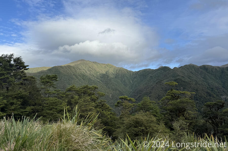
Today, I entered the Tararua Range, an extremely strenuous mountain range towards the south end of the North Island.
Although we expected a long, strenuous day, CareFree and I didn’t really get up any earlier than we normally did.
As we were slowly packing up, a van stopped at the entrance to the driveway, and the Czech guy we saw two days ago at Tokomaru Shelter got out and came over to us. He asked if we’d seen a blue bandana somewhere yesterday. I hadn’t, but CareFree said she saw it, between a stream crossing and the climb up the eroded cliff in the farm near the end of yesterday. He thanked us and ran back to the van, which continued down the road towards that farm. Shortly before we finished packing, the van drove past again, heading in the other direction.
CareFree and I got off to a slow start today. Her feet have been bothering her since we left Whanganui, mostly blisters possibly initially caused by having wet feet for most of the canoe trip, but exacerbated since Palmerston North with a change in shoes. Yesterday, she’d been having foot pain, possibly due to walking differently in an attempt to avoid irritating the blisters. But overnight and this morning, the pain had grown worse — she was feeling pain even through an ibuprofen — and didn’t sleep well because of it.
As we walked down the road towards the trailhead to the Tararua Range, the pain worsened, and she agonized over whether to push through the pain, or get off trail. She was already considering bailing before; the North Island isn’t fun for her with the roadwalks and New Zealand’s haphazard approach to trail maintenance, and she doesn’t have the South Island to look forward to as I do — she’s already hiked the South Island, and has to go back to work at the end of January. But now, there was the possibility of an actual injury, and the potential of becoming a SAR statistic if she pushed too hard into the Tararuas and got hurt. And, since she lives in Auckland, she can come back and to the Tararuas “any time”. (It’s not feasible for me to skip this section and come back later; by the time I finish the South Island, it’ll be too late in the year to hike through the Tararuas.)
So, when we reached the road intersection that would take us to the Tararua Range, instead of the nearby town, Levin, she decided that she needed to stop, and that I should keep going. She’ll go back to Auckland, rest her feet, get another pair of shoes, and meet me in Waikanae, the next town the trail goes through, hopefully in three days.
This meant shuffling some gear. We’d split our tent between the two of us, so now I needed to take the whole thing. Which is a significant nuisance, since I shouldn’t need it at all until after Waikanae. (Ideally, I’d have given her the whole tent, to lighten my load, but not having a tent on this trail would be irresponsible. Since the tent is (at the moment) for emergency use only, since I expect to be staying in the huts, I opted to not take its ground sheet with me. (Later, in retrospect, I realized that it would have been lighter to take the ground sheet and leave the tent body, since the ground sheet + tent poles + rainfly produces a functional, if limited, shelter.) I also took her battery, so that I can keep my watch charged.
By sheer luck, the trail angel that had given the Czech couple a ride this morning came back to the intersection once we’d finished stuffing the extra items into my pack, and was able to immediately give CareFree a ride into Levin, so she could catch a bus back to Auckland.
With CareFree off to recover, I turned down a dirt road and continued heading towards the Tararuas. After signing the log book at the trailhead, the TA continued on the Gable End Track, starting off through a farm (with cows, because of course there are).
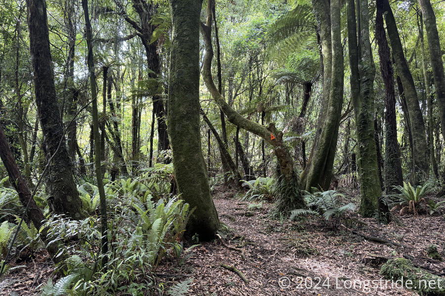
Entering the forest, the TA turned onto the Waiopehu Track, heading up to Waiopehu Hut, just below the summit of Waiopehu Mountain.
This track immediately became very steep, and it was a slow grind. I took a break in a flattish saddle between that climb and the following not-quite-as-steep climb.
The main difficulty on the trail up to Waiopehu Hut was its steepness. Fortunately, the trail was in reasonably good repair, and there weren’t too many hard steps, but I was going up. Coming down probably would have been more difficult, at least in that respect.
While in the forest on the way up, I passed eight hikers heading down the mountain, two of which I recognized from the Whanganui River excursion; they’d evidentially flipped south to head north to take better advantage of the weather.
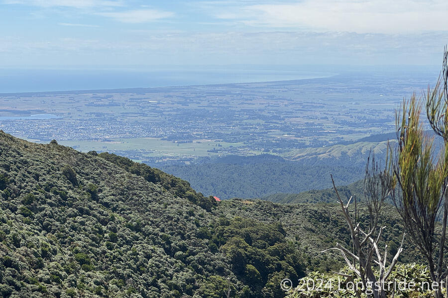
The forest eventually gave way to grasses and alpine scrub as the trail went above the tree line, and the trail took on an annoying tight sinuous route, probably to slow water running down the track. To the left, the view occasionally opened up to mountains deeper in the range.
Shortly before 2 pm, I reached Waiopehu Hut, and sat down on the stairs to its rear deck and viewing platform, taking in a great view of the ocean to the west.
The air in the forest on the way up was incredibly humid, and my clothes got soaked nearly as bad as they were yesterday. They dried out a bit at the hut during my break, but I couldn’t really take them off and bake them in the sun like I was able to yesterday. (My “town” clothes were in the bottom of my pack, and I wasn’t going to dig everything out just to change clothes during a 45-minute break, when they’d probably just get wet again during the rest of the day.)
Before I left, I filtered some water, drank a bunch, and put about a liter into my pack bladder. I’d been drinking a lot of water on the way up, and was probably pretty low. I didn’t want to risk running out. Te Matawai Hut, my destination for the day, was “only” 5 km away, but that would probably take several hours due to the steepness of the trail.
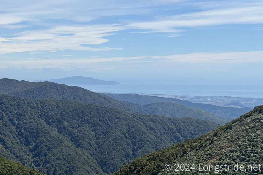
From the hut, the trail continued to climb up Waiopehu Mountain, nearly summiting it. The extra altitude and change in position gave a view west to Kapiti Island, a predator-free wildlife sanctuary.
The trail then dropped down and nearly summited its neighbor, Twin Peak. I took a short detour through an obvious but mostly overgrown trail to actually summit that peak. By this point, from the trailhead, I’d climbed over 1,000 meters in only about 8.5 km. The rest of the day wouldn’t be any easier: another 4.4 km and 820 meters of elevation change, steeper, and more downhill.
After another hour, I was surprised to see the Czech couple we met heading back. They’d gotten as far as the bottom of the descent before ascending to Te Matawai Hut, and decided to turn back because of problems with their knees. They planned to take a shorter route back to the road, which also should have less elevation change. He also confirmed that he found the bandanna that CareFree pointed him to.
The trail was as steep as I expected, but in much better shape than I anticipated, given how steep it was.
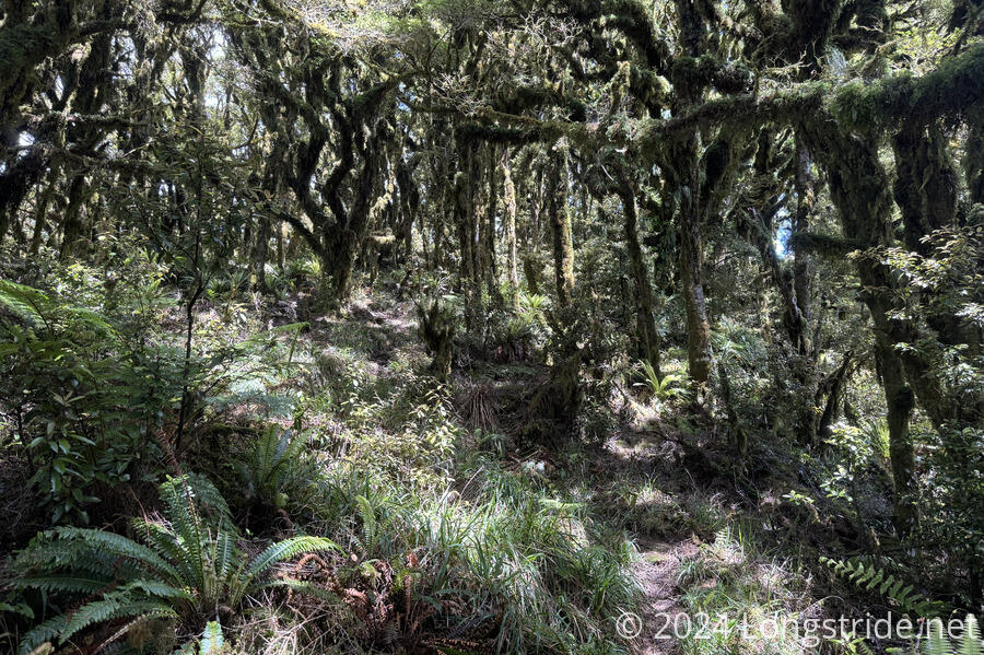
Once back in the forest, the trail felt easier, but I think that’s just because I didn’t have the sun shining directly on me. The forest itself had taken on a wetter, more jungle-like appearance.
Including a 20 minute break about a kilometer from the hut, it took me about four hours to reach Te Matawai Hut. I’m not really used to hiking this slowly for the whole day, let alone the three days it’ll probably take to make it through the Tararuas.
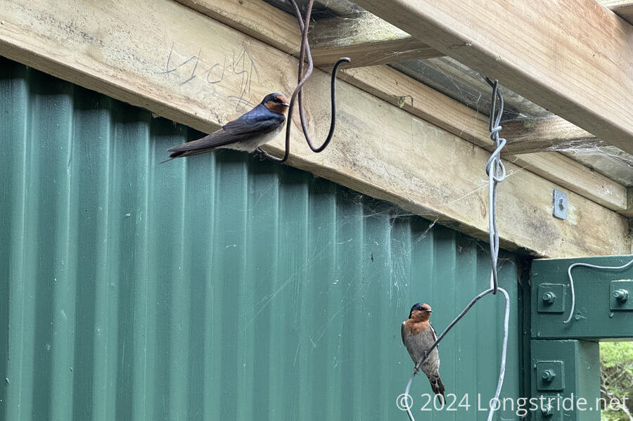
Arriving at Te Matawai Hut, I was a little surprised to find it empty; I was the only hiker there tonight. My only company was a pair of birds who were desperately trying to build a nest in the hut’s vestibule, and were quite annoyed with me constantly entering and exiting the hut.
The hut was pretty spacious, with bunk space for 16 and a large common room. Tired, I very slowly changed into dry clothes, and got ready for dinner. I also hung up our tent’s rainfly to try and dry it out some. I was glad I brought the extra water from the previous shelter; with that extra liter, my pack bladder was nearly dry; I definitely would have run out.
By the time I got there, clouds had blocked the sun, preventing directly drying any of my clothes. Around 8 pm, the clouds descended over the nearby mountains, and a light rain started to fall.
The weather forecast for tomorrow isn’t great: there will be rain. But unless it’s bad in the morning, I’ll head out towards my planned destination tomorrow, Nichols Hut, with the opportunity to stop a little more than halfway at Dracophyllum Hut, if the weather gets bad.
