A plan for a very long day falls through.
Before leaving the shelter, I made one last trip to the spring for additional water for the day; what I collected last night was enough for dinner and some of today’s needs, but not all.
Even with that delay, though, I still managed to leave before 8 am. That was still probably an hour later than I should have left, given what I was ostensibly trying to do today.
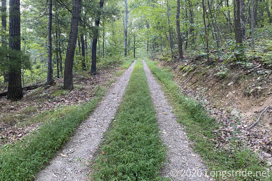
Shortly after leaving the shelter, I hiked up an impeccably-maintained gravel road. If only all gravel roads could be that nice. Alas, I wasn’t on it for very long.
It was sunny out, with a light breeze. For once, it was blue sky, rather than the grayish overcast it had been recently.
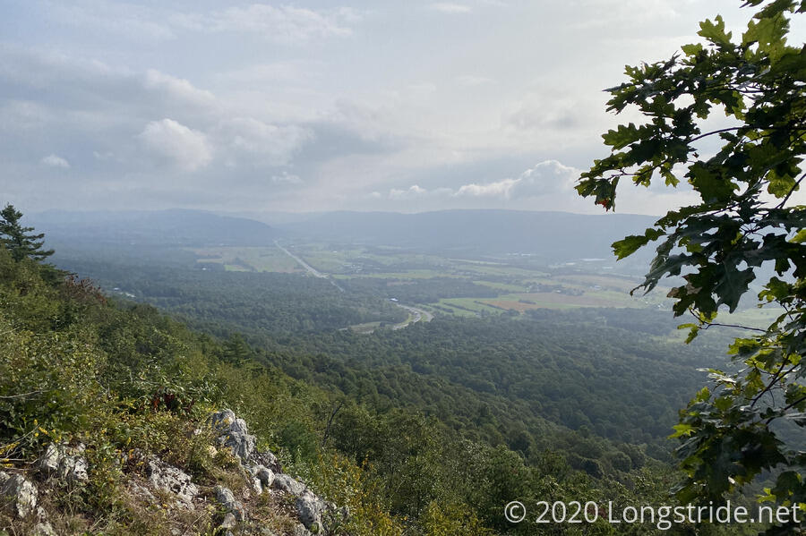
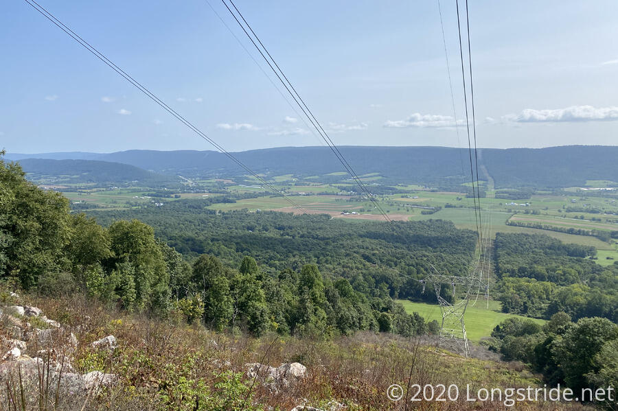
The first climb of the day brought me back up to the ridge of Tuscarora Mountain, crossing over the Pennsylvania Turnpike, which goes through the mountain in a tunnel. For a good portion of the ridge, it was pretty narrow — maybe only ten feet wide at most. There would have been loads of views if it weren’t for trees blocking sight.
Much of the trail over the mountain, but especially after passing the communications tower located directly over the turnpike’s tunnel, was overgrown, so much so, that finding and following the trail was often difficult. So difficult, in fact, that this was one of my slowest sections ever; in parts of it, I was going less than one mile an hour.
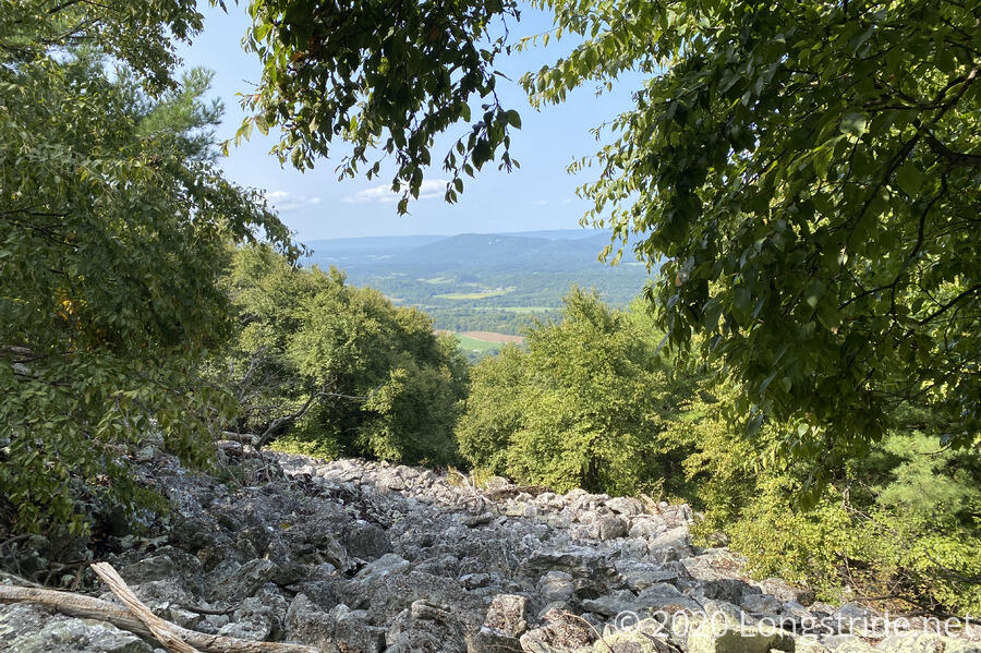
As the trail descended from the ridge and started to join dirt roads, it became easier to hike. It even generously gave up the occasional view.
Leaving the mountain, the trail joined small roads on the outskirts of the town of Swift Run, which seemed to be a largely farming community.
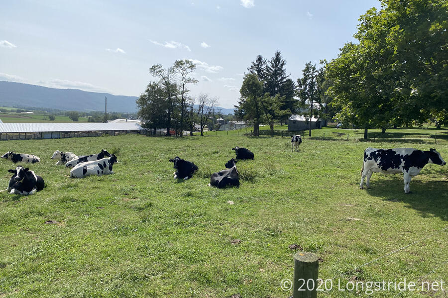
Not having a proper game plan for town — mostly hoping that I’d be able to find a hotel room nearby and then get a Lyft or Uber there — I followed the full path of the Tuscarora through the southern part of town, rather than my original plan to skip that section of roadwalk in favor of a different roadwalk that would take me directly to the center of town, and then back to the trail. This probably added half a mile to a mile of extra roadwalk.
In any case, I stopped at the town’s local grocery store, which mostly sold bulk goods, “discount” (expired) groceries, and also had a small grill and deli. I picked up some hazelnut Snickers bars (mostly to try them out, but also they were cheap) and a soda, then went to the nearby Dollar General and completed my resupply.
While repacking my resupply, I was able to find a motel room nearby (nine miles away), but it was pretty clear I was not going to actually be able to get there. So I walked back to the trail, forgetting to stop back at the grocery store to get food from their grill.
Back at the trailhead, the trail entered the woods and followed a dirt road for a little while, then departed and became absurdly steep. Frankly, I’m surprised there’s still a trail there after it rains.
After the steep climb, I chatted with a hiker just coming off the ridge. He’d started a southbound thru-hike, but given the state and nature of the trail, decided that overnight backpacking it was a bad idea, and instead was section hiking instead.
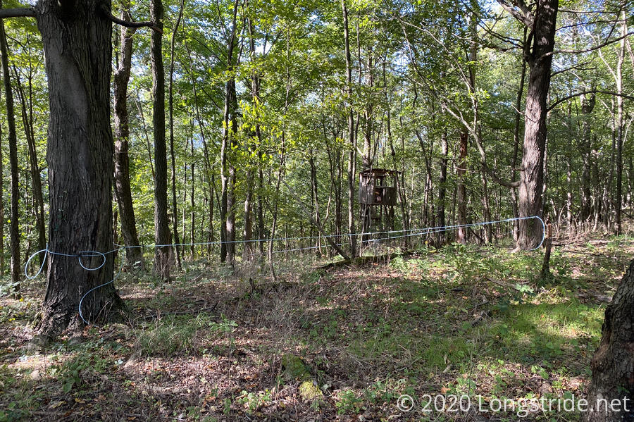
I asked about possible campsites. He said there were “some”, but not really, and not once it started to get rocky. We continued on our separate ways. Shortly after, I passed by a hunting shack ringed by trees with tap lines.
At 5:30, after passing by a number of suitable “campsites”, I found one that was decent, and decided I was too tired to keep hiking.
I cooked dinner, and then set up camp, possibly on private property; but I’d seen no property signs anywhere on the trail since near the road, and most of the time there’s copious signs or markers when the trail’s on private land.
This hike, whenever I cooked dinner, I actually kept record on my fuel can, so that I could tell how long it actually lasted. (I had a vague idea, but in four prior hikes, never actually bothered to count.) Turns out that with one can, I can cook fifteen nights worth of macaroni and cheese, and nine nights worth of ramen. (Which probably means that a can is really good for twelve, maybe thirteen full dinners, which is about what I expected.)
Tomorrow: Finish the distance planned for today, and make it to Fowlers Hollow Shelter.