I got up at 5:30, shortly before sunrise, and by 6:20, we were packed up and on our way to Pinkham Notch for our hike up Wildcat Mountain. We stopped for an all-you-can-eat breakfast at the lodge at Pinkham Notch. Around 8, we headed across the road to start our hike.
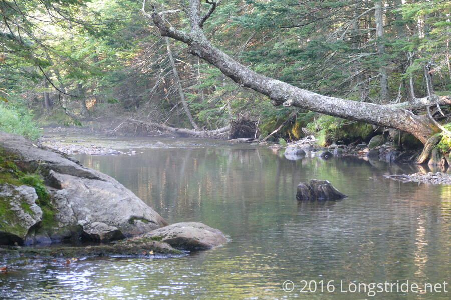
In the Whites, the Appalachian Trail follows a network of named trails existing before the AT was created. Today started off with a nice leisurely hike along a stream on the Lost Pond trail, which Papa Monkey joked about considerably ("How did they lose a pond? If there's a trail going to it, how it it lost?").
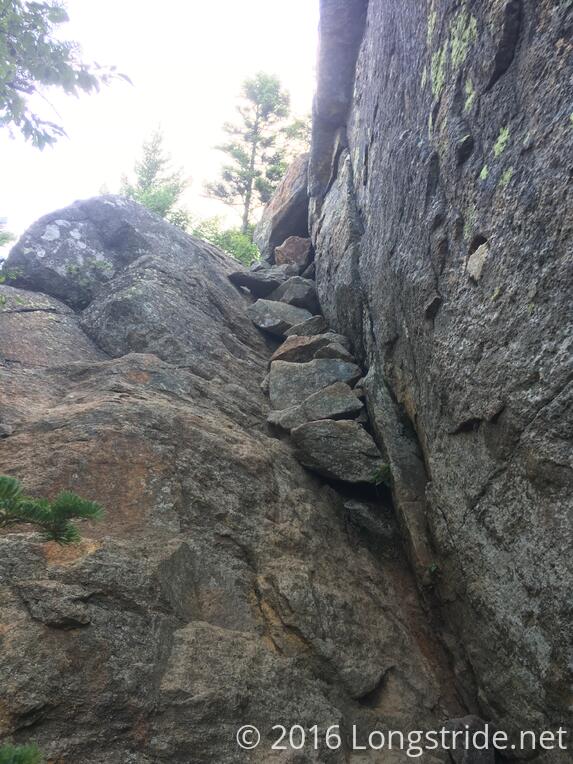
After a mile, though, the trail turned onto the Wildcat Ridge trail, heading up Wildcat Mountain, and then the "fun" began. This was the steepest, rockiest trail I've ever "hiked". It was so steep and rocky, I put my trekking poles away and just climbed up the mountain using my hands and feet. (Papa Monkey also put away his poles. Rainbow continued to use his; I don't know how he did that. For the first time, felt poles to be a liability on this section of trail.)
During our climb, we had some great views of mountains we would hike on later days, including Mt. Washington. But it was also extremely steep, strenuous, and tiring. We took breaks almost every hour, and were only going at the (relatively) glacial pace of one mile an hour, as we made a 2000 foot climb over just 1.7 miles. (Note that while that's an average of about one foot climb per four feet along the ground, there are many sections that are considerably steeper than that average.)
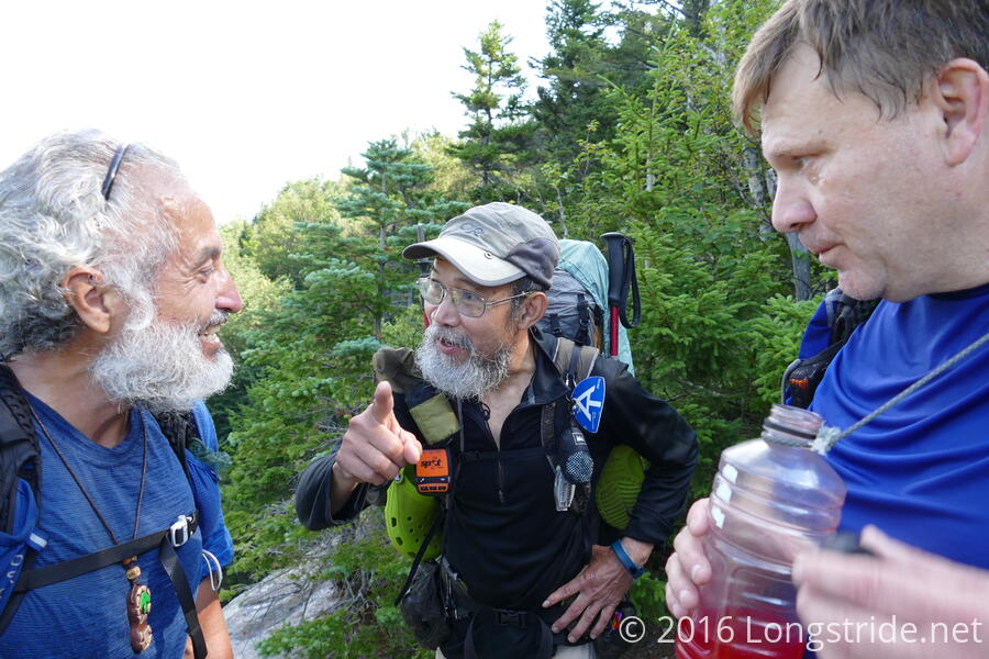
Along the way, we ran into Chicken Feet again. Because of our nearos and zeroes, he was now about a week ahead of us.
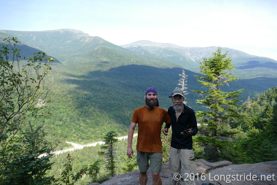
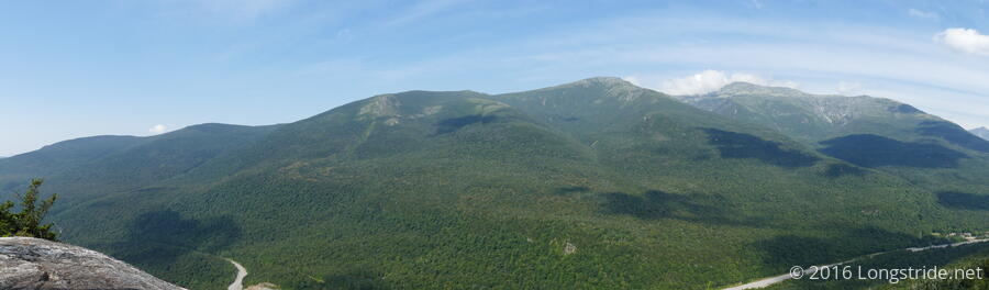
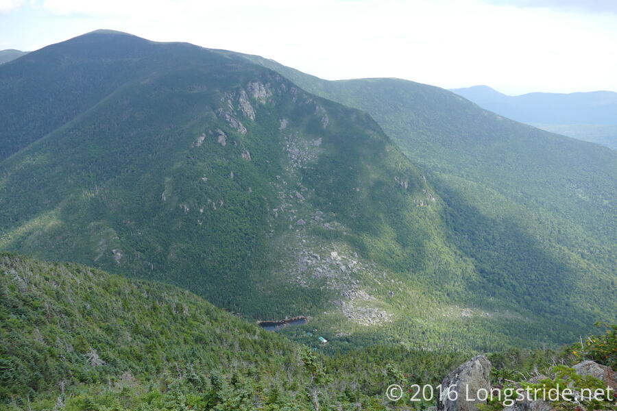
And there were plenty of great views back towards Mount Washington and the Presidential Range.
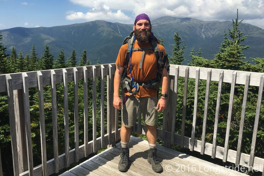
We finally made it to the summit of the Wildcat "D" peak at 11:30, where there is an observation tower and the top of one of the mountain's ski lifts. An informational plaque said that the Atlantic Ocean is only 90 miles away, and can be seen on a clear day. (While it was fairly clear out, it wasn't so clear we could see the ocean.)
After visiting a few more peaks of Wildcat Mountain, the Wildcat Ridge trail began to drop into Carter Notch, a steep drop (though not as steep as the morning's climb.) The Whites are providing incredible views, and in a rarity for most of the trail, there's been numerous chances to see both where the trail has been, and where the trail goes. It is intimidating, to say the least.
An hour after the final summit of Wildcat, we finally made it to Carter Notch Hut, climbing down the back side of Wildcat with an 1100 foot descent over 0.9 miles. I kept my poles put away during the climb down; it was so steep the poles didn't really help, and having my hands free provided more opportunities to grab rocks or trees to use for leverage. My knees didn't really appreciate this, though.
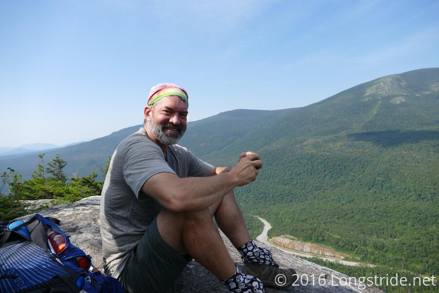
This was easily the most strenuous day yet. I hesitate to say difficult since, apart from a few really steep places on the climb up where the handholds were almost too far apart, it was mostly just an exercise in climbing up and down.
After the climb up and down the mountain, I was exhausted, and after checking in, found my bunk (a top bunk, ew), and took a nap.
Carter Notch Hut is a small complex of several buildings: the main lodge with the kitchen and serving area and crew quarters; two buildings with several small bunk rooms; and the restrooms (composting toilets, and sinks with running water). Many of the other huts have a single large building; the terrain at Carter Notch Hut doesn't support that.
Unfortunately, the walkways between the several buildings are just trail, and rocky trail at that. One had to be careful when moving around so as not to trip and fall on the rocks.
One of the benefits of staying at the huts is the food. The hut crew cooked an incredible dinner, consisting of a soup, salad, rice, broccoli, black bean and cheese enchiladas, and chocolate cake for dessert.
After dinner, one of the hut crew gave an informative lecture on mountain weather, which Rainbow, myself, and easily a dozen other people attended.
Given our extremely slow pace today, we're now concerned that the daily mileage in each of our sections might be overly optimistic and not actually feasible for us to do in a day. Then again, most of the Whites are not this steep, though probably just as challenging. I guess we'll find out.
Tomorrow: 15.2 miles to Gorham, including a steep climb out of Carter Notch.