Today brought us across one of the great public works projects of the 20th century, as we continue to make our way northward in Tennessee along the BMT.
On our way out of the campground, we briefly stopped for water at the faucet near the entrance, filtering the water in hope it would remove the iron taste we found in the water yesterday. (It didn’t.)
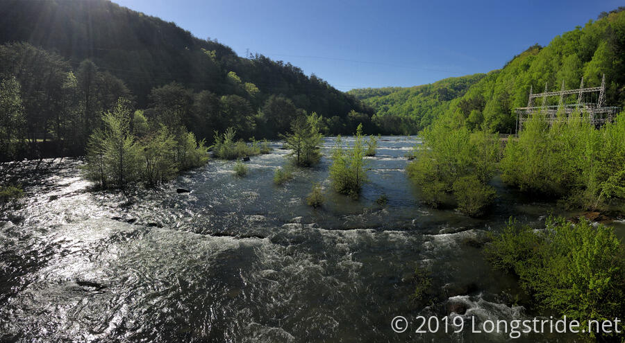
Shortly after leaving the campground, we passed over the Ocoee River via the bridge at the Ocoee No. 3 Powerhouse. The powerhouse, part of the Ocoee No. 3 Dam, is part of the Tennessee Valley Authority, which built the dam between 1941-1943 as part of the TVA system, which provides power, controls flooding, and aids navigation on the Tennessee River, which ultimately flows into the Ohio and Mississippi Rivers. Fontana Dam, which the BMT (and the Appalachian Trail) crosses on our way into the Smokies, is also part of the TVA, the tallest dam in the system. This is also the third time we’ve crossed this river: we crossed it twice in Georgia, where it is known as the Toccoa River. (We crossed it for the first time at the end of our second day on trail.) This is the last time we’ll cross the river, so, third time’s the charm, I suppose.
On the north side of the river, the trail began a steep climb into the Little Frog Wilderness of the Cherokee National Forest. The birds seemed to be chirping a bit more than usual, but otherwise it was an uneventful climb. (The sign at the top of the climb, as we exited the wilderness, had fallen apart, and simply exclaimed “FROG National Forest“.)
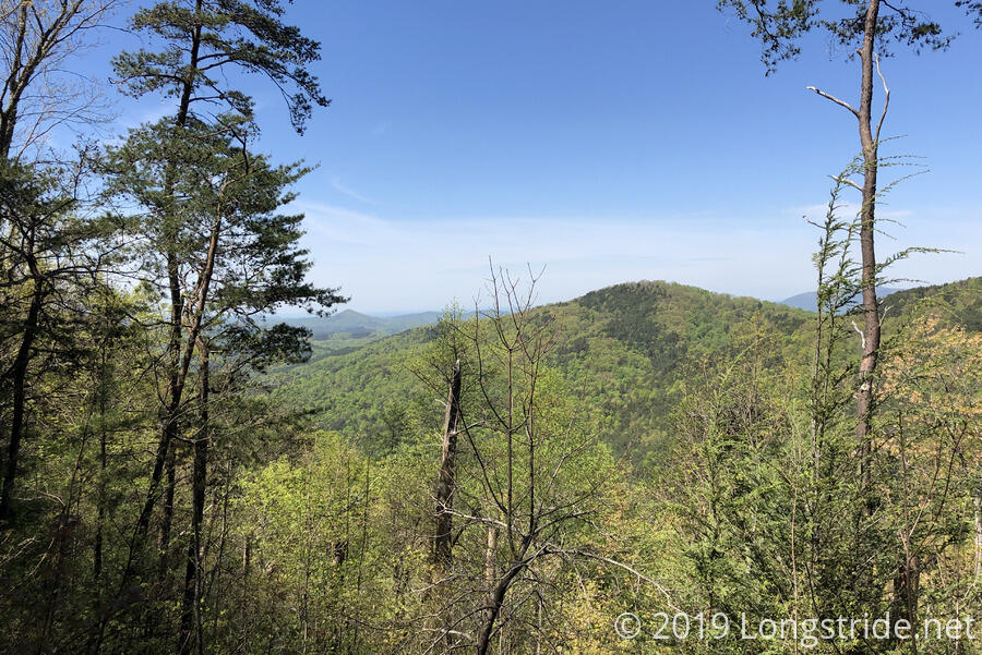
A mile later, the trail reached a view to the west, with a nice tree log bench to sit on. With a light breeze blowing, it was really quite nice.
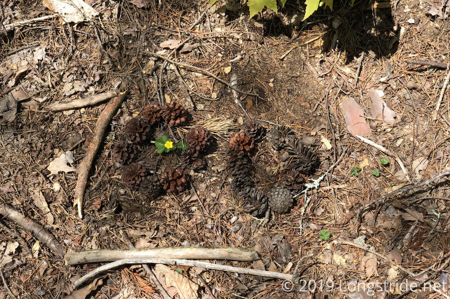
Just under a mile later, we reached the 100 mile marker. That is to say, there was no 100 mile marker, so we made our own on the side of the trail. Now, just under 200 miles remain; we’re a little over a third of the way through the trail.
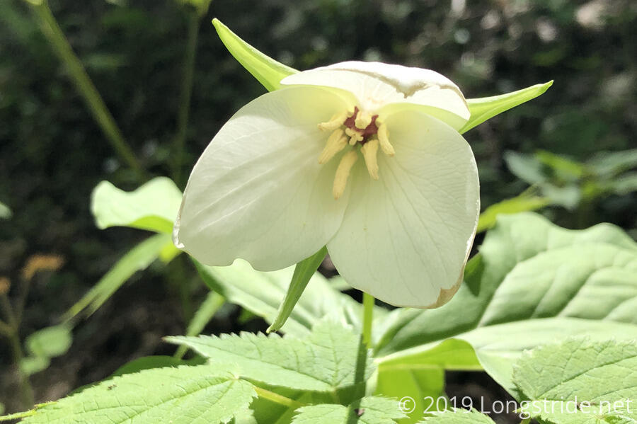
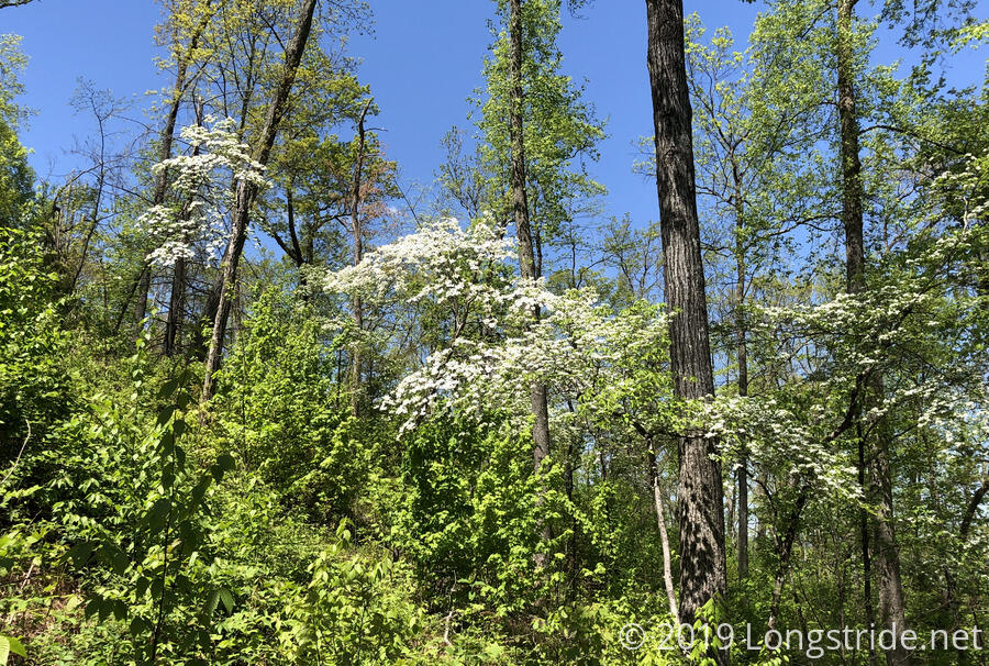
The trail late in the day meandered through some less-well-maintained trails and old road beds, with more debris and fallen trees on the trail than usual. And, as we’ve gotten later into April and the weather gotten warmer, the hiking has gotten harder as the heat and sunlight sap our strength. At one point, tired and in need of a break, I tripped over some branches I should have had no problem with, and managed to bend one of my trekking poles. I was able to slightly mitigate the bend by adjusting the sections on that pole, but that’s not a complete (or permanent) fix. On the roads, high grasses bred ticks, and between CareFree and myself, we found five ticks crawling on us over the span of 2.5 miles. That was not awesome, but at least the trail still had bits of beauty if you looked for it.
Around 4:30, after just under 14 miles, we reached our campsite on Lost Creek. With plenty of time to kill, we hopped into the creek to rinse off. The water was cold, so I couldn’t stay in very long before my feet felt like they were on fire, but CareFree rather enjoyed it.
In no particular rush, we took in the scenery awhile before eventually setting up the tent and doing all the other things hikers do in the evening.
That one of my trekking poles is bent is problematic and annoying, but there is an outfitter in Reliance tomorrow, so maybe they will be able to do something about it.