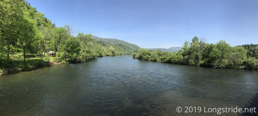
Today took CareFree and I through the small town of Reliance and along the Hiwassee River as the trail turned us east towards North Carolina.
It was somewhat warm last night and this morning, which in theory, should have made it easy to get up and start hiking. However, my lower back hurt kind of bad, and it made it difficult (painful, even) to do anything that required even the slightest amount of bending, stretching, or leaning. Which, when you’re camping, is just about everything. As a result, though we set an alarm and planned to get up earlier than usual so we could do a small resupply and get food in Reliance, it took far longer to get going than we expected, and we didn’t leave any earlier than usual: just before 9.
The trail was damp and wet, and particularly muddy in places as it traveled over an old road bed. Where muddy, we could see a variety of animal tracks; deer and bear (or a very large dog) were most apparent.
The trail followed Lost Creek for a couple miles before peeling off, but not before making us ford a tributary, getting our feet a bit wet. Just before we got to Reliance, a particularly annoying ford stood in our way. The trail had joined a paved road, which crossed (or was crossed by) a creek. This seemed a particularly strange design decision. The creek wasn’t too deep, but there was no way through that would not soak our shoes, and since we didn’t want to have wet feet while in town, we stopped, took off our shoes, put on our camp shoes (Crocs for me, and a pair of Crocs flip-flops for CareFree), and crossed that way. With my back howling out in pain, this was especially tiring and mentally draining.
Our plan was to go to the Hiawassee Scenic Outfitters, located immediately next to the trail, to add two days of food so we could make it to Tellico Plains, and also have them look at my bent pole to see if there was anything they could do to unbend it. However, when we got there, we found that they were not yet open for the season. But, they were in the process of setting up, and did have their WiFi turned on, so we paused there for a short while to take advantage. Well, I say we, but, CareFree’s phone is unfortunately still broken, so, just me. This was our first internet access since Hemp Top mountain, almost 30 miles (and two days) ago.
Our next stop was the Webb Bros. store, also adjacent to the trail, where we were able to do our resupply. It was a small store, with mostly short-term supplies, so the choices were somewhat lackluster, but I was able to get pop tarts for breakfast, and some pasta sides and spam that I’ll combine into a full meal for dinner.
We crossed a bridge over the Hiwassee River, which is also the trail’s lowest elevation, at 745 feet, and made our third and final stop in Reliance, Flip Flop Burgers, down some stairs just off the trail. There, we re-energized with burgers, fries, soda, and a little bit of ice cream.
My back still hurt (though a little less). To help out, CareFree offered to carry the whole tent (instead of just her half of it).
In a fit of optimism, I also called ahead to Tellico Lodge, where we have reservations on Saturday, to arrange a pickup from the trail about 44 miles ahead, and promised to call them again later and either confirm or cancel the pickup so the lodge’s owner doesn’t have to trek all the way out to the trail for no reason.
After that, we headed out of town, starting with a roadwalk that would take us along the north bank of the Hiwassee River.
At a parking area just before the trail reentered the woods, we passed a car with the license plate “THRUHIKD” and an Appalachian Trail Thru-Hiker sticker, so we figured we’d run into them somewhere on the trail. Sure enough, we did; they were an older couple who had hiked the AT in 2010. We chatted with them for a few minutes, before continuing our separate ways.
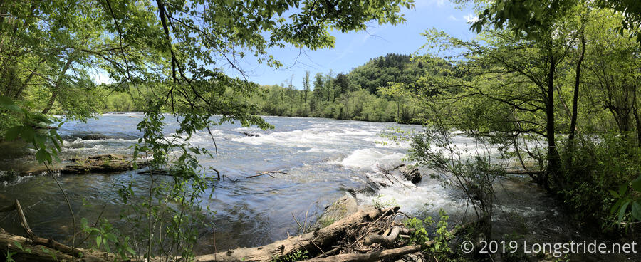
The trail continued to run near the bank of the river, which was clearly being flooded, like the Ocoee River yesterday. In a few places, the river was almost encroaching on the trail. When we ran into some locals at another picnic area fishing, we learned that, due to the rains last week, the dams were releasing water (and running extra turbines at the power plants), but they expected the water level to drop on Friday.
After we left that picnic area, we began an accidental roadwalk, not seeing where the trail went back into the woods. There wasn’t a lot of traffic (and what traffic there as wasn’t going very fast), so it wasn’t too dangerous. There was a small benefit, though: we were a little closer to the river than the trail.
We took another break at a picnic area. While there, we saw a snake swimming across a creek.
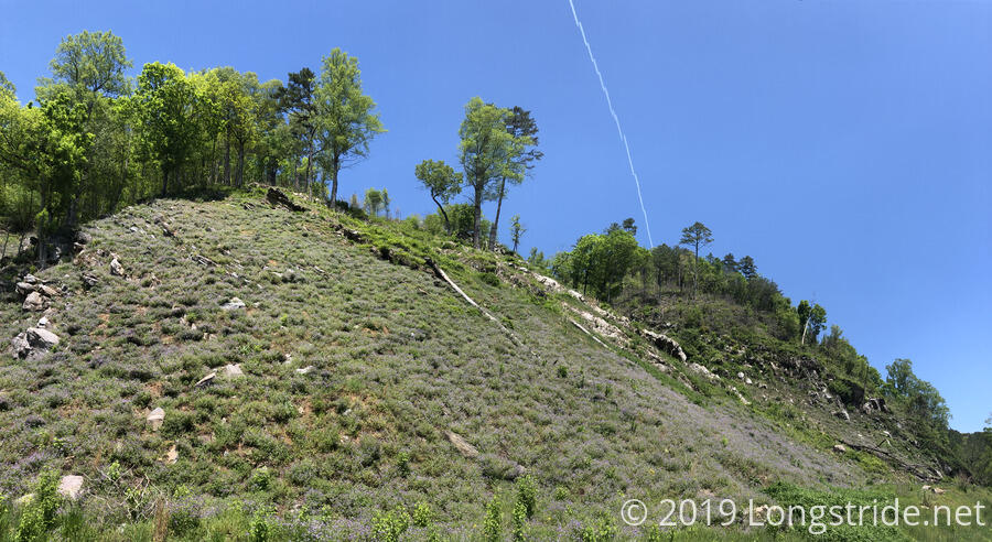
Reentering the forest, the trail began a steep (but not too long) climb. The first part had a series of switchbacks with very well constructed retaining walls. After that, though, the maintenance slacked off a bit, and we wound up having to go through a blow-down on the trail.
With my back hurting, the end of the day was a bit of a slog. It was hot and humid, the spider webs were an incredible nuisance, and the trail wasn’t particularly easy to hike. But, we made it to a campsite, although about a mile and a half short of where we had intended. Still, it was a good place to stop, with water readily available from the (quite obviously flooded) Hiwassee River. As it was earlier in the day, the river covered numerous small islands with trees, leaving only their tops above water. Near the campsite, debris swirled where it became trapped by currents. Damp ground and debris on the bank, several feet higher than the water level, suggested the river was even higher recently.
There was ready access to water (and a fire pit we didn’t need), but it wasn’t the best campsite — the ground was slopes a bit too much for my liking. Still, we made it work.
Most nights when we camp, it’s fairly quiet out. Not so tonight. Crickets, frogs, and birds formed a chorus until quite late in the evening.


