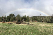
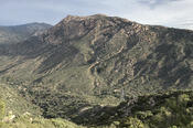
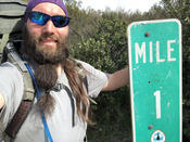
Today was my longest day yet (which, being day three, is not really saying much), progressing 14.8 miles down the trail to Long Canyon Creek. While I was still pretty tired when I got to camp, I was not as exhausted as I had been the last two days.
read more (1061 words, 4 photos)
My second day on the Pacific Crest Trail turned out to be an interesting mirror of my second day on the Appalachian Trail. Though pretty tired, I made some good progress, and managed to hide away in my tent for the evening just as the rain started.
read more (1211 words, 3 photos)
Lee made me a great breakfast of eggs, waffles, and bacon, and after saying goodbye to her, Steve gave me a ride to the trailhead. By 7:41, we were on our way (with a quick return a minute later so I could grab my sunglasses, which I forgot to pick up on my way out the door).
read more (977 words, 3 photos)
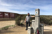
I’ve arrived at the southern terminus of the Pacific Crest Trail, and now begins my second epic-length hike.
Onward, to Canada!
read more (29 words, 1 photo)
Today was a nice, low-key day. With nothing hike-related I needed to accomplish, I could just recover from lack of sleep and start to attune to Pacific time.
read more (237 words, 1 photo)
