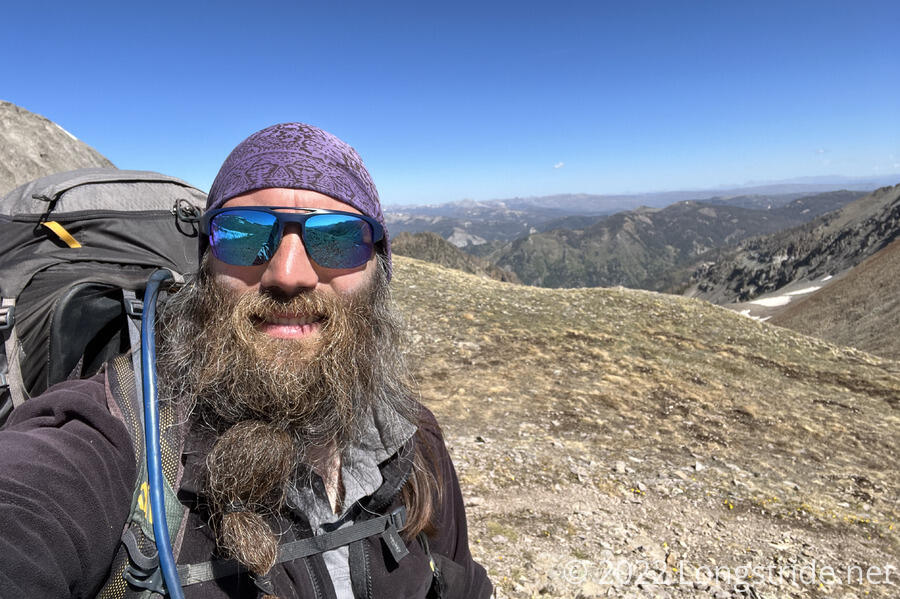
My longest day so far in the San Juans was unexpectedly eventful, and sets up a short day into town tomorrow.
It was cold again overnight, which spoiled my attempt to be ready to hike at 6 am. Naturally, everyone else was gone before I left camp, at around 6:30. But this was still a rather early start for me in the San Juans.
My departure was partially delayed by my tent being more annoying to take down than usual; one of the guy lines got stuck in a mound of frozen dirt, and I had to chip it free.
From the campsite, I began a long climb, first hiking up to the CDT, and then beginning a 1300 ft ascent from the bottom of the river valley to the plateau at the top.
After the long climb, the plateau at the top was a wonderful reprieve, and while it wasn’t exactly flat, the trail only gently bounced up and down for a while, allowing for fast progress.
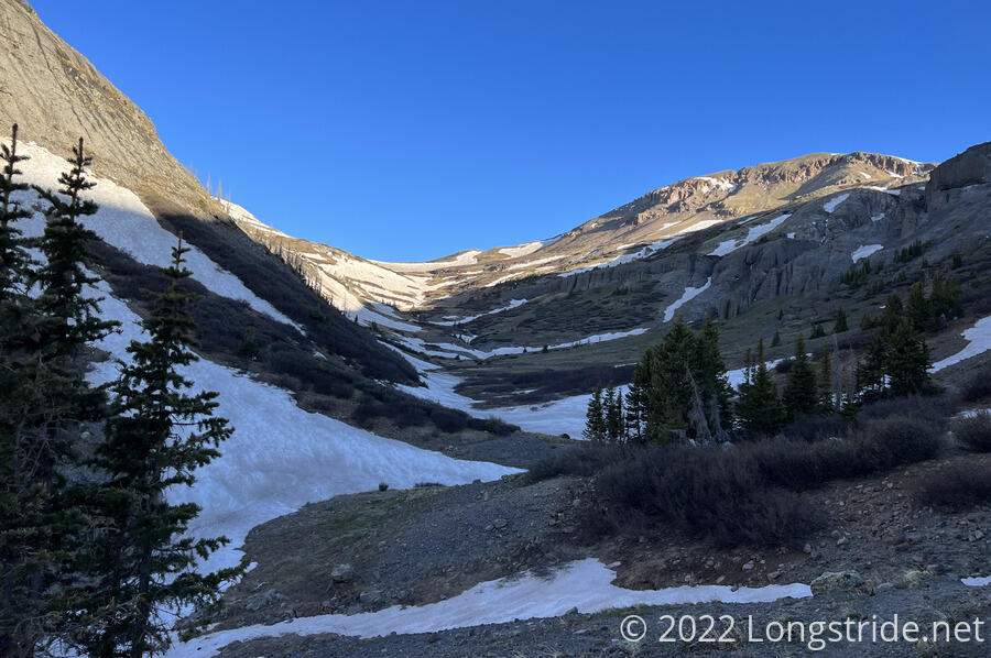
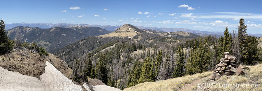
Beyond the plateau, though, was the first large snow field of the day. On the plateau, the trail had been running alongside and below Summit Peak. Now, though, the trail curved along the steep, snow-covered north face of the mountain. After passing Summit Peak, the trail continued north, following below the east-facing ridge, and passing above a frozen lake.
There were maybe seven of us hiking along the path suggested by the trail, three individuals and the group of four that we saw yesterday, but taking our own paths towards where we needed to be.
I sort-of followed the general direction of the trail for maybe a bit too long, until I saw two hikers from the group of four drop down off the slope and head for the snow-free side of the lake. Seeing that this was a much nicer route (even if it had a bit of extra elevation change and a steep climb back up to the trail), and more importantly, didn’t force hiking along a steep slope with the risk of sliding into the lake, I followed.
It probably wound up being faster, as well as much safer. (And, one of the group of four, who had followed the actual trail around the snowy curve, told me that it was a smart idea to take the route I did.)
Ahead, the trail was partially snow-covered, making for frustrating hiking.
I reached a spot where the snow on the trail reduced the space between the ground and the rock wall above the trail. With no snow, this wouldn’t have been a problem. However now, the clearance was so little that I couldn’t easily fit my pack through the gap without leaning further away from the cliff than I was comfortable doing. I backed out, and consulted with Boss, who was just behind me. He suggested taking off all the stuff that was extending beyond the pack itself (e.g. my crocs, sleeping pad, and ice axe) to reduce its space. Then, one of the four guys came up from behind, and suggested he take my pack, and I his (much smaller, and lighter) pack. That worked out wonderfully. He said he was a snow instructor in Glacier National Park, and it was clear from his ease of movement that he understood snow (and his personal flexibility) far better than I ever will.
(I was too busy paying attention to my footsteps, but later, Boss saw them running and jumping across gaps in the snow. Clearly the result of lots of training, mixed with a touch of insanity.)
Eventually, the trail turned east below the south face of Montezuma Peak, and the snow reduced. For a long while after that, snow did not present a significant hazard (though occasionally a nuisance).
At one place where the trail went past a somewhat flat area, I passed a mound of snow over four feet deep. While that’s not the case for all the snow on the trail, it’s still going to be a while before it all melts.
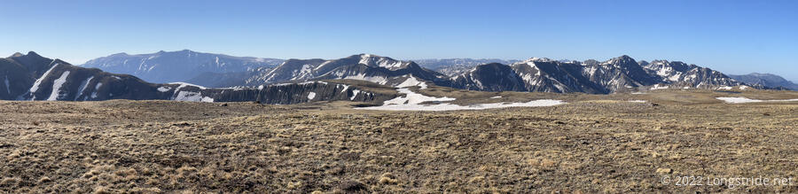
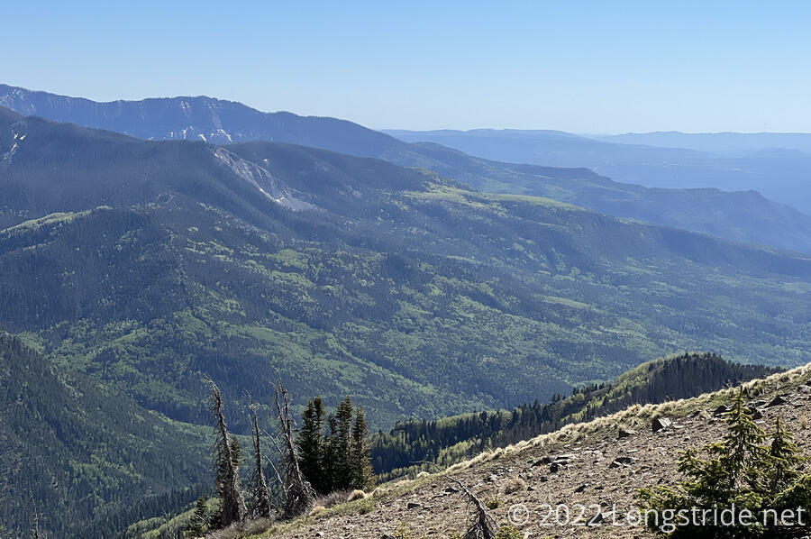
The next couple of hours were largely uneventful. The trail went along some steep cliffs, and then through some wide open areas, before finally entering a forest (which immediately greeted with a blown-down tree).
Around 12:20, after ten miles, I arrived at Elwood Pass, a sort-of crossroads, where the CDT and two alternates (the Great Divide and Elwood Pass alternates) meet.
There, I ran into Boss, and another hiker, and learned that Mr. Freeze and Patches were only about twenty minutes ahead. They’re attempting to go another 14 miles to a ski warming hut, but, so are a lot of other hikers, and I don’t think it’s worth the effort to push that far without the guarantee of getting space in the shelter (which only has space for five people).
I took a break shortly after the pass, and then kept going. I wasn’t going to commit to the warming hut, but there was still plenty of daylight to get closer.
I eventually caught up with Mr. Freeze, Patches, and Boss, while they had stopped for a break. Once they got going again, I didn’t keep up for very long. I fell a little behind taking pictures, and then really fell behind after we traversed a narrow ledge on a steep slope, and they went a bit faster than I was comfortable with.
After plowing through several annoying blowdowns in quick succession, I caught up with the group while they were taking a break at a creek. The warming hut was still ten miles away, and they wanted to push for it. There was some discussion about water; some people were willing to gamble that there’d be water at the hut; I felt it’d likely be dry and the next best place to get water was in a few miles at Silver Pass. If we had to do a water carry, better five miles from Silver Pass than right from here.
We continued on, and I quickly fell behind on the uphill immediately past the creek. It didn’t help that there were a lot of blowdowns in the area.
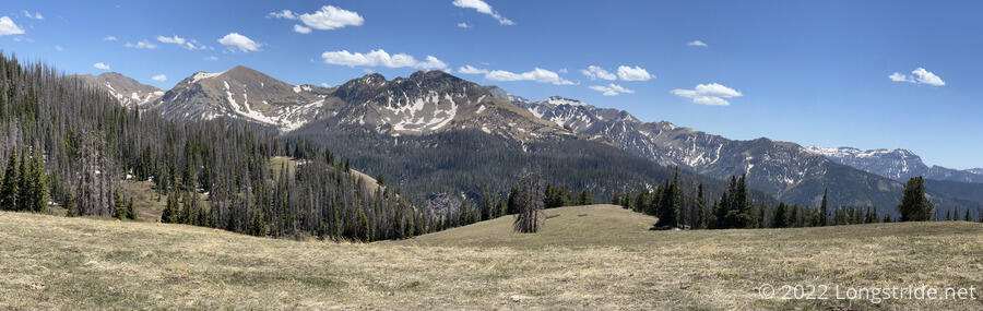
The trail took me along another long walk along a steep slope. In the distance, a very lush green valley was more vibrant than usual.
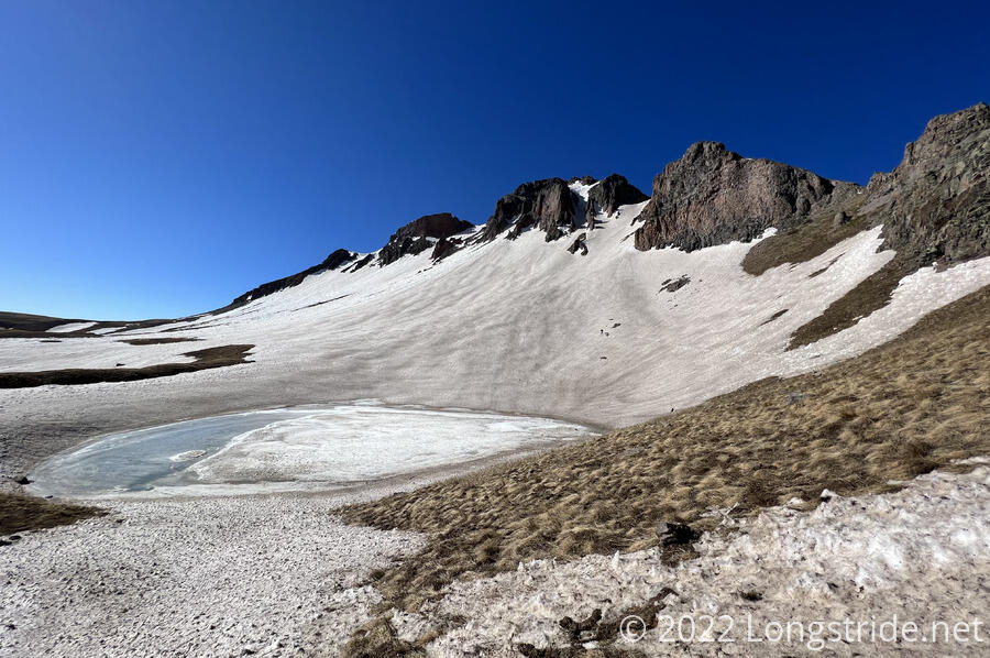
It was a great sight, but the view came to an end when the trail rounded a corner, dropped into a forest, and ran into a pile of snow blocking the trail. The snow was a bit challenging to navigate, but I knew I was close to Silver Pass, so I wasn’t too worried about how long it was going to take.
Near the pass, I’d gotten a bit off-trail to get around the snow, and there was one last snow challenge: a fairly steep slope (maybe fifty feet long) that several people had clearly slid down.
Not wanting to slide down myself, I carefully and slowly inched my way down, trying to embed my feet in the snow deep enough that I’d have some traction. It worked until about halfway down, and then the damage everyone else had done to the slope was too much, and there was only firm ice beneath; I slid the remainder of the way down.
Another quarter mile brought me to Silver Pass, the end of an 18.5 mile day. No one else was here; I guess in their rush to make it to the warming hut, they didn’t want to wait for me. That just means I have a nice campsite all to myself.
As I was starting to set up my tent, I discovered my hard-sided water bottle was missing; I’d used it at my last break, so unless I forgot it there (unlikey), it fell out somewhere in between. This was very annoying; while I could make do with my flexible bottles (well, bottle, singular, since one of them escaped yesterday), they’re not as easy to drink from, or store when full. And the missing bottle was has been with me since my Appalachian Trail hike, so I really wanted it back.
It seems I have a complicated relationship with passes named “Silver”; it immediately reminded me of Silver Pass on the Pacific Crest Trail, which demanded a blood sacrifice from me and the two other hikers with me.
I finished setting up camp, and cooked dinner (two packets of ramen, since I’d been having bad luck with macaroni and cheese lately).
Stopping at 6 pm gave me enough sunlight to fully dry out my tent and sleeping bag, which were still a bit wet from this morning.
Late in the day, I developed a bit of a sore throat. I figured it was probably just from not drinking enough water during the day.
Done with dinner, I retracted my steps a quarter mile back to where I’d slid down the ice, hoping I’d get lucky and find my water bottle. I did; I found my bottle, covered in a little dirt and mud, nestled in a deep boot imprint about 50 or 100 feet downhill from the ice I’d slid down. It would have been easy to write off the bottle as lost forever, but I’m glad I went back and looked. Finding the bottle immediately improved my mood. It really is the little things that can make or break your day.
Back at camp, I finished the remainer of my chores and was inside my tent before sunset. And, it wasn’t even that cold; that’s a first for Colorado. Of course, it quickly got cold after sunset, but by then it was warm in my sleeping bag.
Tomorrow: a short day to the road, and then I go into Pagosa Springs for resupply and rest.